Butcherknife
Total Miles
5.1
Elevation
2,094.77 ft
Duration
1 Hours
Technical Rating
Best Time
Spring, Summer, Fall
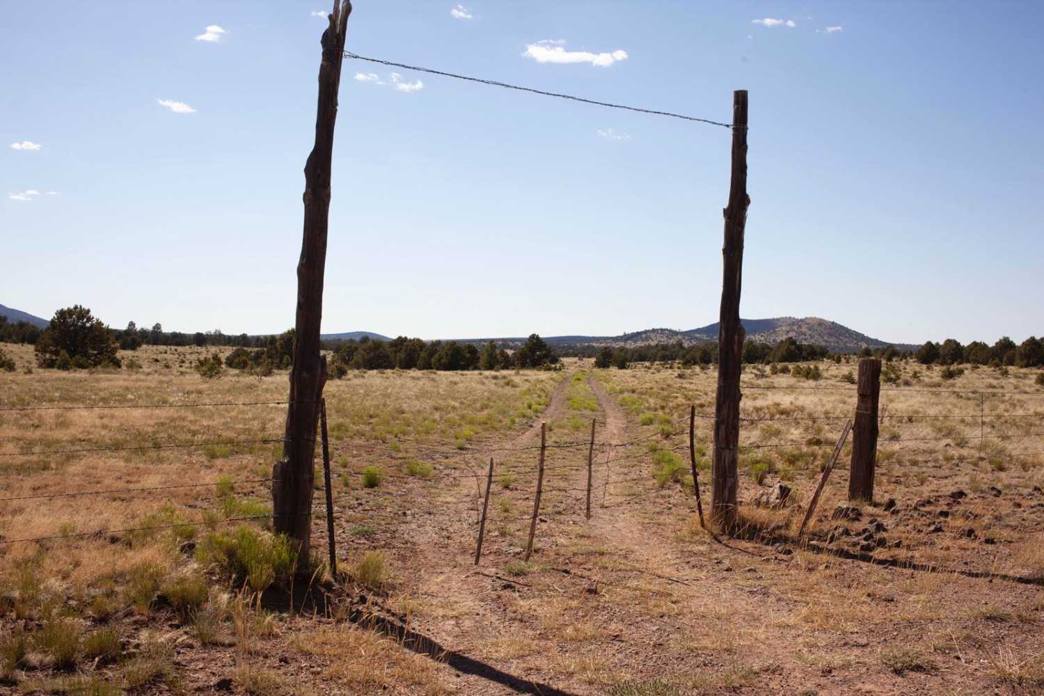
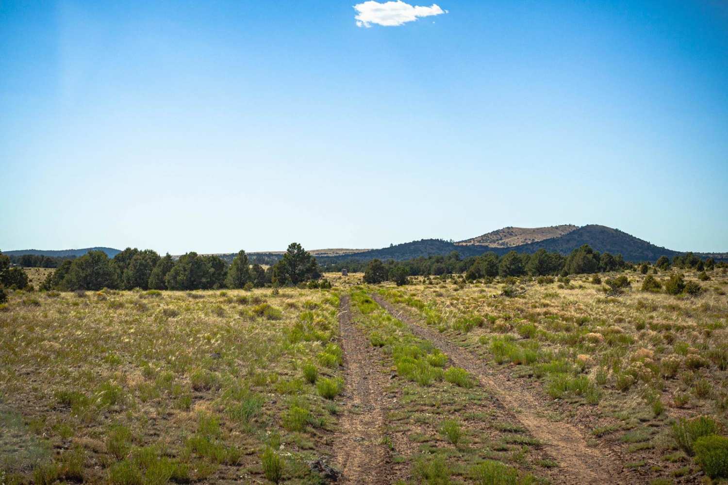
Trail Overview
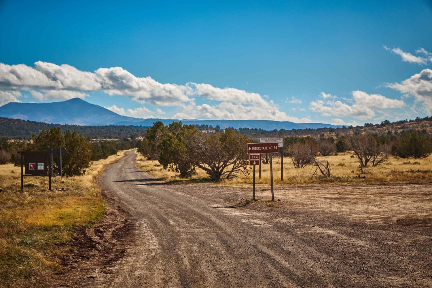
The Butcherknife Trail traverses a pretty diverse ecosystem. At the South end, it starts in an open-range pasture-type setting, with views of the surrounding peaks that are amazing. As you move Northward, you'll come around the North side of Butcherknice Hill, along a fence line and through an old burn scar. The views from the North side of the hill can range all the way to the North Rim of the Grand Canyon, but you'll for sure notice Red Butte, a large hill closeby in another area of the Kaibab National Forest. It has its own extensive trail system it is connected to. Along the fenceline, you'll encounter rocky uphills, with erosion and water damage. This trail is one lane, and TREAD LIGHTLY principles are in effect, so please do stay on established paths in this fragile ecosystem. There are no major obstacles on this trail, but there is also no cell service, so offline maps are recommended.
Photos of Butcherknife
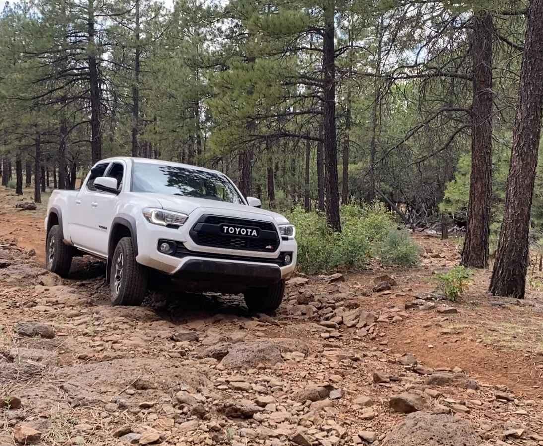
Difficulty
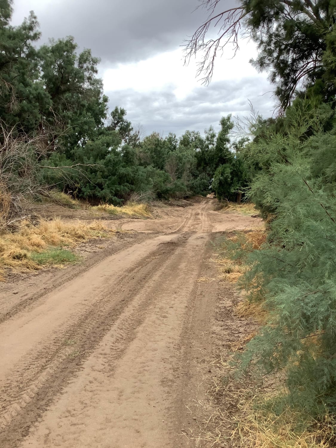
This is an unmaintained trail with varying conditions. The south is dirt and ruts, with possible thick mud after rain events. The north is rocky hill climbs in a burn scar that might prove challenging after a rain event or during monsoon season.
Status Reports
Popular Trails
Thomas Point Connector
Sawtooth Mountain Loop

Congress Cross Cut
The onX Offroad Difference
onX Offroad combines trail photos, descriptions, difficulty ratings, width restrictions, seasonality, and more in a user-friendly interface. Available on all devices, with offline access and full compatibility with CarPlay and Android Auto. Discover what you’re missing today!