Butler Canyon
Total Miles
4.5
Technical Rating
Best Time
Spring, Summer, Fall
Trail Type
Full-Width Road
Accessible By
Trail Overview
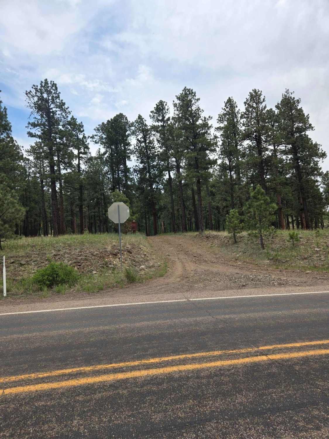
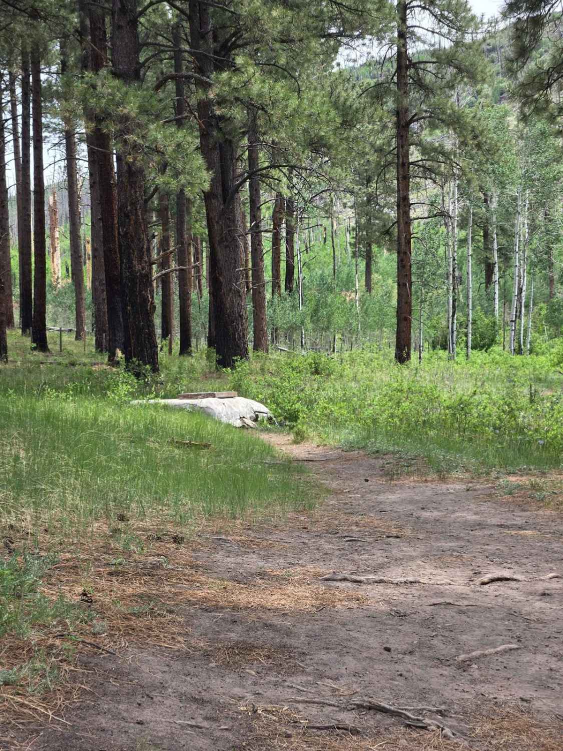
This trail is accessed off Highway 373 just out of Greer. This trail will take you up a steep climb where you will have beautiful views of the town of Greer and the Greer Lakes. Just before you start the ascent, there is a developed spring on the east side of the trail with fresh water coming out. As you start the climb, you will see firsthand the damage that was caused by the Wallow Fire in 2011. Trees are still falling on or near the trail where you climb up and out, so a little extra caution is needed. The trail is very narrow in a few places that wind between the still-standing dead trees. Once you're at the top of the mountain, there are multiple trails to explore and an abundance of wildlife. Elk is by far the most common wildlife, but deer, turkey, coyote, bear, and even wolves can occasionally be seen. Hay Lake is nearby, but there's seldom water in it; however, water is often in the open meadows and can flood out some otherwise open trails. Multiple gates must be opened and closed on the relatively short ride as well as a couple of trail signs marking the Butler Trailhead.
Photos of Butler Canyon
Difficulty
This trail is rated a 5. While some of the trail is relatively smooth, the climb out of Greer is steep and rocky and has some off-camber sharp switchbacks with dead tree obstacles.
Status Reports
Butler Canyon can be accessed by the following ride types:
- High-Clearance 4x4
- SUV
- SxS (60")
- ATV (50")
- Dirt Bike
Butler Canyon Map
Popular Trails

Woolsey Springs
Hells Canyon to King Springs
Eldorado Powerline Trail
Rennir Mountain - Old Highway 80
The onX Offroad Difference
onX Offroad combines trail photos, descriptions, difficulty ratings, width restrictions, seasonality, and more in a user-friendly interface. Available on all devices, with offline access and full compatibility with CarPlay and Android Auto. Discover what you’re missing today!
