Cave Creek Road
Total Miles
14.4
Technical Rating
Best Time
Spring, Fall, Winter
Trail Type
Full-Width Road
Accessible By
Trail Overview
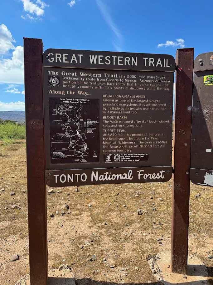
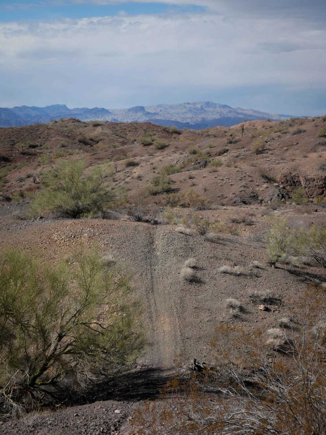
In this area, Cave Creek Road is often called Seven Springs Road or Forest Service Road 24. This is a graded road suitable for almost any vehicle. This stretch of Cave Creek Road begins at the intersection of FR41, called New River Trail on onX. It is the northern leg of Cave Creek that just to the immediate south is called Mesa Connection on onX. It runs north from there until it intersects Bloody Basin Road in about 14 miles. At that intersection you can head east to the Verde River and Sheep's Bridge or West to I-17. Along the way you will see a private cattle ranch called 51 Ranch. It is not unusual to see cars dumped on this road often riddled with bullet holes. The biggest scenic highlight is CP Butte, which is surrounded by rock formations big and smooth enough to drive on. North of that, you will follow along Holmes Creek, which usually does not have much water, but feeds some riparian areas with large trees. The road varies in elevation starting at roughly 4,000 ft at its southern end and reaches as high as 4,800 feet, then finishes around 3,000 feet. It is not uncommon to have snow on the ground in winter. Summertime highs are about 10 degrees cooler than Phoenix. Making it best to visit in Fall, Winter and Spring. This section of Cave Creek Road is also part of the GWT (Great Western Trail). The GWT is a fragmented 3,000-mile, (mostly backcountry route), that runs from Canada to Mexico. There is no cell service on this stretch of road.
Photos of Cave Creek Road

Difficulty
The most difficult thing would be a water crossing that could be up to a foot deep immediately after a rain.
Status Reports
Cave Creek Road can be accessed by the following ride types:
- High-Clearance 4x4
- SUV
- SxS (60")
- ATV (50")
- Dirt Bike
Cave Creek Road Map
Popular Trails


Kendrick Park
The onX Offroad Difference
onX Offroad combines trail photos, descriptions, difficulty ratings, width restrictions, seasonality, and more in a user-friendly interface. Available on all devices, with offline access and full compatibility with CarPlay and Android Auto. Discover what you’re missing today!