Cave Mine Mountain Site
Total Miles
1.0
Technical Rating
Best Time
Spring, Fall
Trail Type
Full-Width Road
Accessible By
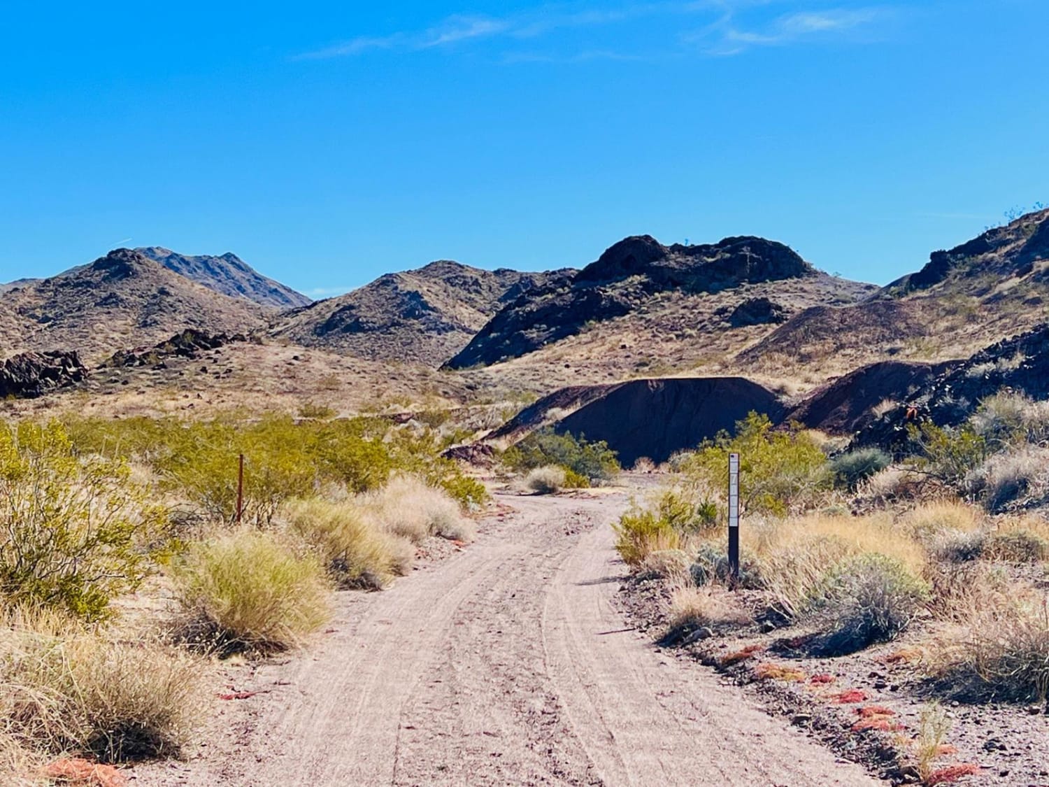
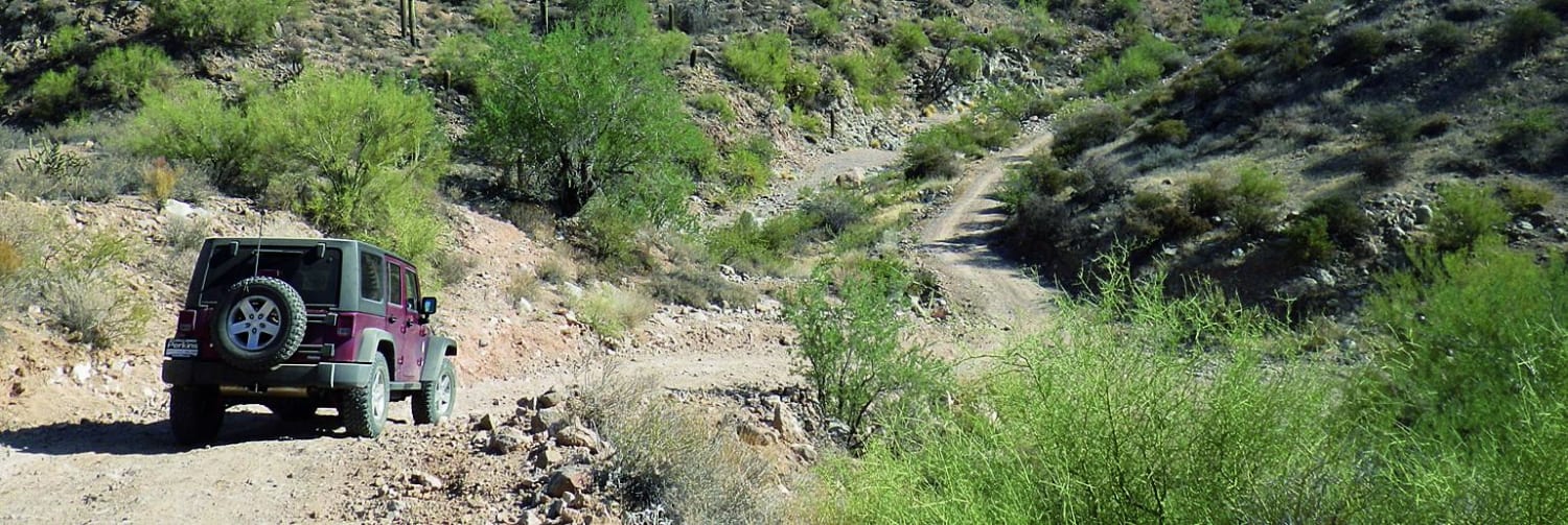
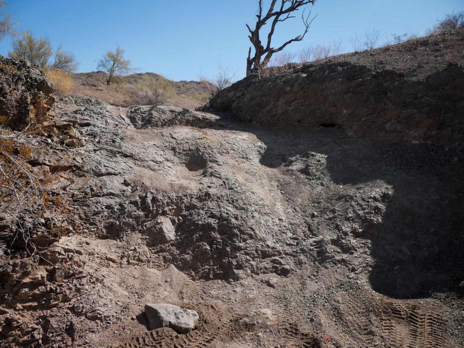
Trail Overview
This is another fun loop trail in a section of BLM land just outside the Lake Mead National Recreation Area. Off-highway travel is allowed outside the Rec Area. This trail can be picked up at a turn on the pavement just outside of a neighborhood. Keep an eye out for it. It looks like it's just a wash. There is a BLM-numbered sign indicating the trail. The trail has a campsite on the right almost immediately, but it is very close to the road. Continuing, the trail will be a little rocky at the beginning and slightly off-camber in places as the trail approaches some mines in the mountain hillside. There are several old mine holes, and the hillside is covered in small caves. This is a very neat area to explore on foot. The trail continues around the little hill mountain. Keep your eye out for more caves higher up on the hillside. The trail then drops into a sandy wash. The wash will have a long, narrow section that meets up with the Middle Mine Fun trail very close to the main road. At this point, continue to Middle Mine Fun or take a right and get back on the pavement. This area is BLM land; it borders the Lake Mead Recreation Area. Federal regulations within the Lake Mead Recreation Area prohibit motor vehicles except on park roads and parking areas. Vehicles are permitted only on approved roads and only when they are properly licensed for street use. Be sure to stay within the BLM area if exploring off-road.
Photos of Cave Mine Mountain Site

Difficulty
The trail is narrow and has only one vehicle width. The sandy washes are made up of loose gravel/sand and have narrow sections lined with desert shrubs. The section of the trail near the mines has smaller rocks in the trail to navigate around and a section that is slightly off-camber.
Status Reports
Cave Mine Mountain Site can be accessed by the following ride types:
- High-Clearance 4x4
- SUV
- SxS (60")
- ATV (50")
- Dirt Bike
Cave Mine Mountain Site Map
Popular Trails
Bulldog Canyon
Bonelli Landing
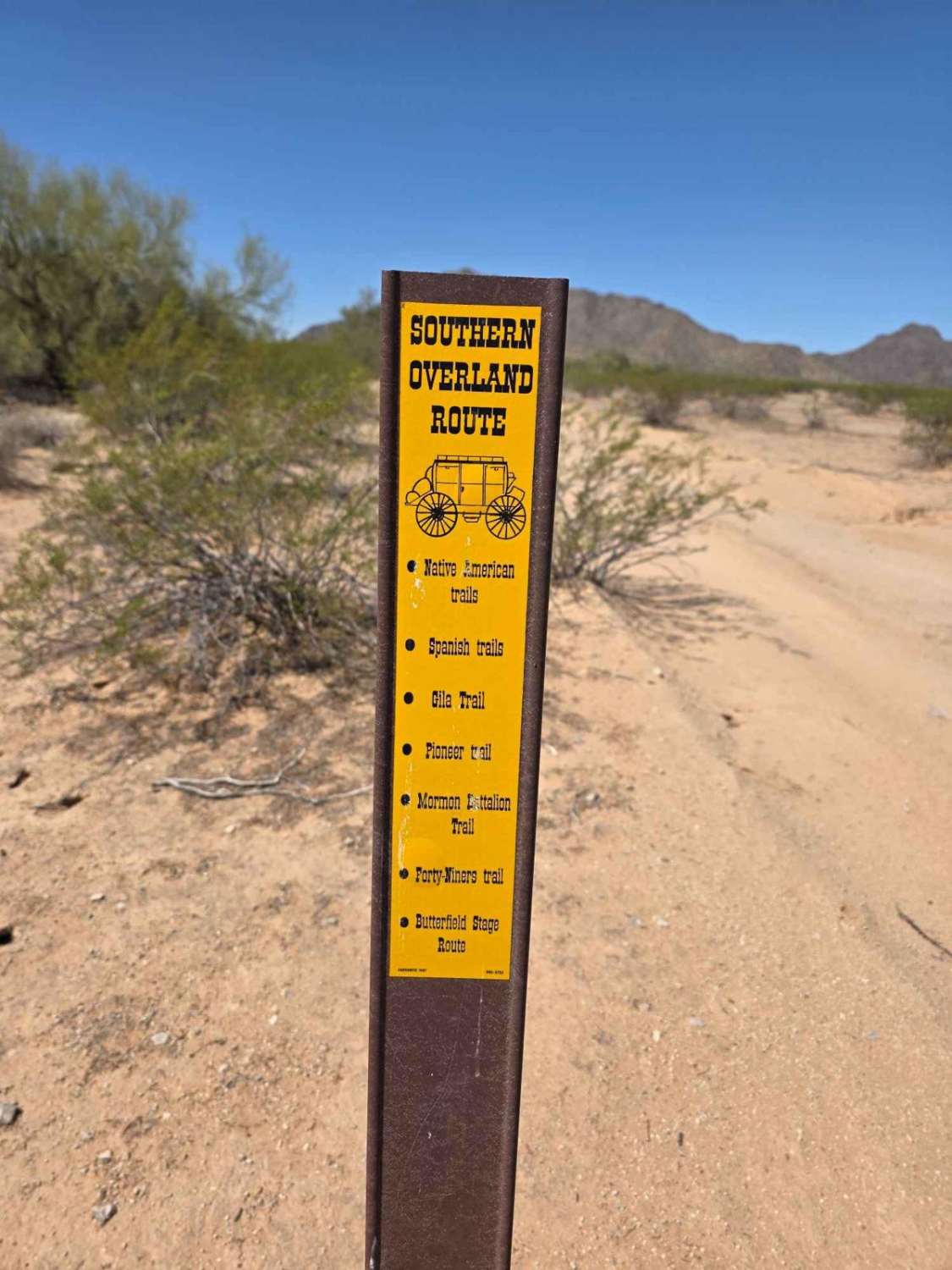
Butterfield Stage Overland Route Section 2
The onX Offroad Difference
onX Offroad combines trail photos, descriptions, difficulty ratings, width restrictions, seasonality, and more in a user-friendly interface. Available on all devices, with offline access and full compatibility with CarPlay and Android Auto. Discover what you’re missing today!