Center of Mass
Total Miles
2.9
Technical Rating
Best Time
Spring, Summer, Fall
Trail Type
Full-Width Road
Accessible By
Trail Overview
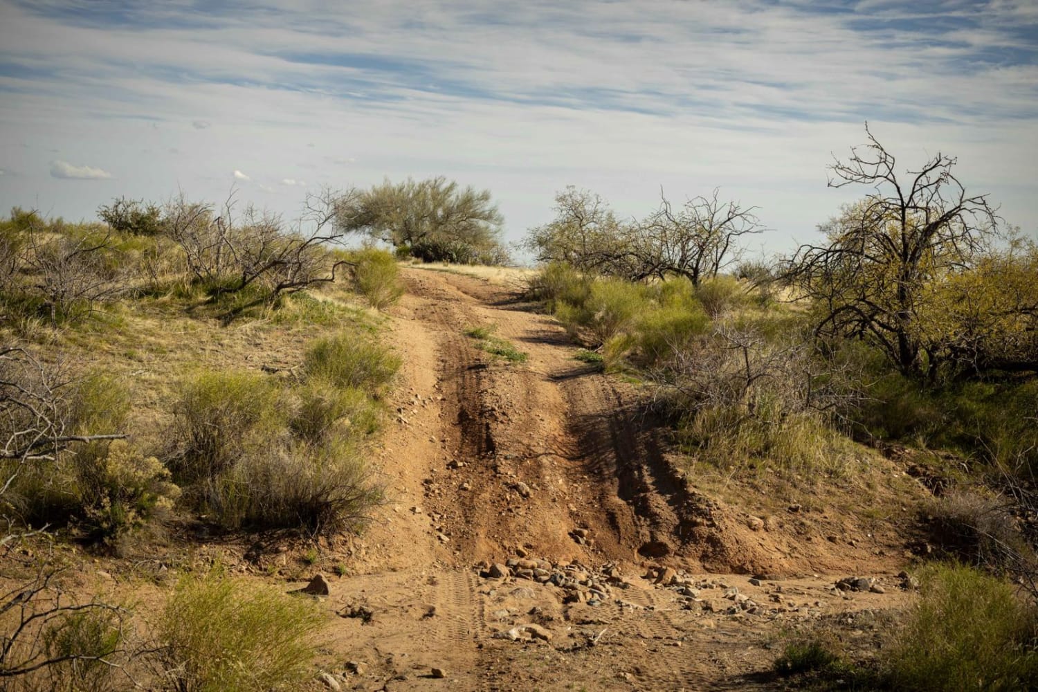
Center of Mass is a relatively easy trail with only 2 main obstacles on it. The first is a wash crossing with a steep exit up a loose and rocky hill. The approach angle here might be especially challenging for lower-clearance vehicles. The second, an off-camber washout crossing up against a fenceline, is much the same, with higher-clearance vehicles having an easier time. Erosion peppers this trail, telling the tale of how this environment is shaped by water and runoff. The rest of this trail is relatively mellow and even follows a powerline section for a time. Cell service is non-existent out here, so offline maps are a must. Parts of this trail are on Arizona State Trust Land, which requires a yearly permit that can be purchased and printed online. The permits allow certain recreational activities, including camping, bicycling, bird watching, GPS-based recreational activities (geocaching), hiking, horseback riding, off-highway vehicle (OHV) usage, photography, picnicking, and sightseeing.
Photos of Center of Mass
Difficulty
This is an unmaintained road with obstacles such as wash crossings and erosion that could prove more than challenging after or during a rain event.
Status Reports
Popular Trails

Mesa Connection

Turkey Mountain

MST&T Tower Lookout
The onX Offroad Difference
onX Offroad combines trail photos, descriptions, difficulty ratings, width restrictions, seasonality, and more in a user-friendly interface. Available on all devices, with offline access and full compatibility with CarPlay and Android Auto. Discover what you’re missing today!


