Charlie's Loop
Total Miles
2.8
Technical Rating
Best Time
Spring, Summer, Fall
Trail Type
Full-Width Road
Accessible By
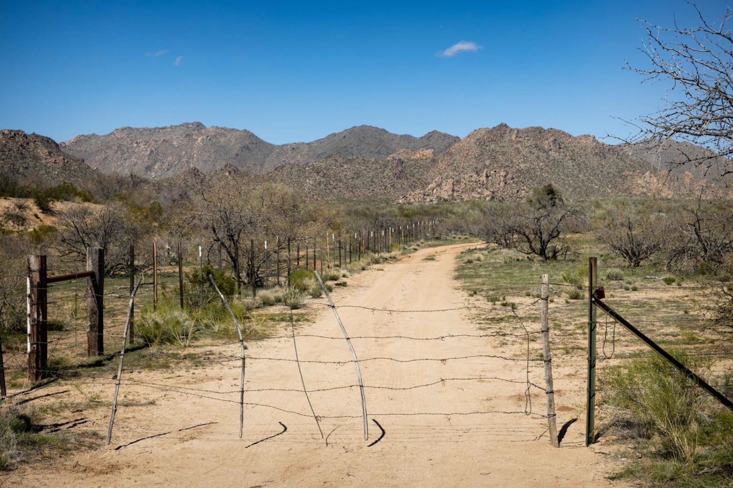
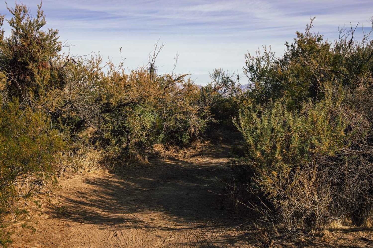
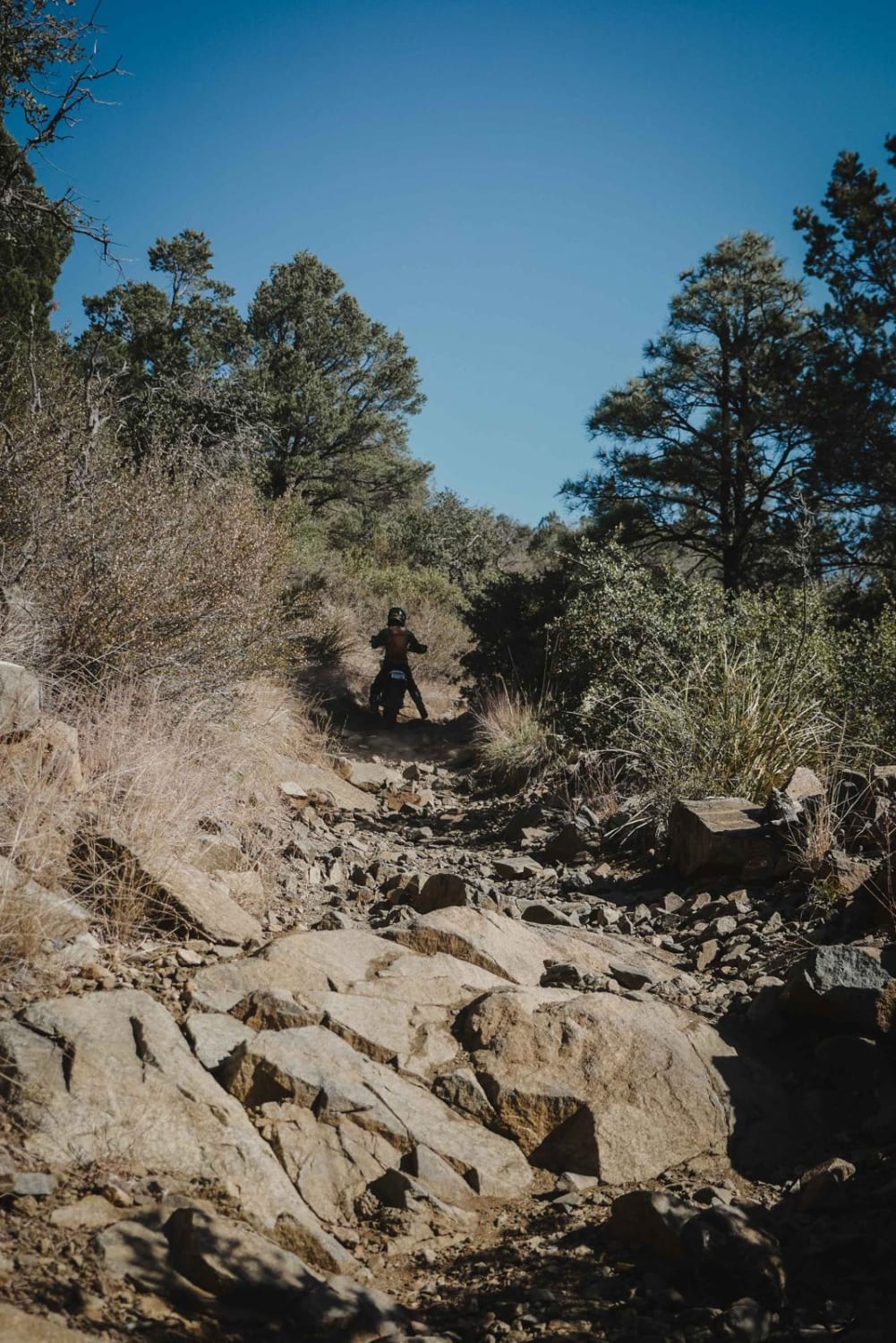
Trail Overview
Charlie's Loop is a mellow dirt track that is lined with cactus and creosote bushes. Some erosion is present on the trail, so it's somewhat slow-going, but the rocks and views of the nearby mountains at the north end of the trail make it worth it. Jackrabbits and cattle are present in the area, as well as donkeys. There is spotty cell service along this trail so offline maps would be a sound idea. This route is on Arizona State Trust Land. This land requires a yearly permit that can be purchased and printed online. The permits allow certain recreational activities, including camping, bicycling, bird watching, GPS-based recreational activities (geocaching), hiking, horseback riding, off-highway vehicle (OHV) usage, photography, picnicking, and sightseeing.
Photos of Charlie's Loop

Difficulty
This dirt trail is unmaintained. After a rain event, this landscape is heavily impacted by water and could change with runoff, so caution is urged. It's one lane wide in most places.
Status Reports

Popular Trails

Boulders ATV

Mesa Tank Cutoff
The onX Offroad Difference
onX Offroad combines trail photos, descriptions, difficulty ratings, width restrictions, seasonality, and more in a user-friendly interface. Available on all devices, with offline access and full compatibility with CarPlay and Android Auto. Discover what you’re missing today!