Clear Water Springs Trail
Total Miles
10.9
Technical Rating
Best Time
Spring, Fall, Summer, Winter
Trail Type
Full-Width Road
Accessible By
Trail Overview
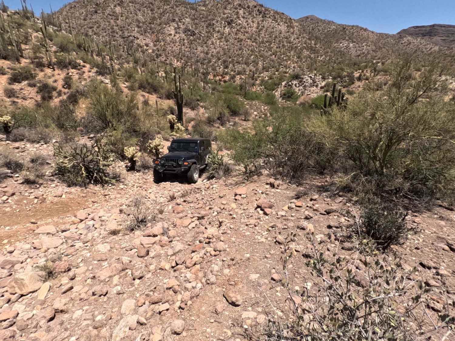
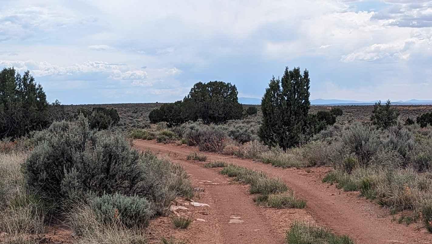
Clearwater Springs Trail is one of the longest side trails on the plateau at nearly 11 miles one way out of Clear Water Point. Out to the point, the trail is rated 3 of 10. However, if you venture past the overlook down into the Kanab Creek valley, the trail jumps in difficulty to a five due to the nearly 1000' descent along the rocky shelf trail. What is unique about this trail besides the incredible views of the Kanab Creek Wilderness Area is that it is the only trail that descends into the canyon below and allows access to the Wilderness Area from the plateau. From the turn-around point at the bottom, it is a short but challenging hike through the vegetation to get to the creek. Do not attempt to drive to the creek; this is a wilderness area, and no motor vehicle traffic is allowed. If you park where this track ends, it is a little over a half mile down to the bottom, where the trail ends at the boundary of the wilderness area. Besides the canyon view, the Moccasin Mountains are visible to the north, with the peaks of Zion in the distance. This area is remote, and the likelihood of running into other travelers is extremely low. The plateau is part of the Arizona Strip, but east-west travel is limited due to the canyons on both sides of the plateau. The Kaibab Band of the Paiute Indians make their home a couple of miles north of this location, so if exploring this area, respect the reservation boundary on the map. This area is accessible year-round and is not subject to the October to May closures of the Grand Canyon's north rim. The area does get very hot in the summer. This is a remote area where the likelihood of seeing others is very low. There is no cell service away from Fredonia. Food and fuel can be found in Fredonia or a little further north in Kanab, Utah.
Photos of Clear Water Springs Trail
Difficulty
Trail consisting of loose rocks, dirt, and sand with some slickrock surfaces, mud holes possible, no steps higher than 12". 4WD may be required, aggressive tires a plus.
Status Reports
Clear Water Springs Trail can be accessed by the following ride types:
- High-Clearance 4x4
- SUV
- SxS (60")
- ATV (50")
- Dirt Bike
Clear Water Springs Trail Map
Popular Trails

Locker Ridge

Ajax Mine to Nw2050

Mesa Tank to Wash Problems

Arizona Peace Trail spur Salome to Harquahala Peak
The onX Offroad Difference
onX Offroad combines trail photos, descriptions, difficulty ratings, width restrictions, seasonality, and more in a user-friendly interface. Available on all devices, with offline access and full compatibility with CarPlay and Android Auto. Discover what you’re missing today!

