Clover Spr Maintained
Total Miles
8.8
Elevation
2,141.86 ft
Duration
0.75 Hours
Technical Rating
Best Time
Spring, Summer, Fall
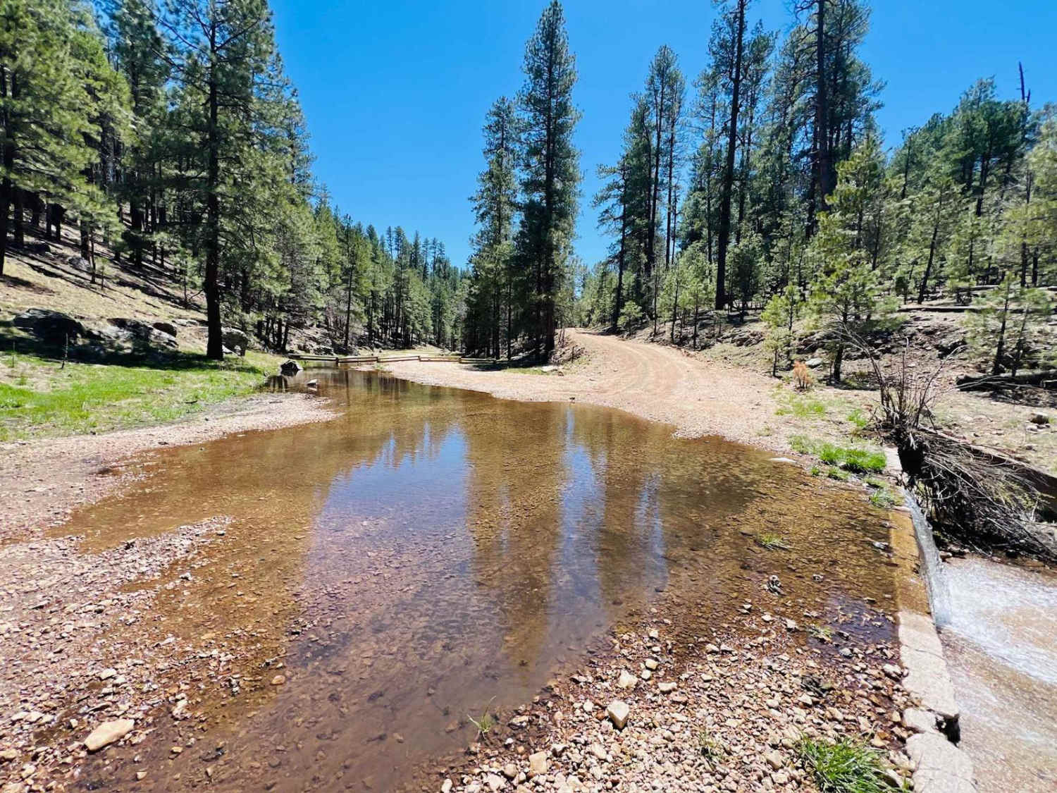
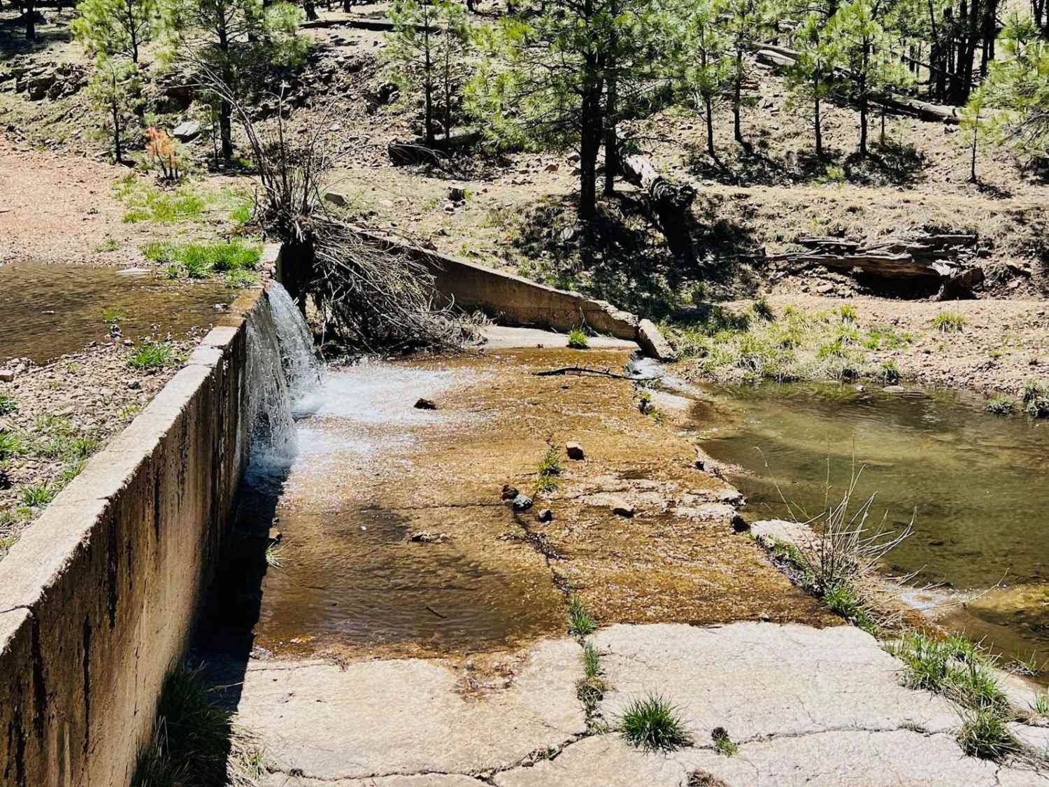
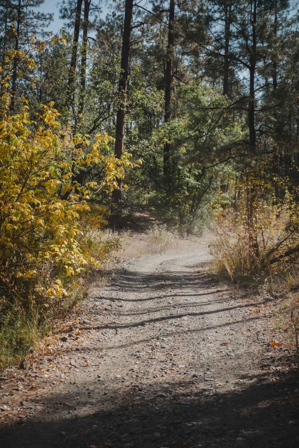
Trail Overview
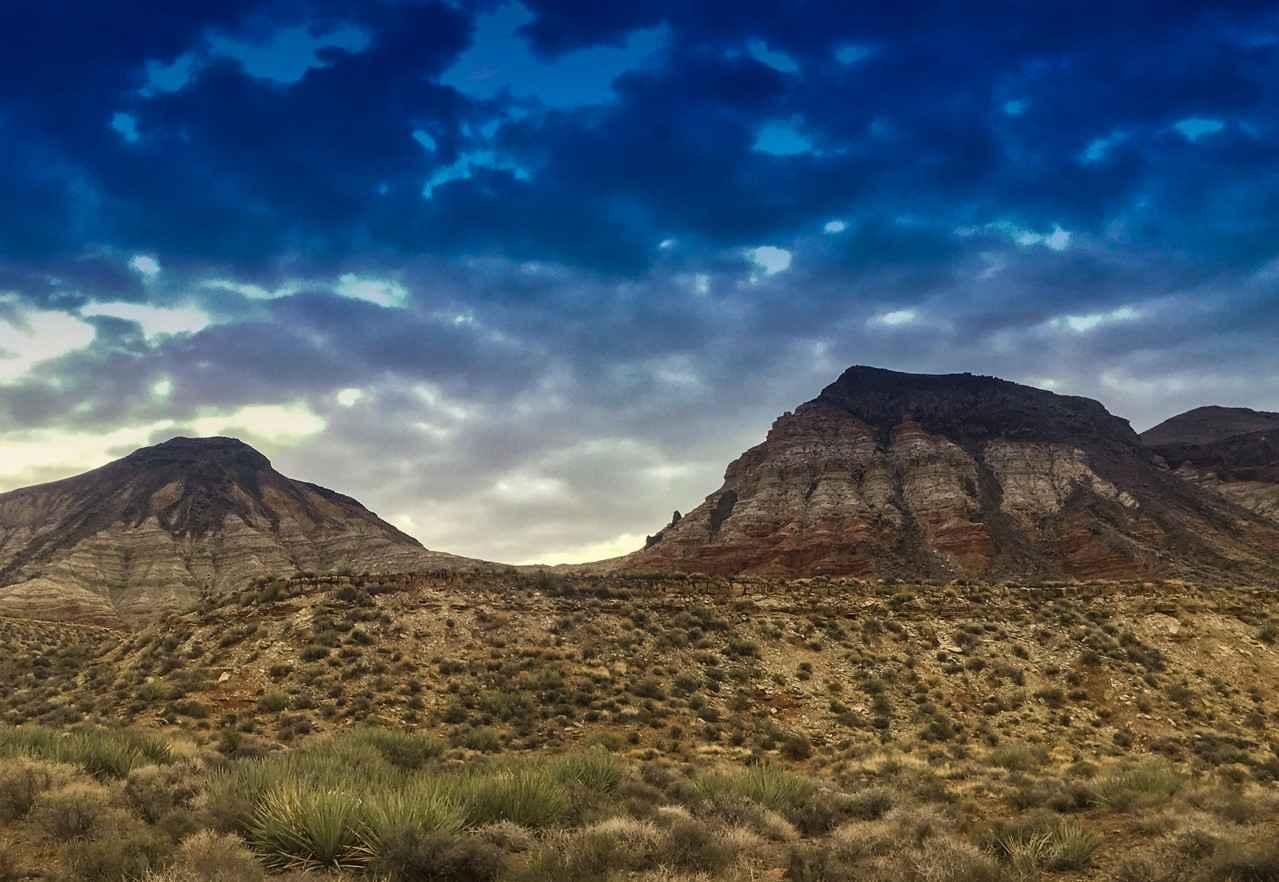
This trail runs from the highway all the way to Tom's Creek, where the trail crosses the Tom's Creek water crossing. At that point, the trail heads uphill and turns into a narrow cliff-side shelf road. It would not be easy to pass two vehicles without one needing to back up. The trail drives along above the creek. Some nice open campsites at the beginning of this trail closer to the highway are easy access for larger rigs and RVs. This area has experienced a burn in the past, and signs warn of potential trees falling. When you turn up the hill away from the creek, the area flattens out, and you'll start to see a network of trails popping up to explore. The Clover Spur Trail continues but becomes an unmaintained road for low-clearance vehicles. To continue that section of trail all the way to the highway, it turns into a 4 with ledges, boulders, and rock gardens.
Photos of Clover Spr Maintained
Difficulty
This trail is an easy graded route that is generally wide enough for two rigs to pass each other but occasionally narrows where that would not be easy. It could be very washboarded by the end of summer due to heavy traffic.
History
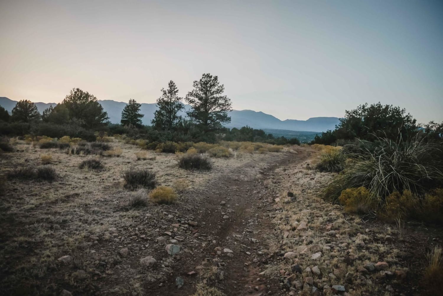
The Mogollon Rim is a rugged escarpment that forms the southern limit of the Colorado Plateau. It extends across the entire forest, approximately 200 miles in total, and provides excellent views within plateau country and desert canyon country as well. Dropping as much as 2,000 feet in some areas, the Rim offers some of the most far-reaching scenery in Arizona. Views stretch from its rocky precipice to Four Peaks of the Mazatzals northeast of Phoenix. Sightseeing is a favorite activity along the Rim. Still, this forest area also boasts a historic system of hiking and horseback trails, a couple of picturesque lakes for boating and fishing, and backcountry skiing for wilderness adventurers. The Mogollon Rim is a topographical and geological feature cutting across the northern half of Arizona. It extends diagonally approximately 200 miles, starting in northern Yavapai County and running eastward, ending near the New Mexico border. It forms the southern edge of the Colorado Plateau in Arizona. The Rim is an escarpment defining the southwestern edge of the Colorado Plateau. Its central and most spectacular portions are characterized by high cliffs of limestone and sand, namely the Kaibab limestone and Coconino sandstone cliffs. This escarpment was created by erosion, faulting, and cutting dramatic canyons into it, including the Fossil Creek Canyon and Pine Canyon. The name Mogollon comes from Don Juan Ignacio Flores Mogollon, the Spanish governor of New Mexico from 1712 to 1715. The Mogollon Rim's limestones and sandstones were formed from sediments deposited in the Carboniferous and Permian Periods. Several of the Rim's rock formations are also seen on the walls of the Grand Canyon. The extensive basaltic lava flows cap or even bury the Rim in many places. Be sure to keep your eyes peeled for the endangered Mexican spotted owl. Other wildlife present on the Rim will be herds of elk and deer. You may see black bears, mountain lions, and even the occasional red-tailed hawk or peregrine falcon. There are also coyotes, horned toads, and rattlesnakes. This area frequently has fire restrictions early in the season. Be sure to contact the local ranger station for information about the current campfire restrictions. Or, at the minimum, check the Coconino Fire webpage. https://www.coconino.az.gov/2595/Fire-Restriction-Information
Status Reports
Popular Trails
Schoolhouse Gulch

Marshmallow Canyon-BLM2003
The onX Offroad Difference
onX Offroad combines trail photos, descriptions, difficulty ratings, width restrictions, seasonality, and more in a user-friendly interface. Available on all devices, with offline access and full compatibility with CarPlay and Android Auto. Discover what you’re missing today!