Continental Copper Access
Total Miles
14.6
Technical Rating
Best Time
Summer, Fall, Spring
Trail Type
Full-Width Road
Accessible By
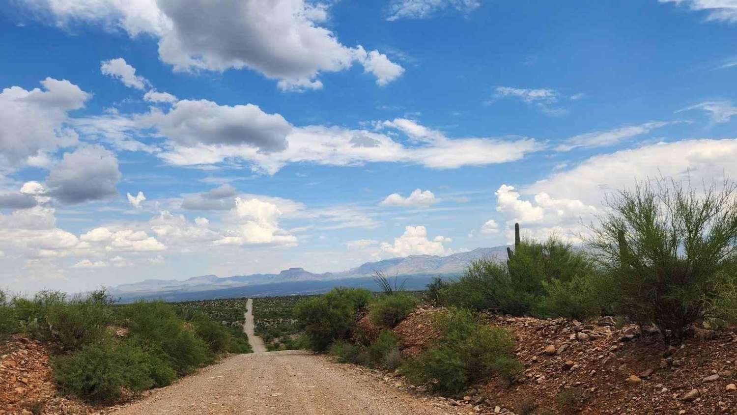
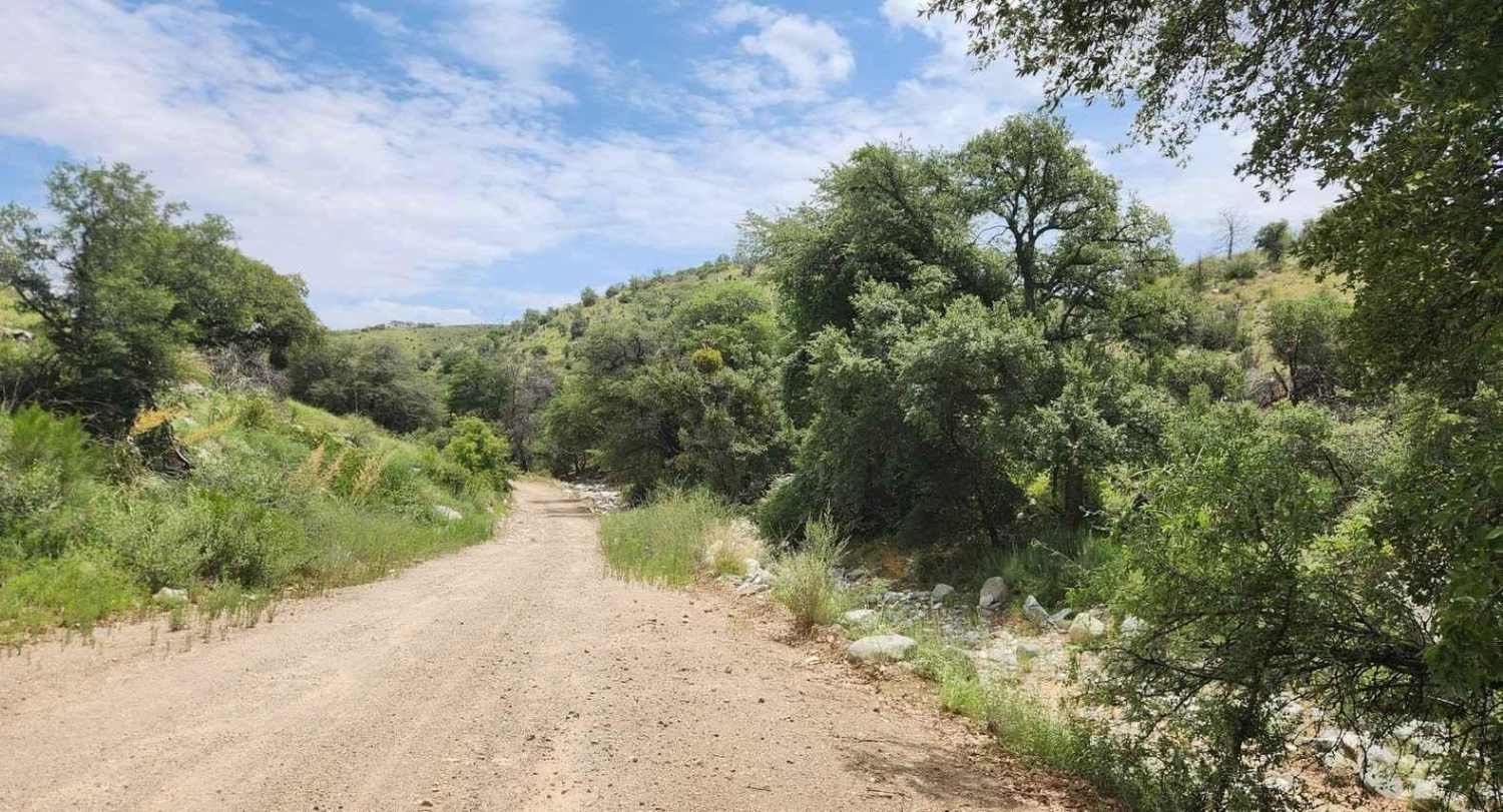
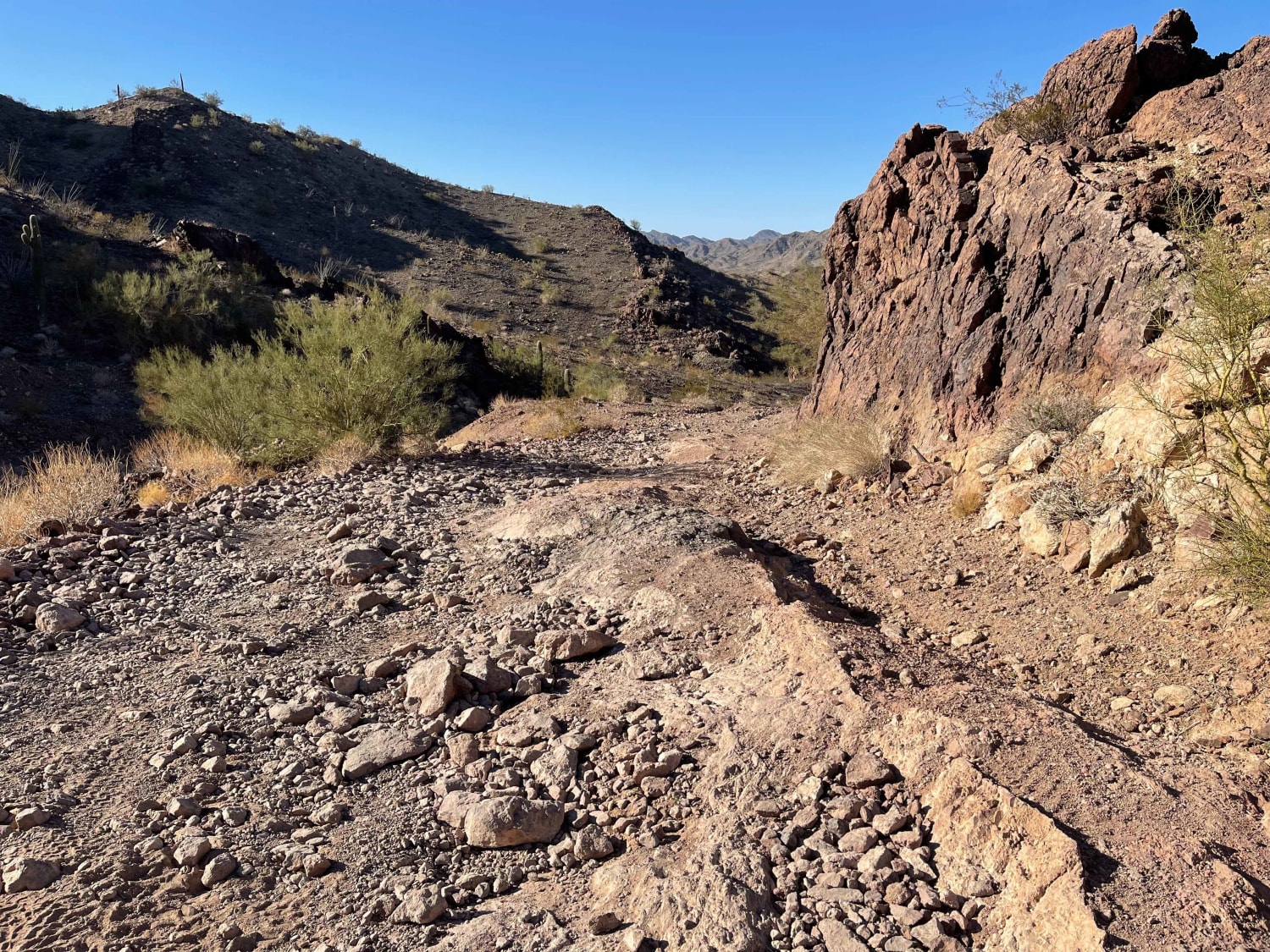
Trail Overview
If you love breathtaking scenery, driving through saguaro forests, and adventurous off-road experiences, the Continental Copper Access route is perfect for you! This road starts around two-thirds up the mountainside, beginning at the Mount Lemmon Control Road trail, and descends almost entirely to the San Pedro River below. As you journey down, you'll enjoy stunning views of the green riparian area (especially beautiful in season) and the majestic Galiuro Mountains in the distance. There are also a few scenic campsites to relax at the higher elevations. This backcountry road offers a fantastic loop starting from the Mount Lemmon Control Road Trail, running along the San Pedro River bottom, and ending at the Redington Pass Trail. You can embark on a full-day adventure starting from Tucson's valley floor, traveling up the Catalina Highway Scenic Road, and then onto the Backway Mount Lemmon Control Road- 4450- Redington Pass Trail. This trail is closed in winter from December 15 to March 1.
Photos of Continental Copper Access
Difficulty
The road is well-maintained, descending from 4700' to 2900'. While the road narrows in some areas, it generally winds down a ridge from the start until it reaches the paved Veterans Boulevard south of San Manuel, AZ. Towards the end, the road widens to over 100' and becomes very smooth, allowing for higher speeds. Keep an eye out for some deep sand near the bottom of the Geesaman Wash by the large switchback.
Continental Copper Access can be accessed by the following ride types:
- High-Clearance 4x4
- SUV
- SxS (60")
- ATV (50")
- Dirt Bike
Continental Copper Access Map
Popular Trails

Beale's Wagon Road
AZPT Preacher Pass Cutover Back to Main Trail

Pigeon Canyon Road-BLM1002
The onX Offroad Difference
onX Offroad combines trail photos, descriptions, difficulty ratings, width restrictions, seasonality, and more in a user-friendly interface. Available on all devices, with offline access and full compatibility with CarPlay and Android Auto. Discover what you’re missing today!