Coyote Mine Road
Total Miles
4.4
Technical Rating
Best Time
Spring, Winter
Trail Type
High-Clearance 4x4 Trail
Accessible By
Trail Overview
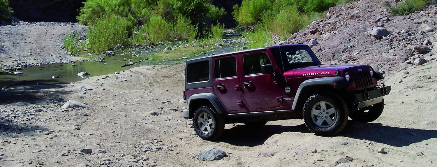
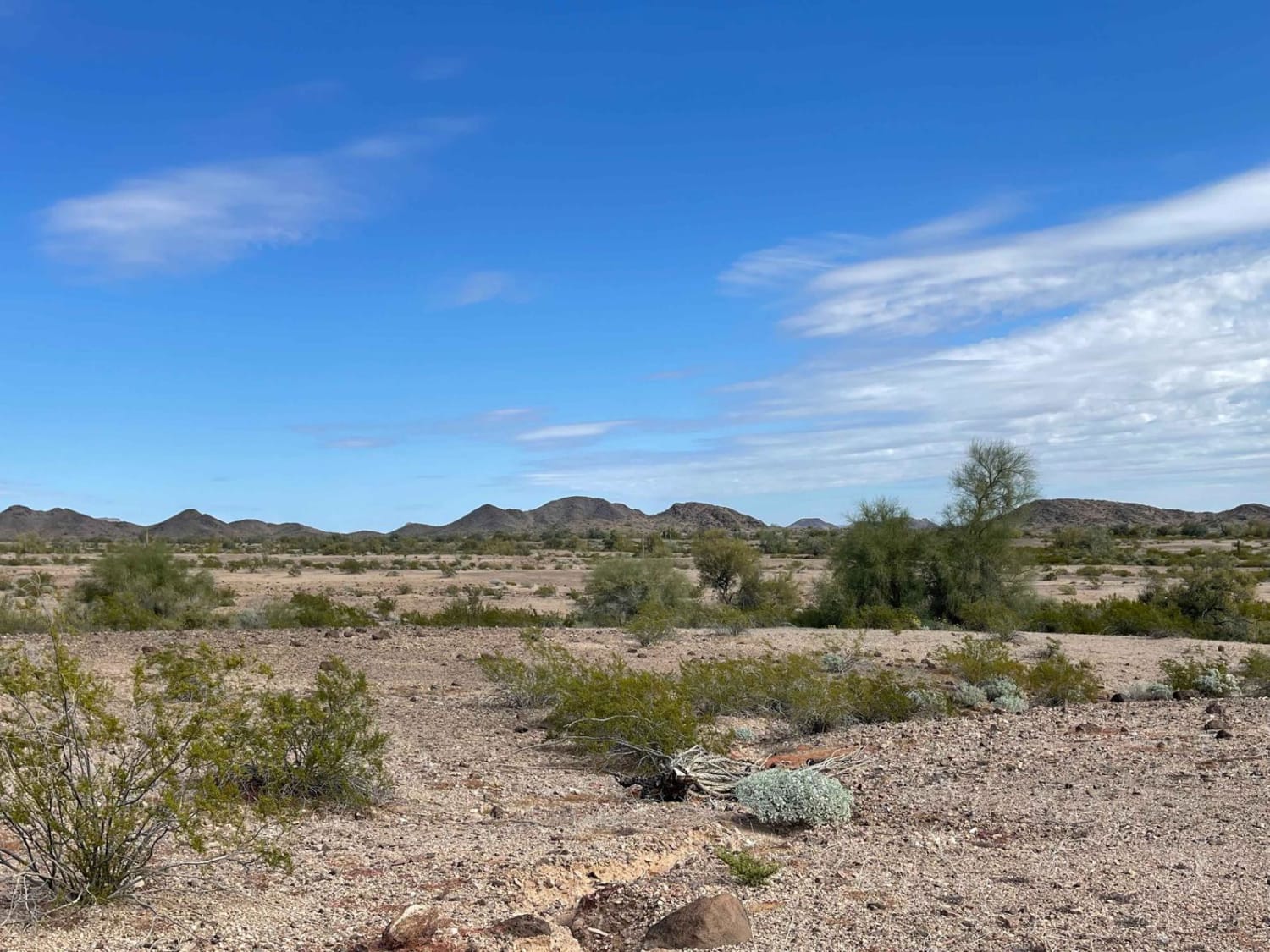
The maps show that the Coyote Mine is also by this road. However, no evidence of the actual mine could be found upon exploration. But with a fun side spur, one can explore the Golden Harp Mine trail. This one has a few larger open mine shafts and some areas of artifact piles aka old trash. Please don't remove any of the artifacts. Overall this scenic ride through the desert has a few challenging wash crossings but generally is an excellent run to see roadrunners, quail, and the occasional small herd of deer crossing the nearby mountains. The trail ends at the boundary of the naval bombing range. No trespassing via this route as it's an active range. There is a small side spur right near the boundary with a few flat spots to camp and a decent 5G Verizon cell service to grab messages or download more maps. Be sure to bring lots of water, as this is the desert, and keep an eye on storms, as flash floods could happen at any moment. Narrow with some off-camber flex sections, sandy areas, and paint damage is guaranteed from the creosote close to the trailside.
Photos of Coyote Mine Road
Difficulty
Narrow with some off-camber flex sections, sandy areas, and paint damage is guaranteed from the creosote close to the trailside.
Status Reports
Popular Trails

Box Canyon at Hassayampa River

Boulders ATV

Hieroglyphic Mountains Loop

Bull Ranch Draw
The onX Offroad Difference
onX Offroad combines trail photos, descriptions, difficulty ratings, width restrictions, seasonality, and more in a user-friendly interface. Available on all devices, with offline access and full compatibility with CarPlay and Android Auto. Discover what you’re missing today!


