Dents Exit
Total Miles
3.1
Technical Rating
Best Time
Spring, Summer, Fall, Winter
Trail Type
Full-Width Road
Accessible By
Trail Overview
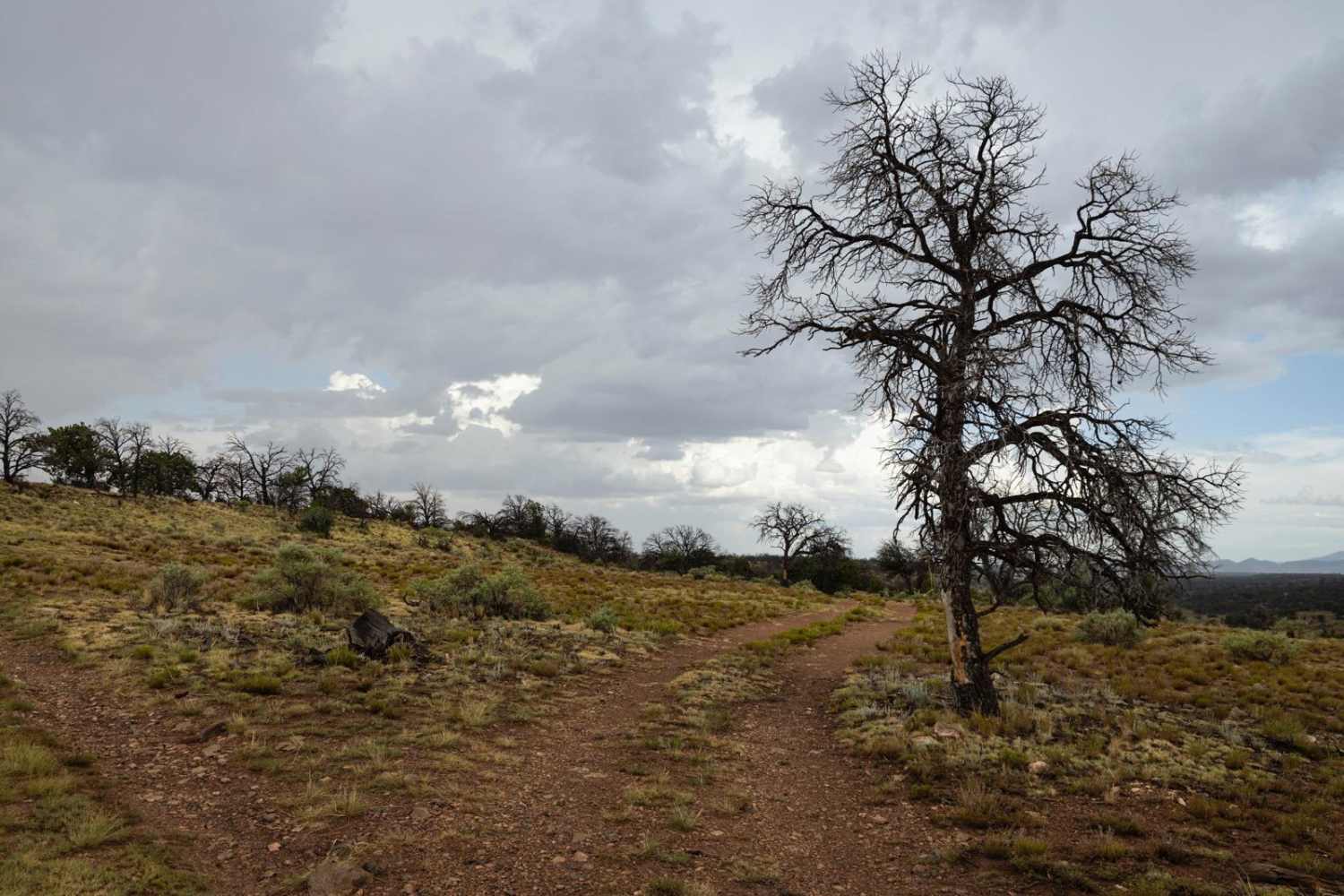
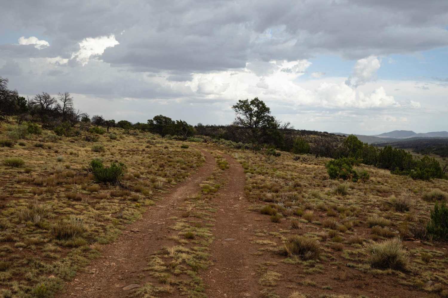
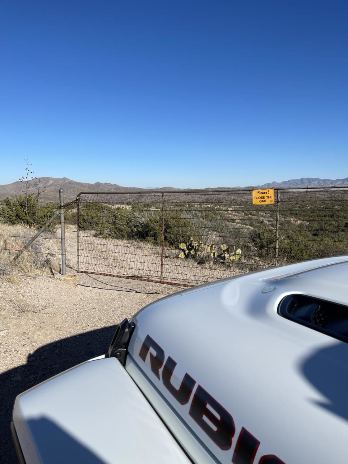
Dents Exit, named for the Sayer and Dent Tanks along this trail, is a dirt trail that heads Eastward toward the Navajo Reservation. It starts on a shelf-type road and turns gently North and East onto a plateau that is speckled with sage and undergrowth. On the plateau, you're fully exposed to the elements as there is not much shelter up there. There are no obstacles along this trail, but there is mud, mud ruts, and puddles, should you visit during monsoon season. There's no cell service in the area, so offline maps would be a good move for exploring this area. The trail culminates at a gate at the Navajo Reservation.
Photos of Dents Exit
Difficulty
This is a one-lane unmaintained dirt and mud trail. There are mud ruts that may become exacerbated during monsoon season or after a moisture event.
Status Reports
Popular Trails
St. Claire OHV Loop

Top Of The World
Rock Butte View Trail
Oak Tree Wash Trail
The onX Offroad Difference
onX Offroad combines trail photos, descriptions, difficulty ratings, width restrictions, seasonality, and more in a user-friendly interface. Available on all devices, with offline access and full compatibility with CarPlay and Android Auto. Discover what you’re missing today!
