Easy Ridge, Hard Canyon
Total Miles
2.3
Elevation
1,422.61 ft
Duration
--
Technical Rating
Best Time
Fall, Spring
Trail Overview
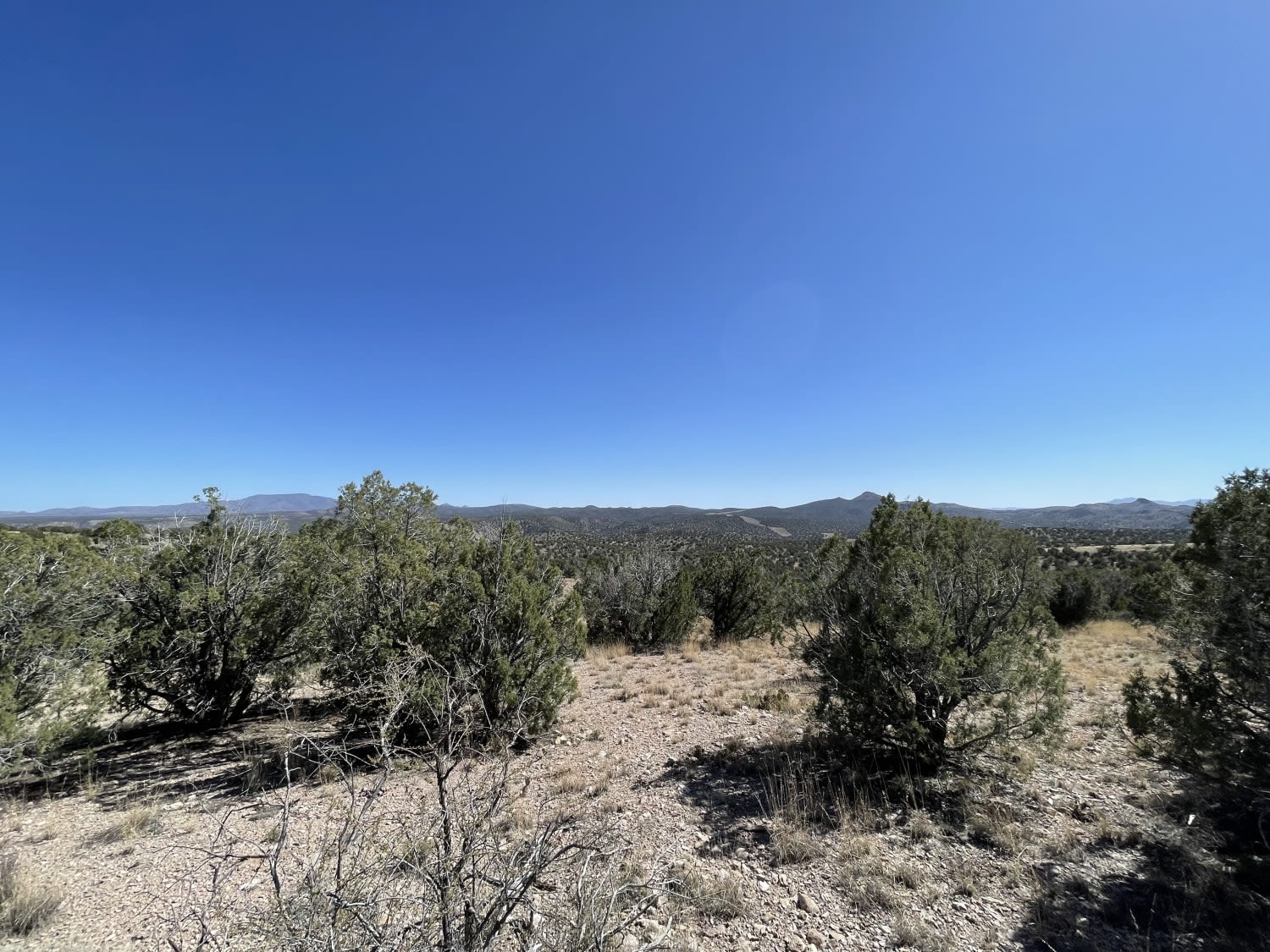
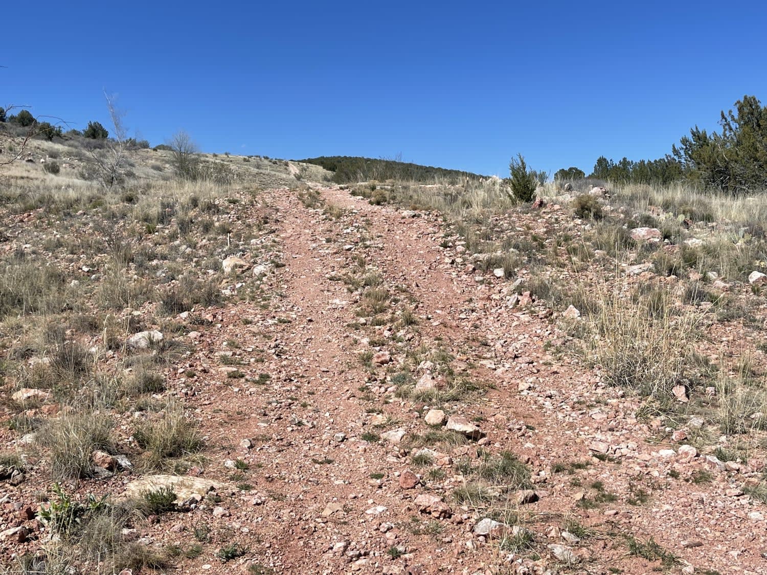
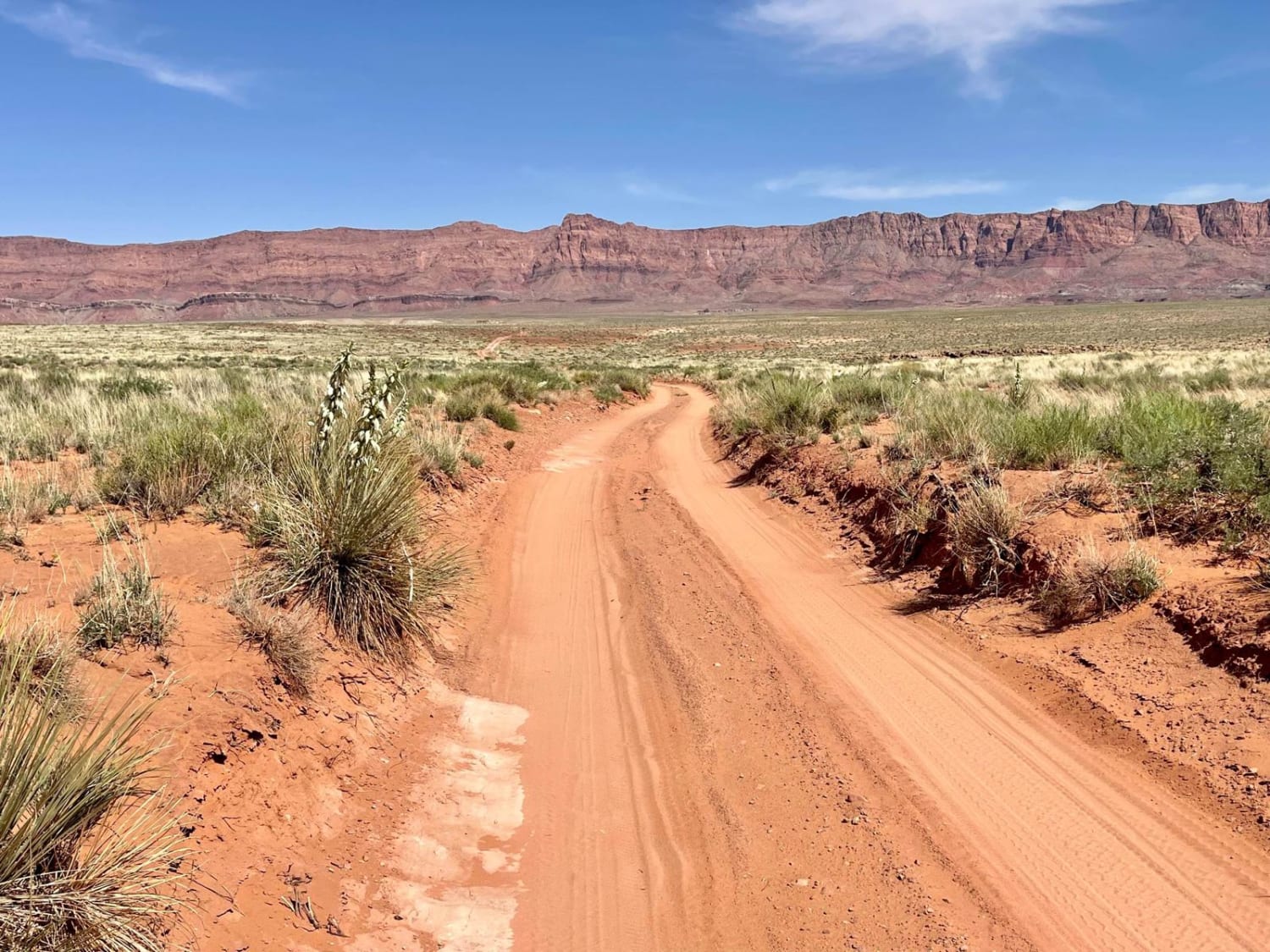
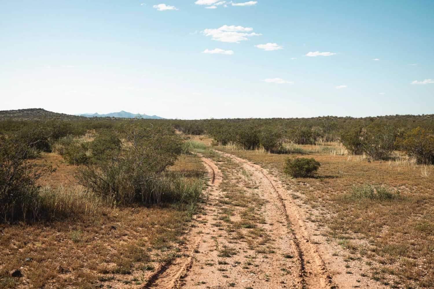
The northern section of this trail from the main route in the area is easy and flat. There are a few dispersed camping spots, but after the second livestock gate, the trail becomes very narrow and off-camber and eventually ends up along the Gas Pipeline Road, featuring very steep loose hill climbs and off-camber sections. One should use extreme caution when traveling this last section after the southernmost livestock gate. There's one bar of LTE cell service that goes in and out.
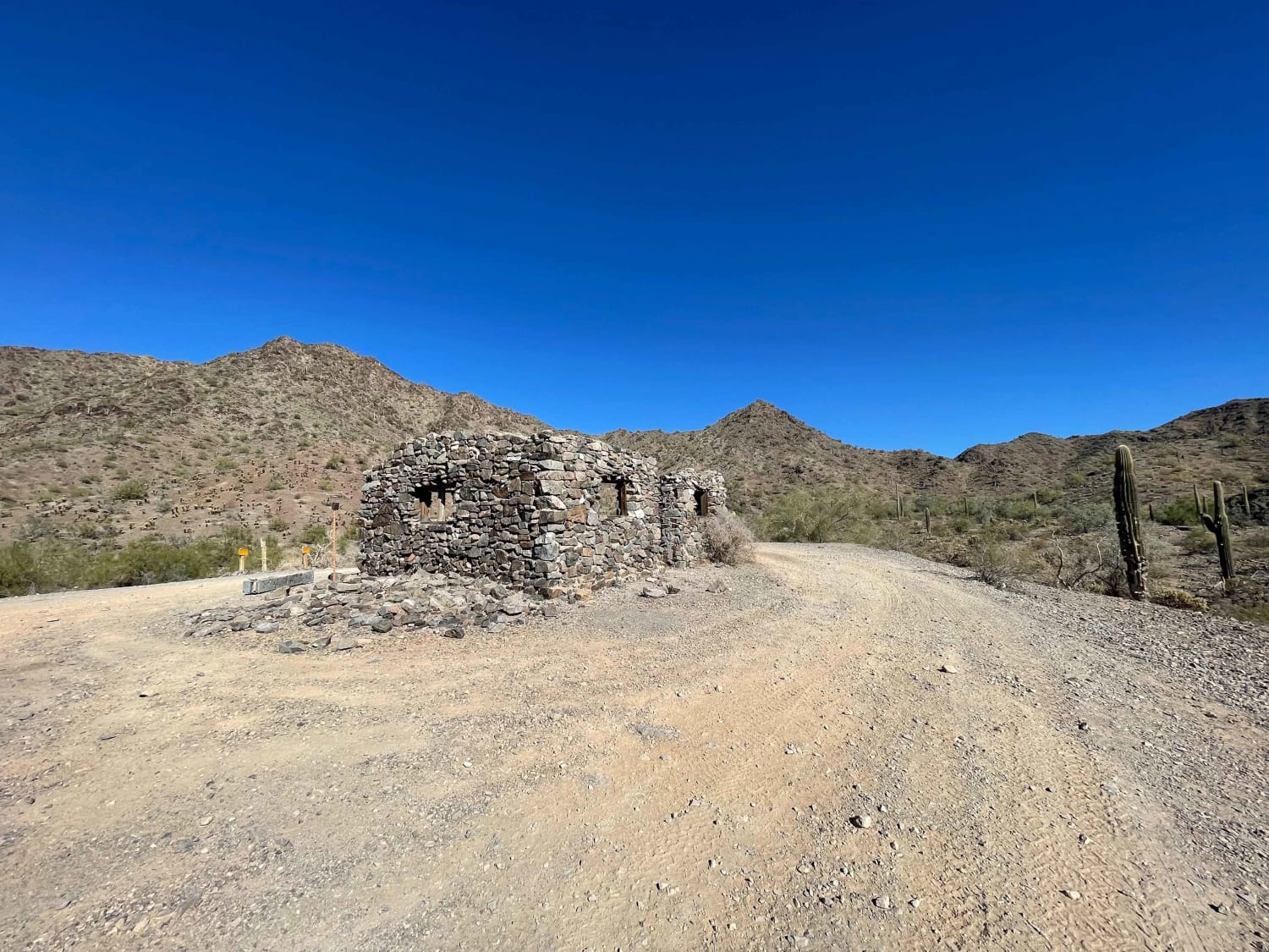
Photos of Easy Ridge, Hard Canyon
Difficulty
The northern section is very easy, but the southern section is narrow and off-camber with steep, long, loose rocky hill climbs. Paint damage is likely.
Status Reports
Popular Trails
Hualapai Foothills
Possum Plus One
Middle Dripping Springs
The onX Offroad Difference
onX Offroad combines trail photos, descriptions, difficulty ratings, width restrictions, seasonality, and more in a user-friendly interface. Available on all devices, with offline access and full compatibility with CarPlay and Android Auto. Discover what you’re missing today!
