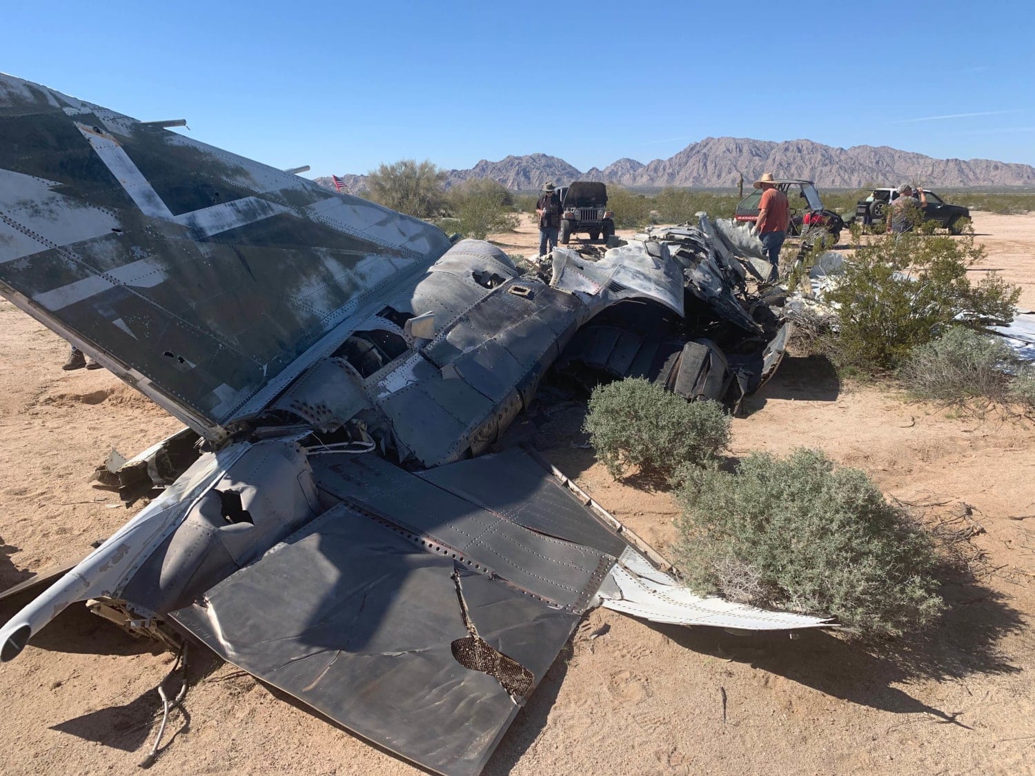
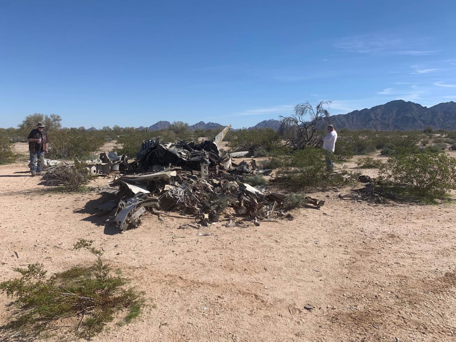
F-4 Phantom Crash Site Spur
Total Miles
6.6
Technical Rating
Best Time
Spring, Summer, Fall, Winter
Trail Type
Full-Width Road
Accessible By
Trail Overview
This is a scenic, sandy, unimproved southwest high desert trail that includes a visit to the US Marine Corps F-4 Phantom II crash site. The Phantom was designed as an all-weather dual-purpose supersonic air superiority fighter interceptor for naval fleet protection against all airborne threats. In its other role as a fighter-bomber, it can be loaded with bombs and rockets and be used in an air-to-ground role for bombing and close air support missions. Ironically, this aircrew and plane suffered the same fate as Maverick and Goose's F-14 Tomcat did in the film--an irrecoverable and deadly flat spin--one of a fighter pilot's worst nightmares. In the film, Goose failed to survive the crash due to an ejection seat malfunction. However, in the case of this mishap, both crewmembers are rumored to have survived. It's interesting to note that in the case of a flat spin crash, the aircraft has very little movement over the ground because it is literally spinning in place over a fixed point on the ground at the time of impact, preserving most of the wreckage in a small area with the aircraft fairly intact as it hits the ground. Flat spin crashes are relatively rare, so being able to view this crash site with the aircraft fairly intact is not a common occurrence. Conversely, in more common high-speed impacts, the aircraft completely disintegrates with parts being spread out for miles.
Photos of F-4 Phantom Crash Site Spur
Difficulty
This is a dirt or rocky road with gentle grades. It's safe for most 4WD and high-clearance 2WD vehicles. These roads are typically two vehicles wide.
History
It appears that this crash occurred between the late 70s and mid 80s.
Status Reports
F-4 Phantom Crash Site Spur can be accessed by the following ride types:
- High-Clearance 4x4
- SUV
- SxS (60")
- ATV (50")
- Dirt Bike
F-4 Phantom Crash Site Spur Map
Popular Trails
Soldier Pass
Shoemaker Spring Access Trail
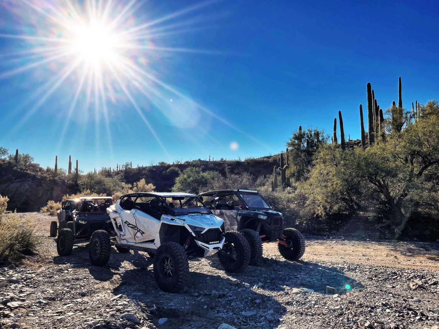
Axle Alley Loop
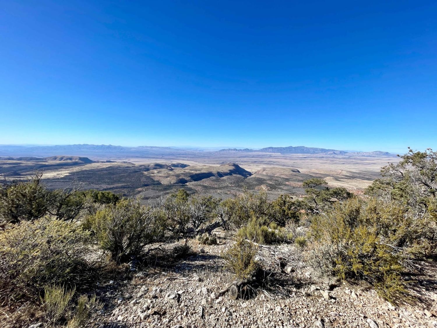
1071K Last Chance Lookout
The onX Offroad Difference
onX Offroad combines trail photos, descriptions, difficulty ratings, width restrictions, seasonality, and more in a user-friendly interface. Available on all devices, with offline access and full compatibility with CarPlay and Android Auto. Discover what you’re missing today!
