Ferry Swale Road
Total Miles
1.4
Technical Rating
Best Time
Spring, Winter, Fall
Trail Type
Full-Width Road
Accessible By
Trail Overview
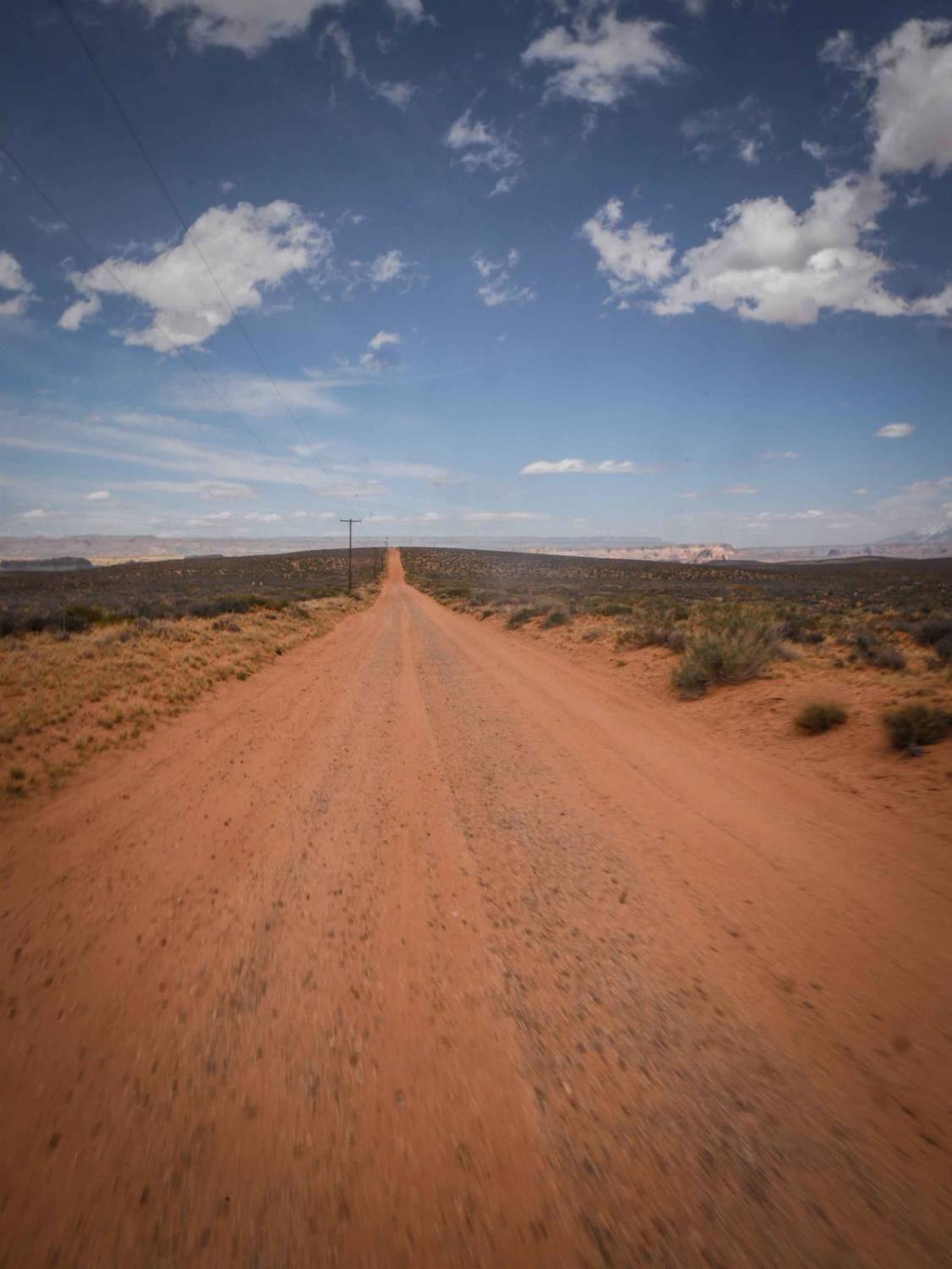
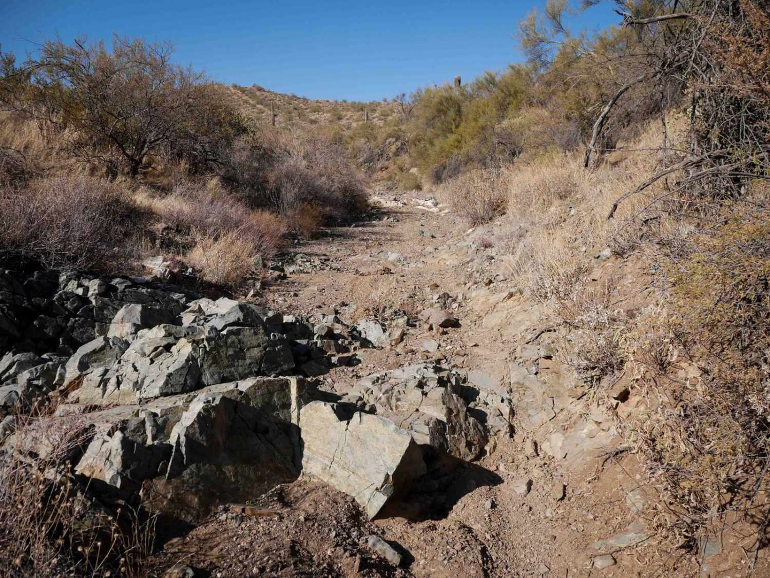
Ferry Swale Road is accessed from Greenehaven Drive off of Highway 89, north of Page, Arizona. Going south from the highway on Greenehaven Drive, go past the concrete platform and through the gate, turn left on the graded road, then take an immediate right onto the dirt Ferry Swale Road. This will take you 1.4 miles to the intersection with 1098 and accesses all of the powerline roads and ORV trails in the area. It's a wide graded road next to powerlines that is really easy, on smooth gravel, flat, and has no rocks or obstacles. It's a bit bumpy from the washboard surface. This is one way to get into Stud Horse Point, which is a fun place to hike around to see the hoodoo rock formations. The majority of this trail is in the Ferry Swale area of the Glen Canyon National Recreation Area, which states that this road is only open to conventional vehicles, OHVs, and street-legal ATVs/dirt bikes. This road is not part of the area that requires the permit system that is still in development. It's called Seismograph Road on the National Park Service Map.
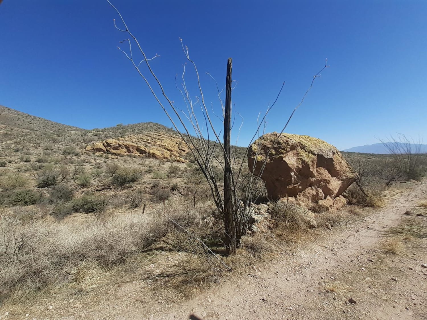
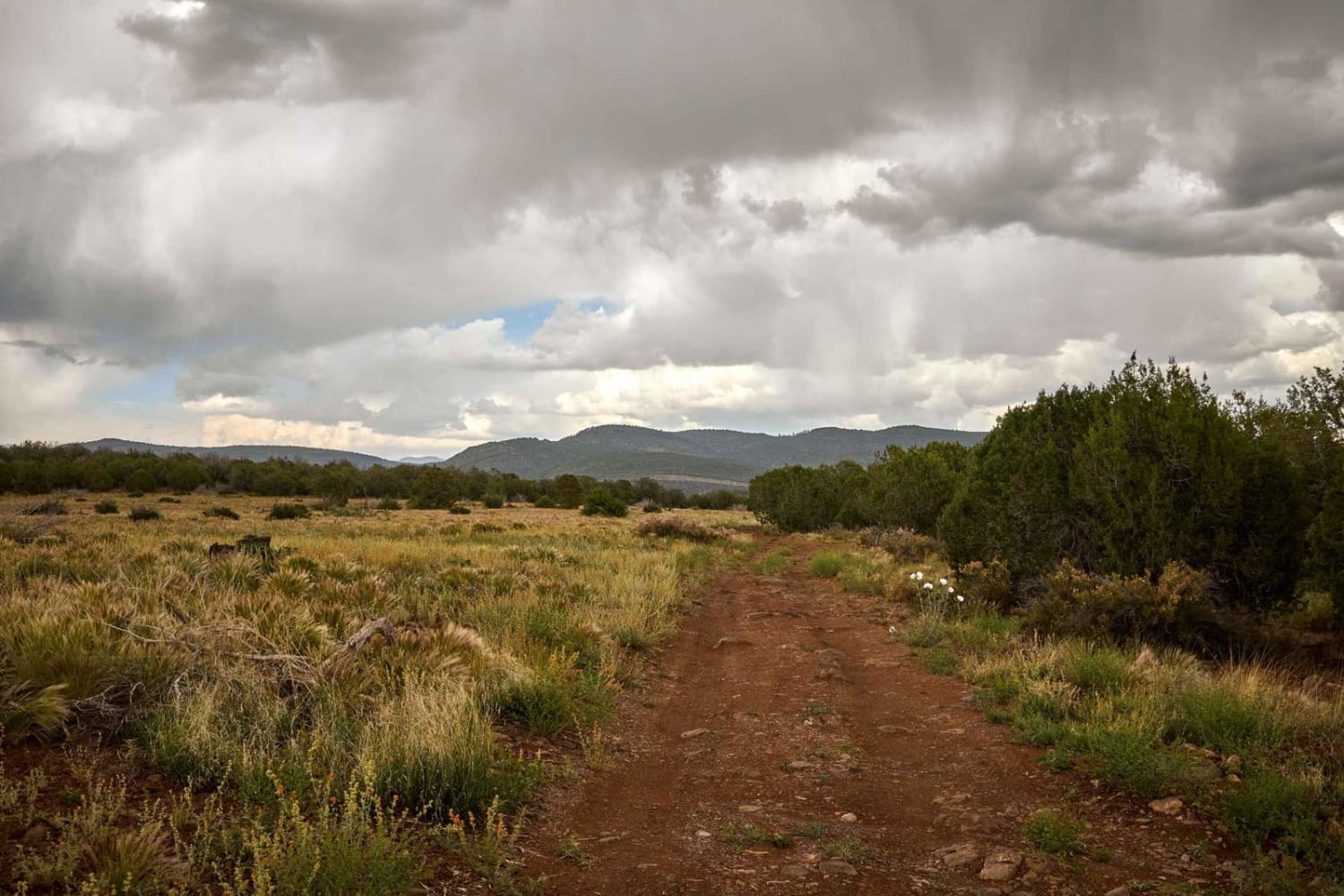
Photos of Ferry Swale Road

Difficulty
This is an easy graded road with no obstacles.
Status Reports

Popular Trails
Horseshoe tank trail
Elk Ridge to Matterhorn
The onX Offroad Difference
onX Offroad combines trail photos, descriptions, difficulty ratings, width restrictions, seasonality, and more in a user-friendly interface. Available on all devices, with offline access and full compatibility with CarPlay and Android Auto. Discover what you’re missing today!