FR-211P
Total Miles
2.1
Technical Rating
Best Time
Spring, Summer, Fall
Trail Type
High-Clearance 4x4 Trail
Accessible By
Trail Overview
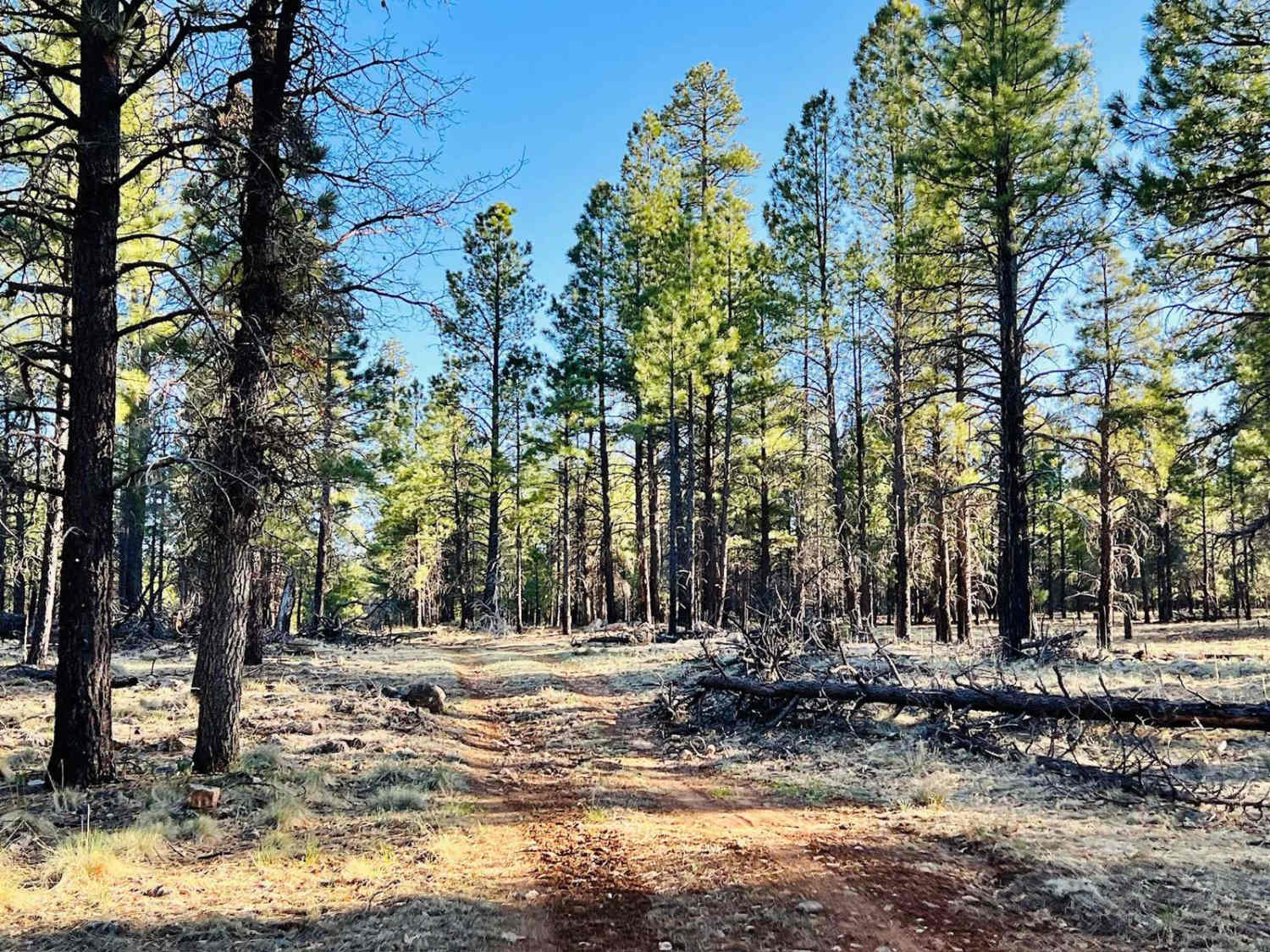
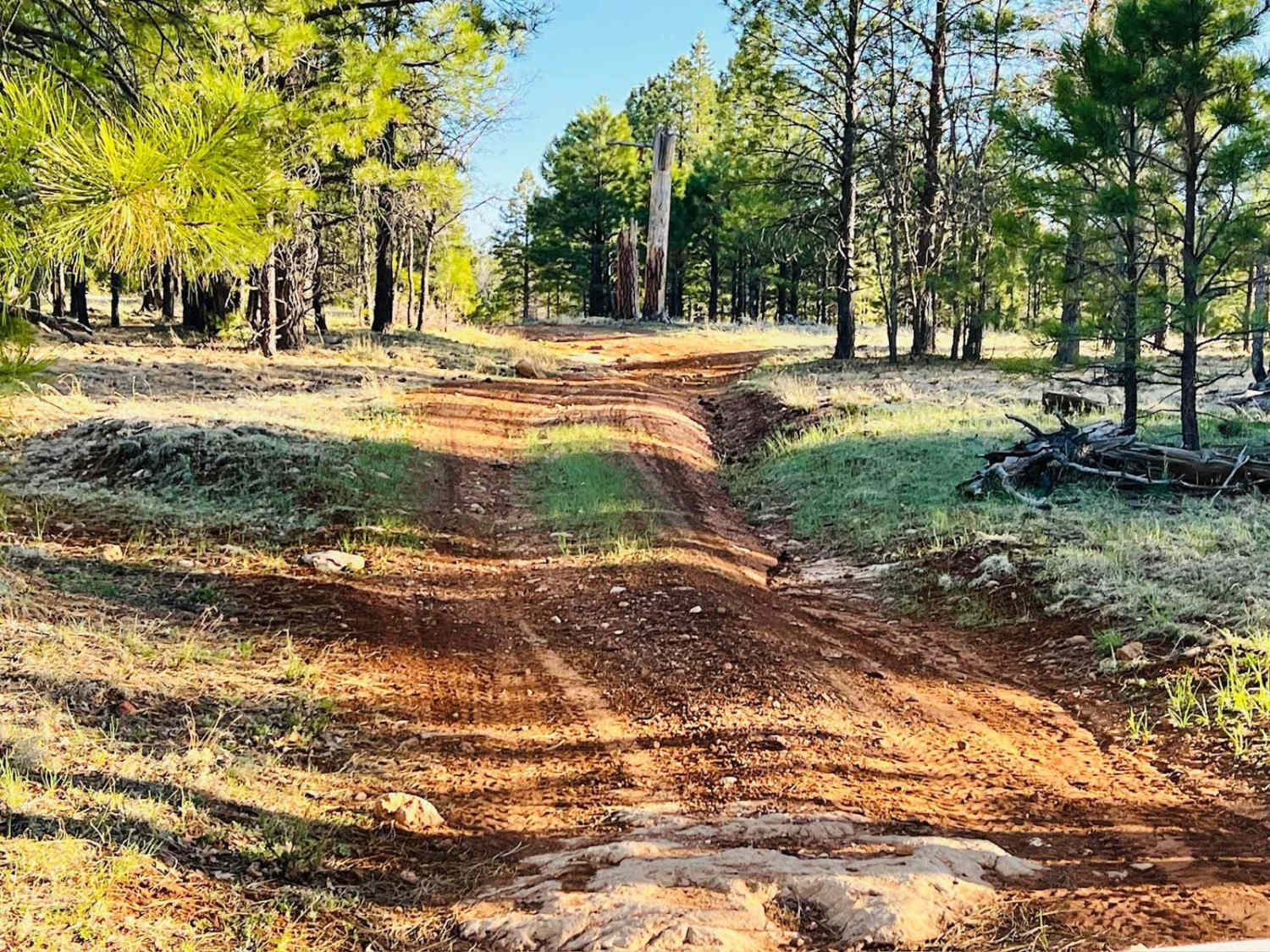
This is a fun, shorter trail if you are camping off FR211G at the top, where there are beautiful campsites. Connect up to this trail and take it down to the Lost Eden trail. It pops out very close to where you can pick up the Long Lake Trail and head to the lake. This trail is narrower, with several narrow tree sections and some ruts and rocks. At the top of the hill, close to the campsites, the trail is rockier and a little slower going. It opens up further down the trail, allowing for faster travel. There are a couple of campsites along this route tucked into the trees. They are small and can be hard to spot. Wildlife is abundant in this area, so keep your eyes peeled. Be aware that cell service is spotty at best out here.
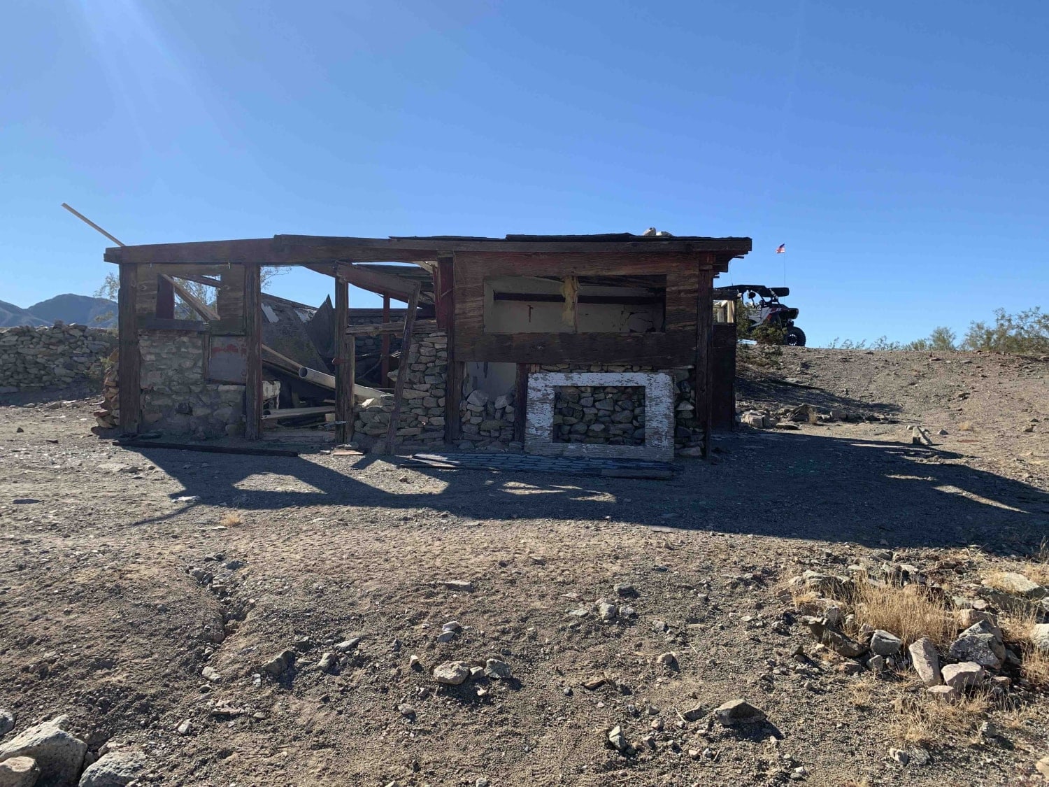
Photos of FR-211P
Difficulty
This trail is narrow and only one car wide. Some narrow sections through trees could scratch wider, larger vehicles. There are also some sections with rocks. There is a rocky section as it gains elevation that is bumpier.
History
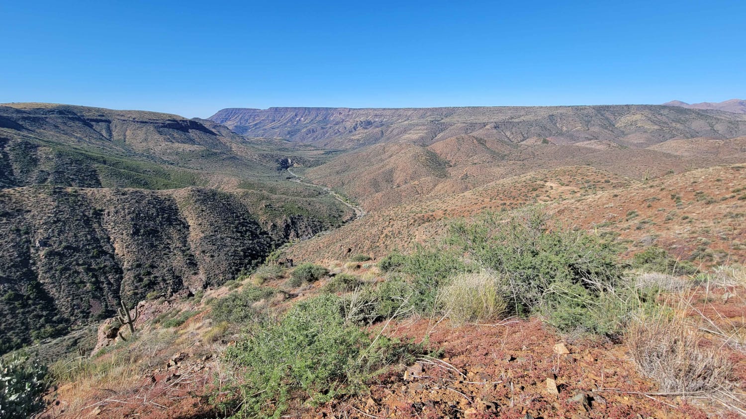
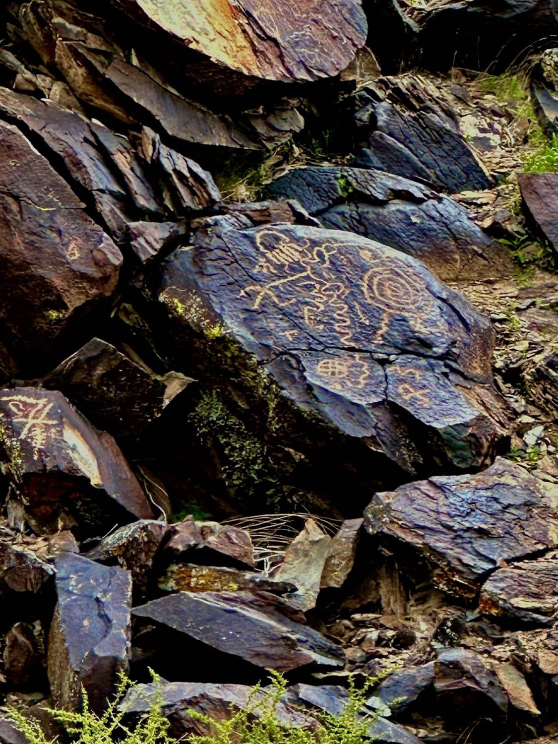
The Mogollon Rim is a rugged escarpment that forms the southern limit of the Colorado Plateau. It extends across the entire forest, approximately 200 miles in total, and provides excellent views within plateau country and desert canyon country as well. Dropping as much as 2,000 feet in some areas, the Rim offers some of the most far-reaching scenery in Arizona. Views stretch from its rocky precipice to Four Peaks of the Mazatzals northeast of Phoenix. Sightseeing is a favorite activity along the Rim. Still, this forest area also boasts a historic system of hiking and horseback trails, a couple of picturesque lakes for boating and fishing, and backcountry skiing for wilderness adventurers. The Mogollon Rim is a topographical and geological feature cutting across the northern half of Arizona. It extends diagonally approximately 200 miles, starting in northern Yavapai County and running eastward, ending near the New Mexico border. It forms the southern edge of the Colorado Plateau in Arizona. The Rim is an escarpment defining the southwestern edge of the Colorado Plateau. Its central and most spectacular portions are characterized by high cliffs of limestone and sand, namely the Kaibab limestone and Coconino sandstone cliffs. This escarpment was created by erosion, faulting, and cutting dramatic canyons into it, including the Fossil Creek Canyon and Pine Canyon. The name Mogollon comes from Don Juan Ignacio Flores Mogollon, the Spanish governor of New Mexico from 1712 to 1715. The Mogollon Rim's limestones and sandstones were formed from sediments deposited in the Carboniferous and Permian Periods. Several of the Rim's rock formations are also seen on the walls of the Grand Canyon. The extensive basaltic lava flows cap or even bury the Rim in many places. Be sure to keep your eyes peeled for the endangered Mexican spotted owl. Other wildlife present on the Rim will be herds of elk and deer. You may see black bears, mountain lions, and even the occasional red-tailed hawk or peregrine falcon. There are also coyotes, horned toads, and rattlesnakes. This area frequently has fire restrictions early in the season. Be sure to contact the local ranger station for information about the current campfire restrictions. Or, at the minimum, check the Coconino Fire webpage. https://www.coconino.az.gov/2595/Fire-Restriction-Information
Status Reports

Popular Trails
Cramm Mountain Loop

Sycamore Tank
Cohenour Loop
Cruikshank Cabin Spur
The onX Offroad Difference
onX Offroad combines trail photos, descriptions, difficulty ratings, width restrictions, seasonality, and more in a user-friendly interface. Available on all devices, with offline access and full compatibility with CarPlay and Android Auto. Discover what you’re missing today!