FR-9403E
Total Miles
2.0
Elevation
2,097.31 ft
Duration
0.5 Hours
Technical Rating
Best Time
Spring, Summer, Fall
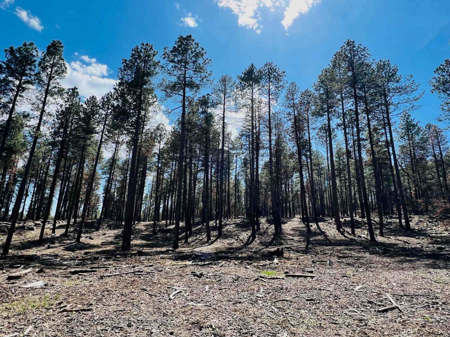
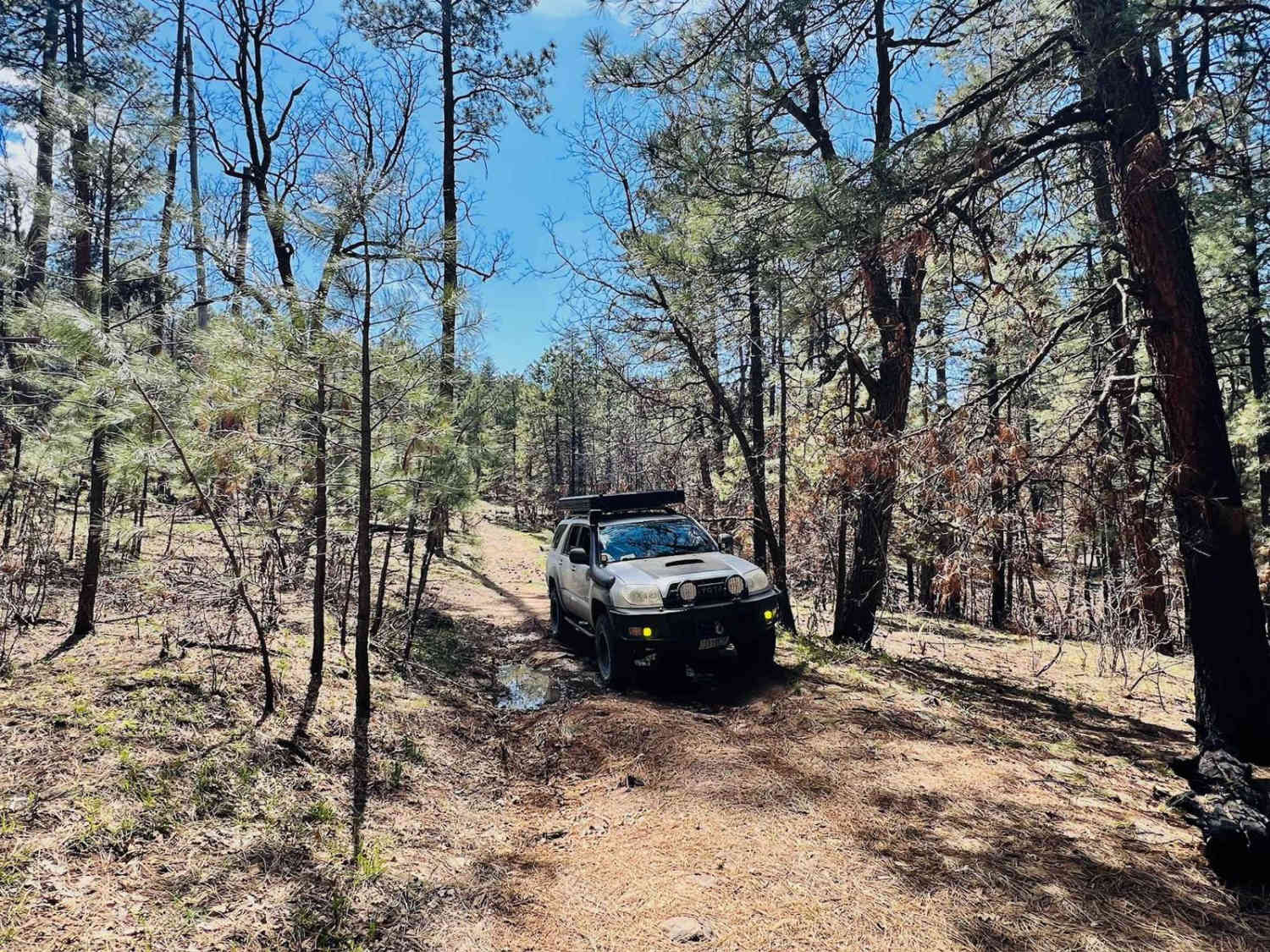
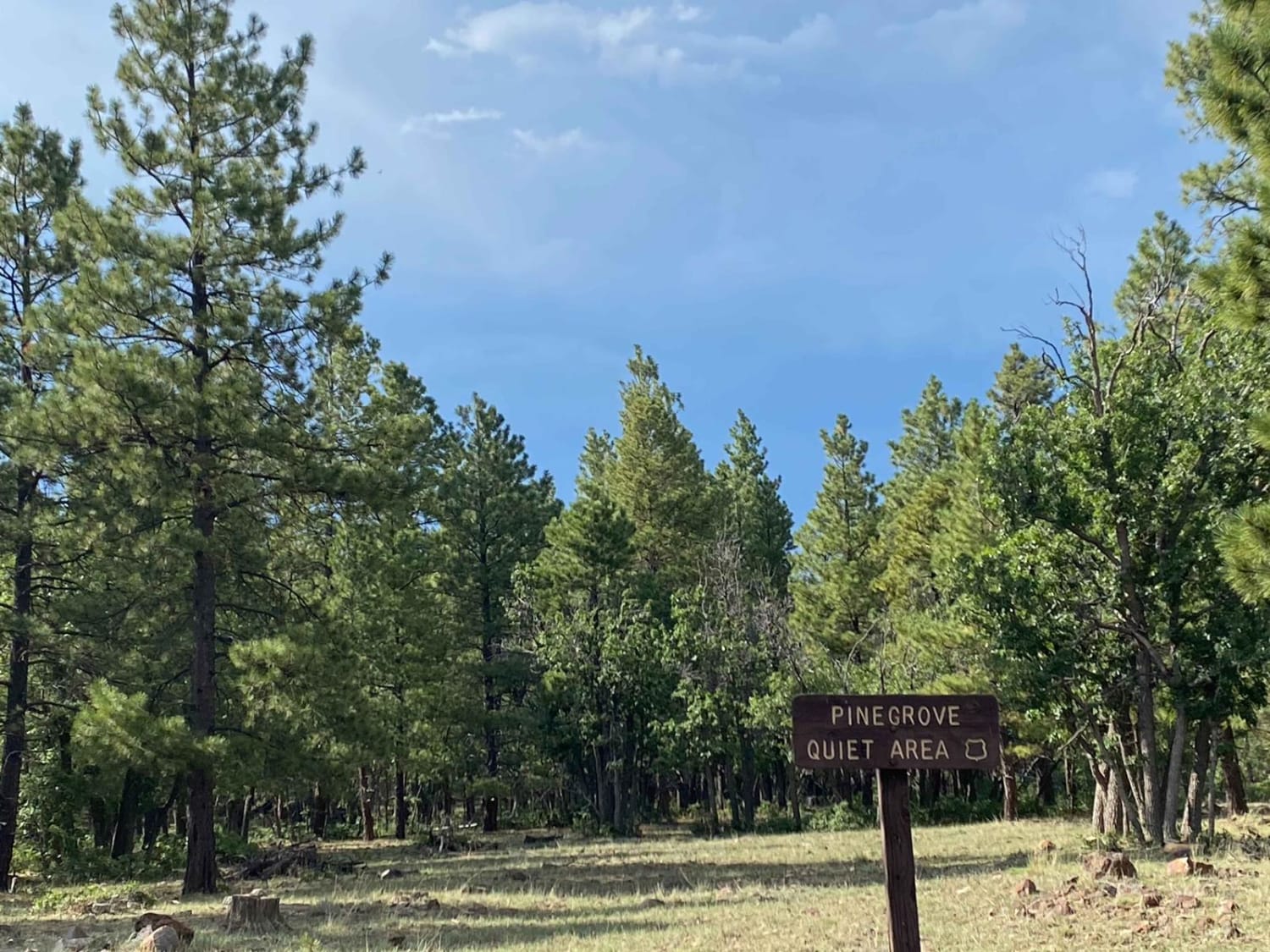
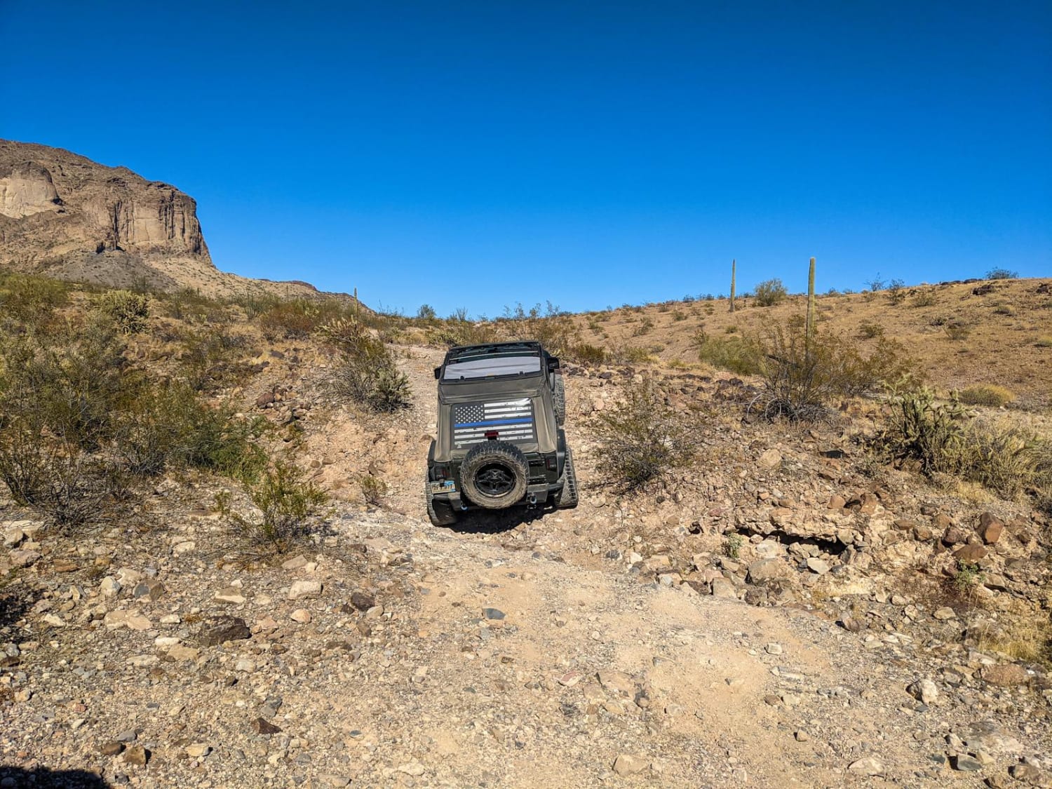
Trail Overview
This cutover route connects to the main graded trails. The trail begins nice and easy from the north with just a few rocks and progresses into a rock garden around the animal water tank. Beyond the tank, the trail mellows out again. It has a few short out-and-back spur trails off of it that are most likely for hunting access or possibly a nice secluded camp spot. There's one large flat dispersed campsite where the trail connects with the main road, Hucks/Duncan. This area has seen quite a few prescribed fire burns. Trees could be across the trail and need clearing. Bring a hand saw. There is one useless bar of Verizon LTE that fades in and out. It's a good practice to download your offline maps before exploring remote areas like this.
Photos of FR-9403E
Difficulty
This is a narrow forest trail with some downed trees and narrow sections to navigate. A bumpy rock garden is in the center near the water tank. Depending on the season, there can also be some deep mud holes and ruts.
History
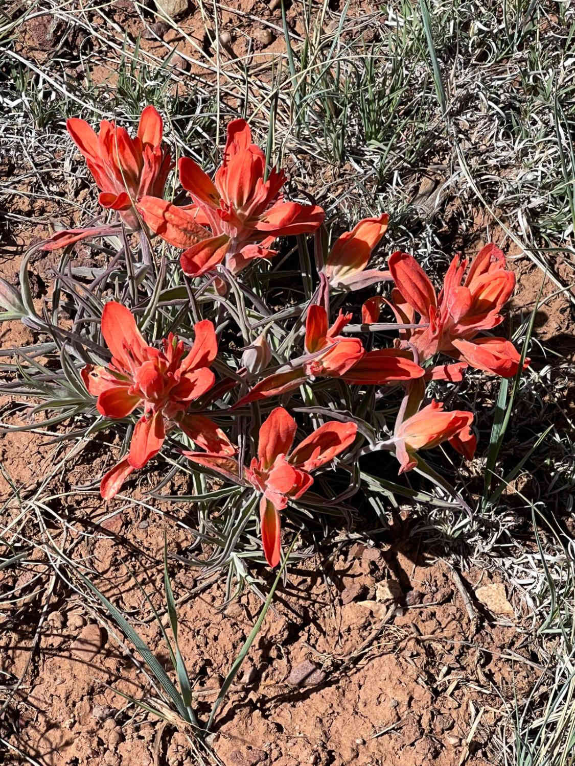
The Mogollon Rim is a rugged escarpment that forms the southern limit of the Colorado Plateau. It extends across the entire forest, approximately 200 miles in total, and provides excellent views within plateau country and desert canyon country as well. Dropping as much as 2,000 feet in some areas, the Rim offers some of the most far-reaching scenery in Arizona. Views stretch from its rocky precipice to Four Peaks of the Mazatzals northeast of Phoenix. Sightseeing is a favorite activity along the Rim. Still, this forest area also boasts a historic system of hiking and horseback trails, a couple of picturesque lakes for boating and fishing, and backcountry skiing for wilderness adventurers. The Mogollon Rim is a topographical and geological feature cutting across the northern half of Arizona. It extends diagonally approximately 200 miles, starting in northern Yavapai County and running eastward, ending near the New Mexico border. It forms the southern edge of the Colorado Plateau in Arizona. The Rim is an escarpment defining the southwestern edge of the Colorado Plateau. Its central and most spectacular portions are characterized by high cliffs of limestone and sand, namely the Kaibab limestone and Coconino sandstone cliffs. This escarpment was created by erosion, faulting, and cutting dramatic canyons into it, including the Fossil Creek Canyon and Pine Canyon. The name Mogollon comes from Don Juan Ignacio Flores Mogollon, the Spanish governor of New Mexico from 1712 to 1715. The Mogollon Rim's limestones and sandstones were formed from sediments deposited in the Carboniferous and Permian Periods. Several of the Rim's rock formations are also seen on the walls of the Grand Canyon. The extensive basaltic lava flows cap or even bury the Rim in many places. Be sure to keep your eyes peeled for the endangered Mexican spotted owl. Other wildlife present on the Rim will be herds of elk and deer. You may see black bears, mountain lions, and even the occasional red-tailed hawk or peregrine falcon. There are also coyotes, horned toads, and rattlesnakes. This area frequently has fire restrictions early in the season. Be sure to contact the local ranger station for information about the current campfire restrictions. Or, at the minimum, check the Coconino Fire webpage. https://www.coconino.az.gov/2595/Fire-Restriction-Information
Status Reports
Popular Trails
Hunt Tank Shortcut
Sidewinder Trail
Saddle Mountain Loop
The onX Offroad Difference
onX Offroad combines trail photos, descriptions, difficulty ratings, width restrictions, seasonality, and more in a user-friendly interface. Available on all devices, with offline access and full compatibility with CarPlay and Android Auto. Discover what you’re missing today!