Fresnal Road
Total Miles
6.8
Technical Rating
Best Time
Spring, Winter, Fall
Trail Type
Full-Width Road
Accessible By
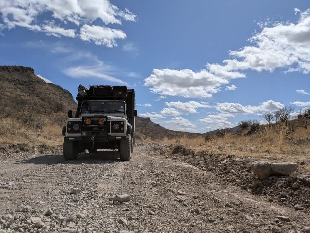
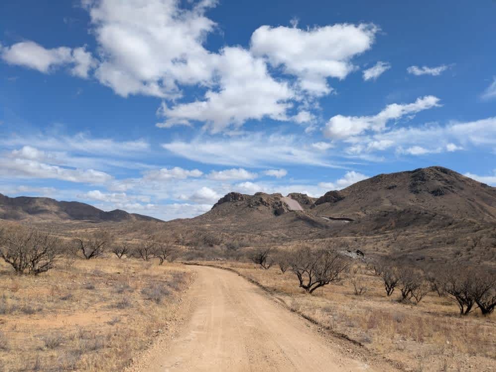
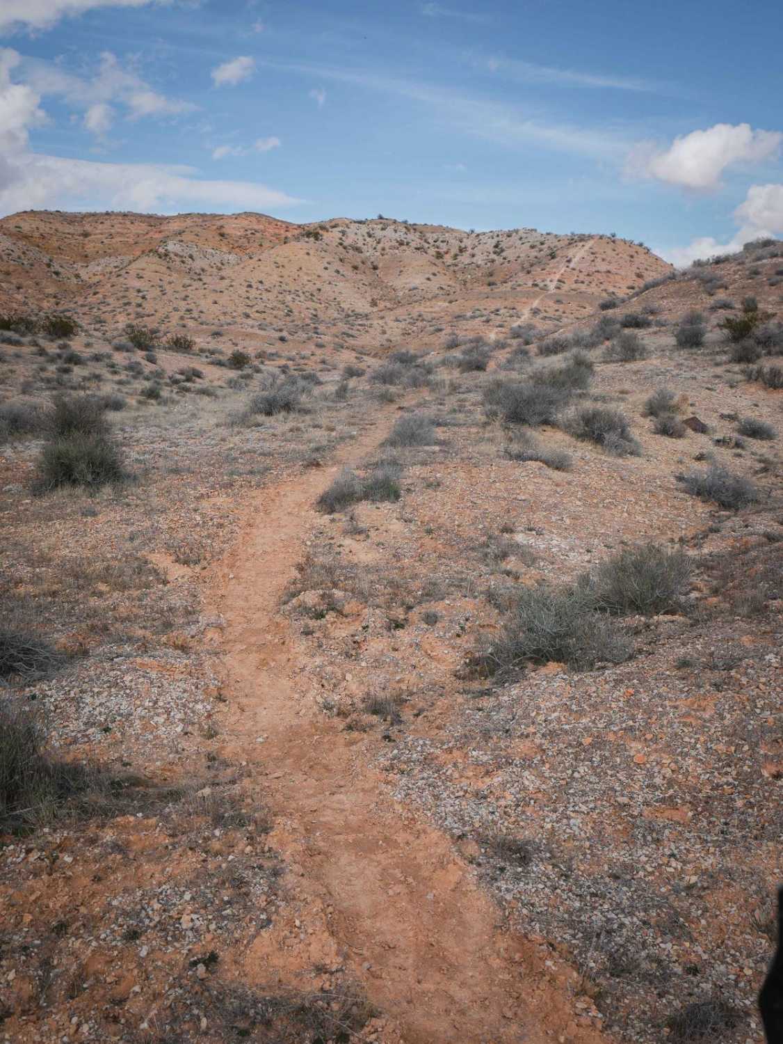
Trail Overview
Fresnal Road follows the border as it enters Coronado National Park, where border security is ever present, patrolling the area near the wall. Much of the road winds through the valley, following a series of rocky washes, making it a moderately challenging route that is not recommended during the rainy season. The terrain consists of rocky paths with steep inclines and declines, requiring careful navigation. Cattle guards are scattered along the route due to the presence of a working ranch in the valley. As the trail climbs out of the valley, a steep gravel road leads back toward the main route to Arivaca. From the top of the hill, the views are spectacular, offering a sweeping panorama of the border and the surrounding wildlife refuge. The trail lacks amenities such as trash disposal, water supply, and there is cell service.
Photos of Fresnal Road
Difficulty
Easy dirt road but becomes more adventurous heading north. Not recommended during the rainy season.
Fresnal Road can be accessed by the following ride types:
- High-Clearance 4x4
- SUV
- SxS (60")
- ATV (50")
- Dirt Bike
Fresnal Road Map
Popular Trails
Little Badger Canyon
Rolls OHV Area, East Side

Entrance Trail to the Tonto National Forest Desert Vista OHV
Dutchman to Powerline Single Track
The onX Offroad Difference
onX Offroad combines trail photos, descriptions, difficulty ratings, width restrictions, seasonality, and more in a user-friendly interface. Available on all devices, with offline access and full compatibility with CarPlay and Android Auto. Discover what you’re missing today!