FS 80, 239, & 765
Total Miles
11.4
Technical Rating
Best Time
Spring, Summer, Fall
Trail Type
Full-Width Road
Accessible By
Trail Overview
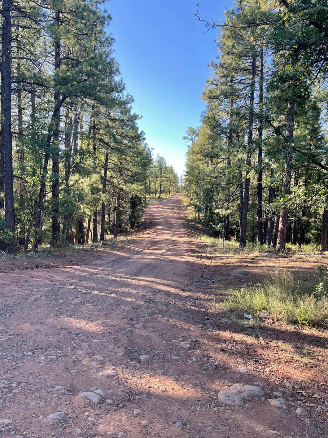
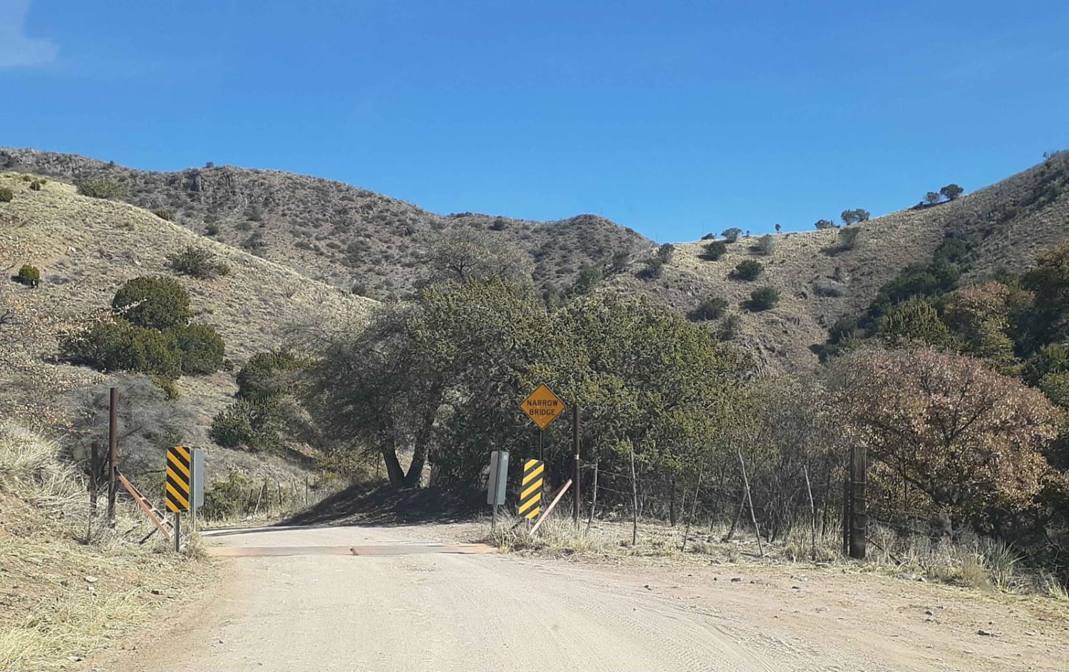
This trail consists of three different forest service roads which are 80, 239, and 765. All of these roads combined make for a nice lengthy ride/drive through the Coconino National Forest. The trail starts right off the I-17 on Forest Road 80. There is a group of large ruts as you first begin to travel this road. These same type of ruts will continue off and on as you travel down FS 80. The trail then turns to the East and follows Forest Road 239. As you traverse the FS 239 section of the trail, the trail's surface is primarily dirt with some small rocky areas along the way. Along this middle section of the trail, is some small ruts from water erosion. The trail then continues on Forest Service 765. This last section of the trail has somewhat deeper erosion ruts right in the middle of the road. The ruts do not last for long but are worth choosing a good line to get past them. The trail then mellows down to a dirt road with a few uneven rocky areas. The end of this trail is at the junction with Bar M Road guided trail. After traversing this trail, you will have climbed a thousand feet in elevation gain.
Photos of FS 80, 239, & 765
Difficulty
Expect an uneven, rutted, and rocky dirt trail with some potential for some mud holes.
Status Reports
Popular Trails
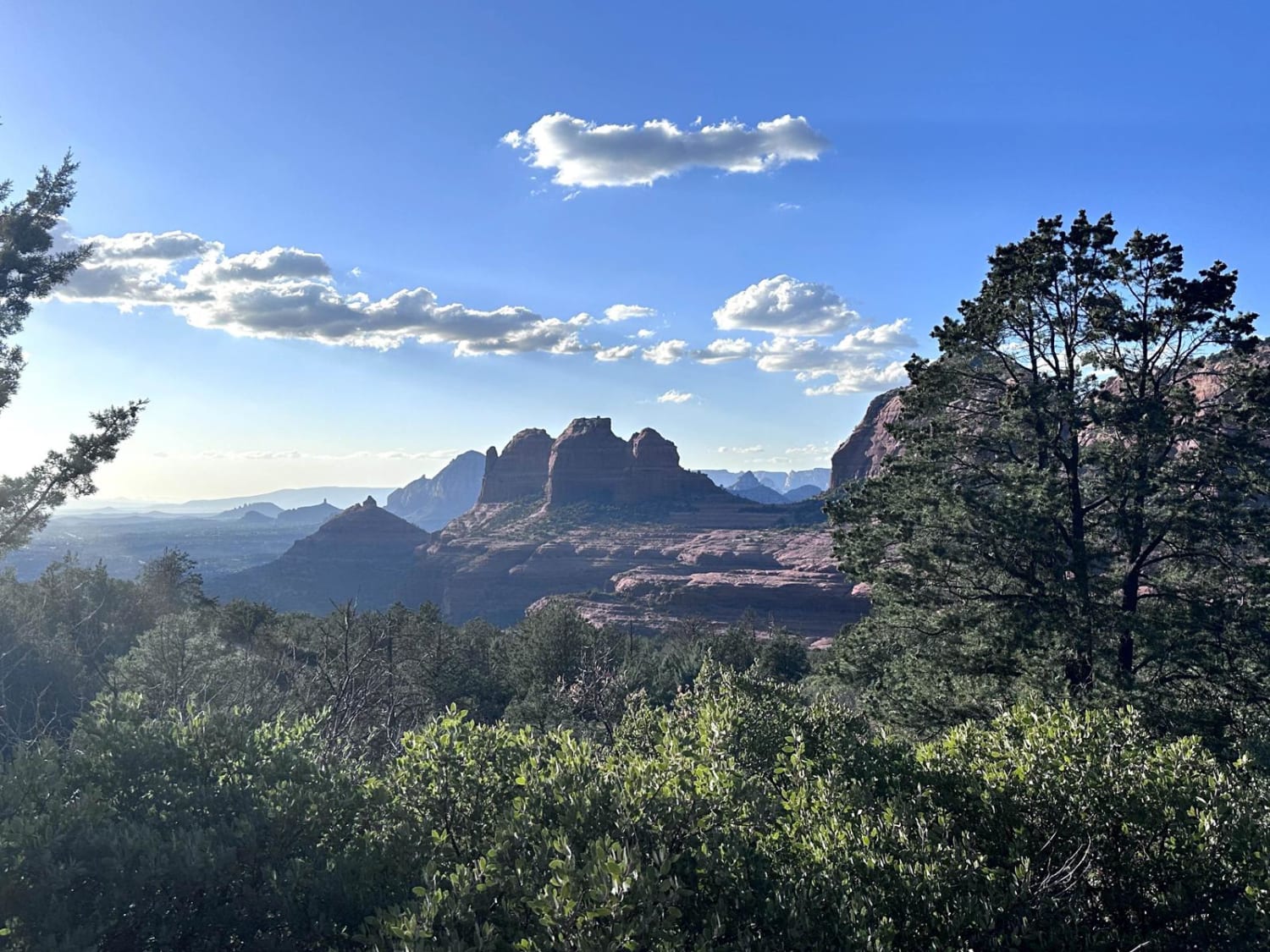
Schnebly Hill Trail
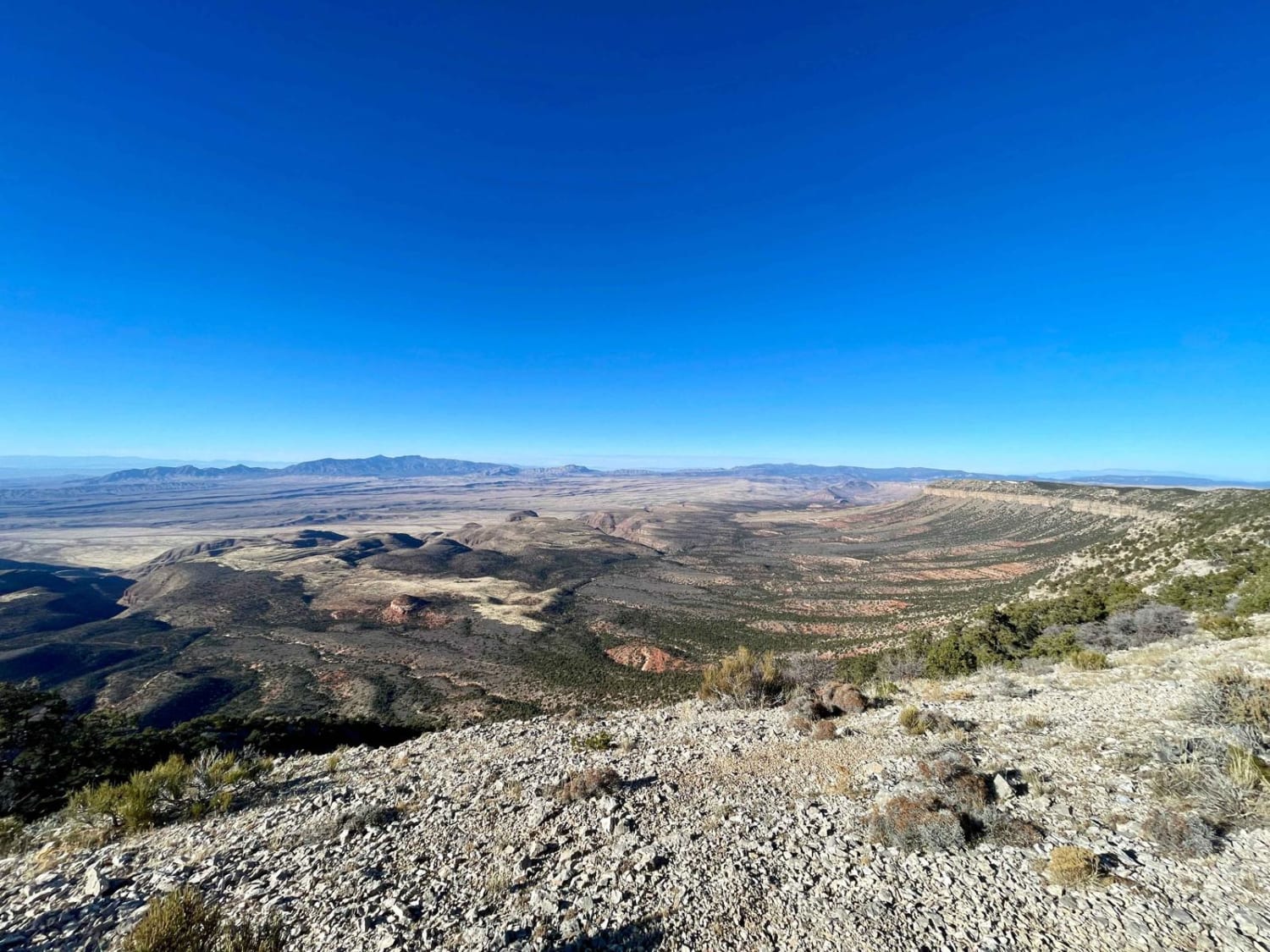
Hudson Point Overlook
Box Canyon Road
The onX Offroad Difference
onX Offroad combines trail photos, descriptions, difficulty ratings, width restrictions, seasonality, and more in a user-friendly interface. Available on all devices, with offline access and full compatibility with CarPlay and Android Auto. Discover what you’re missing today!

