FS517c
Total Miles
4.6
Technical Rating
Best Time
Spring, Summer, Fall
Trail Type
Full-Width Road
Accessible By
Trail Overview
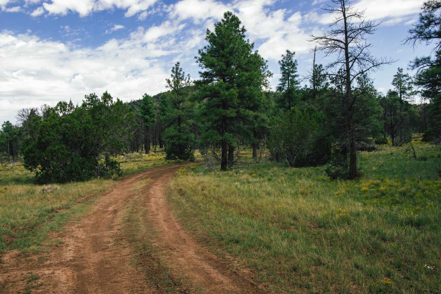
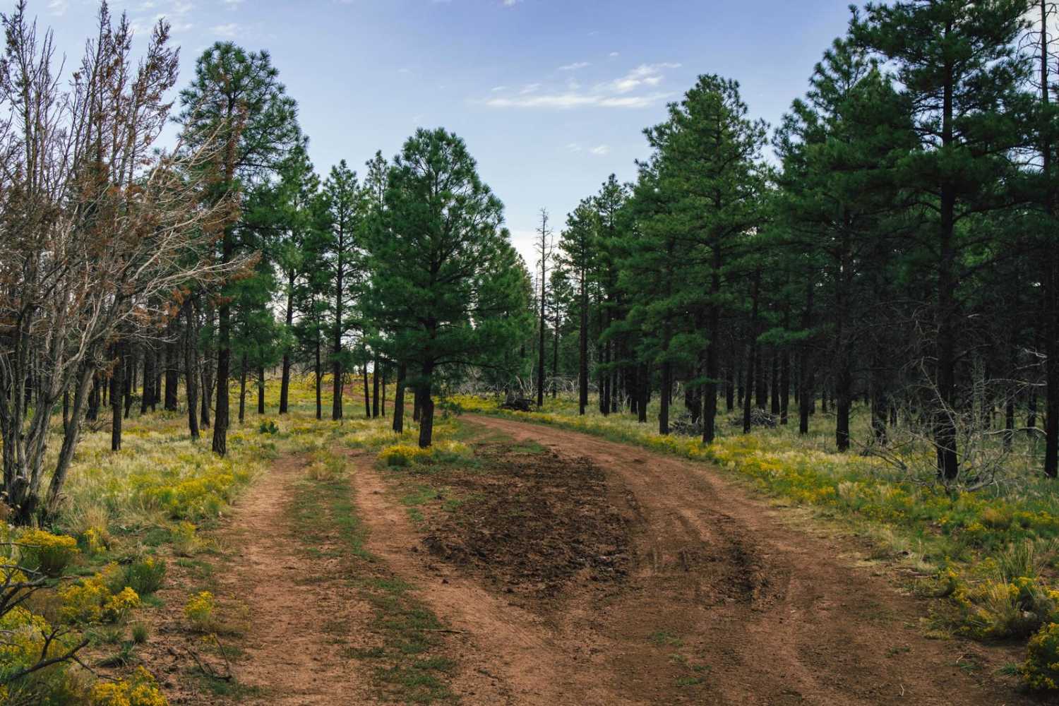
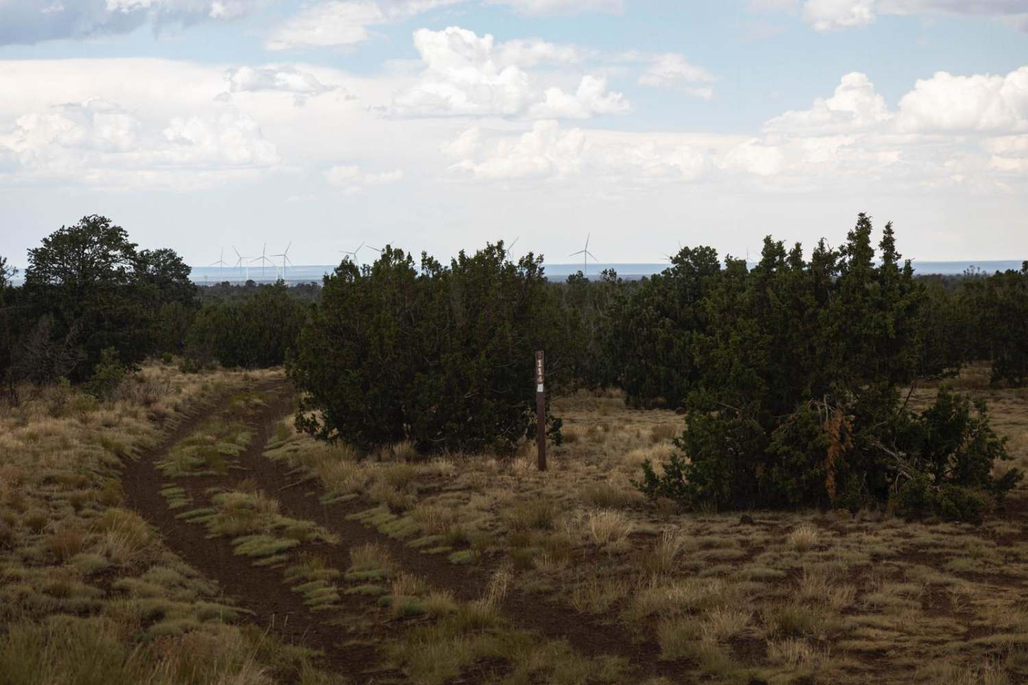
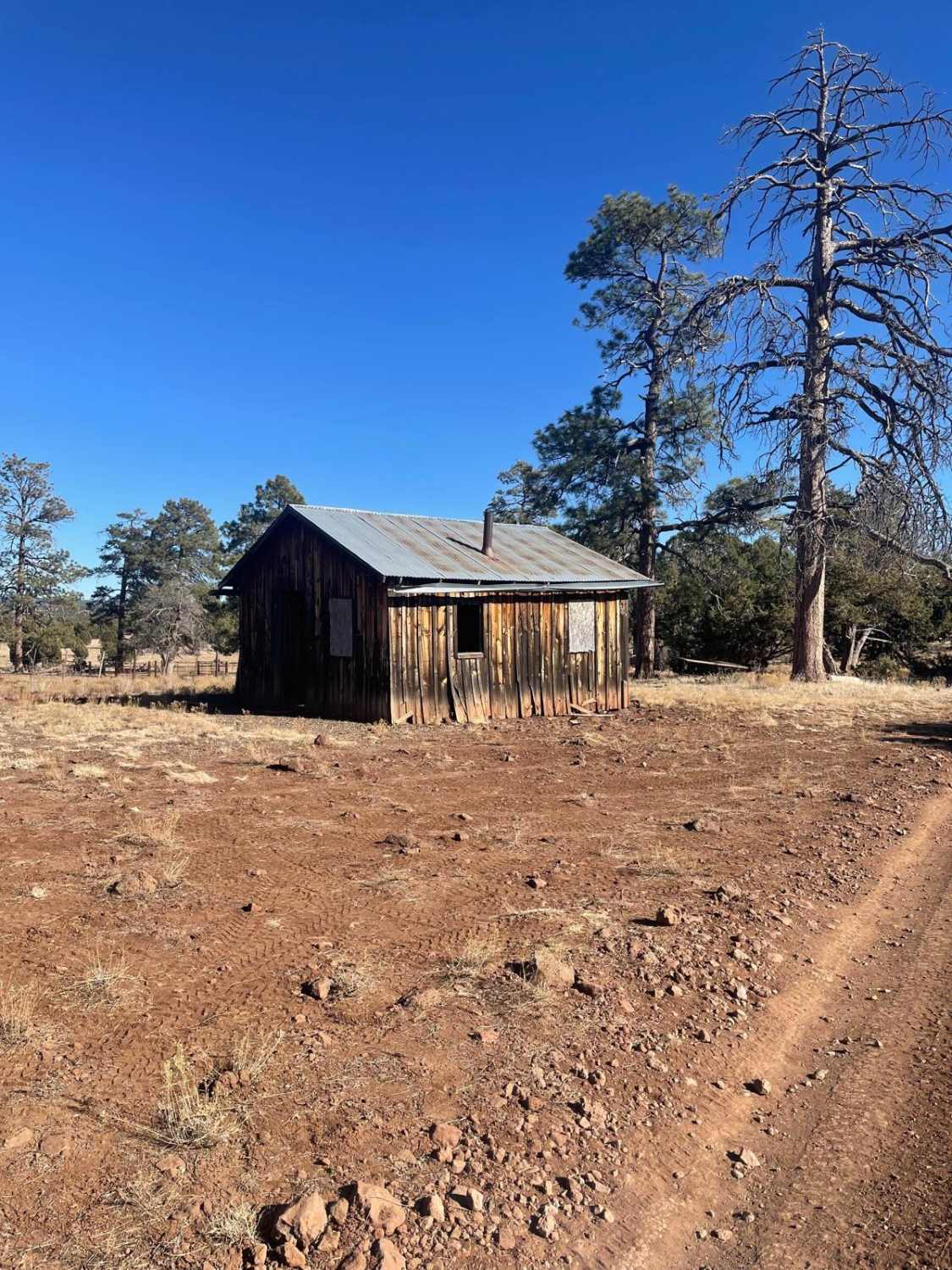
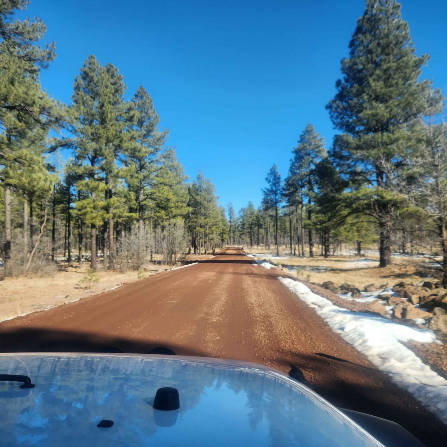
FS517c is a one-lane rocky trail that cuts through an interesting area of this section of the Coconino National Forest. To the South, you cut through a saddle between two mountain peaks, with rocky terrain, but nothing too unmanageable. As you head North, you'll end up on a high plateau of semi-grassland and mixed pine forest. Along your way, you'll encounter mud ruts and water-dictated terrain with erosion and water damage. At its Northern terminus, you're overlooking an overwhelming view of beauty as the cliff drops off and shows you the vast expanse of wild land of Northern Arizona.
Photos of FS517c
Difficulty
This is an unmaintained trail, with mud ruts, rock sections, and water damage. There are no major obstacles along this trail, but there is also no cell service, so offline maps are recommended.
Status Reports
Popular Trails

Yellow Route Connection
Turkey Mountain
The onX Offroad Difference
onX Offroad combines trail photos, descriptions, difficulty ratings, width restrictions, seasonality, and more in a user-friendly interface. Available on all devices, with offline access and full compatibility with CarPlay and Android Auto. Discover what you’re missing today!
