Gas Line Middle
Total Miles
7.5
Elevation
2,101.93 ft
Duration
0.75 Hours
Technical Rating
Best Time
Spring, Summer, Fall
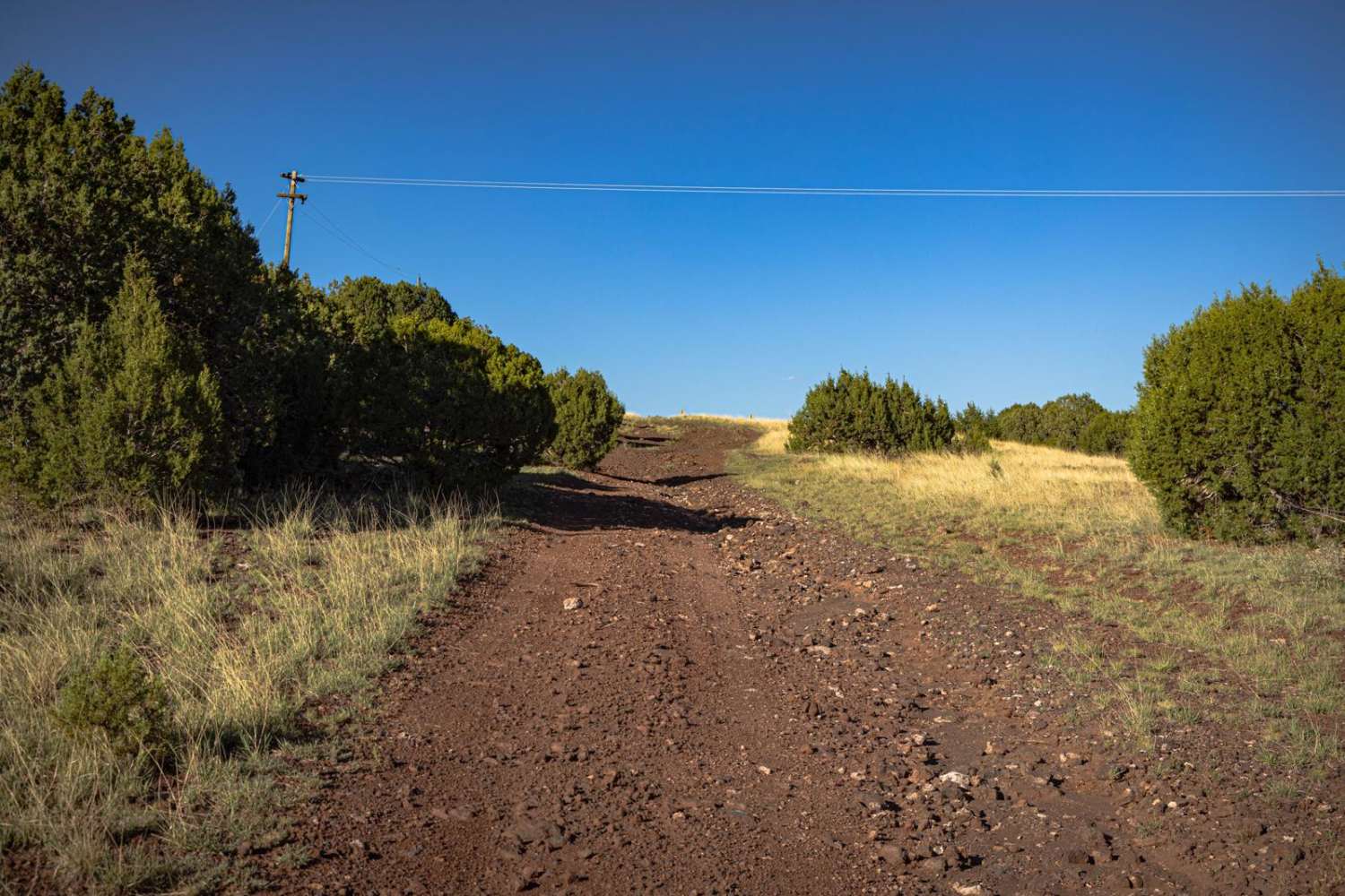
Trail Overview
The Gas Line Middle Trail is a wide clear cut through this section of the Kaibab National Forest. Rocky, with multiple areas of braiding, this trail is shaped by water damage and erosion. The trail also features hills, with stunning views both up and down the mountain where one can see for miles. Mostly one lane, there is plenty of room to turn around, as the trail runs in a large clearcut. There are no major obstacles on this trail, but there are sneaky rocks and some wash/erosion crossings. There is one bar of Verizon service on this trail, though at times it was unreliable, so offline maps are recommended.
Photos of Gas Line Middle

Difficulty
This is an unmaintained and exposed dirt road, in the middle of a clear cut. It is shaped by water and erosion, and is one lane wide, though there are plenty of places to pass and turn around. There are erosion points and wash crossings, and these may prove challenging after a moisture event.
Status Reports
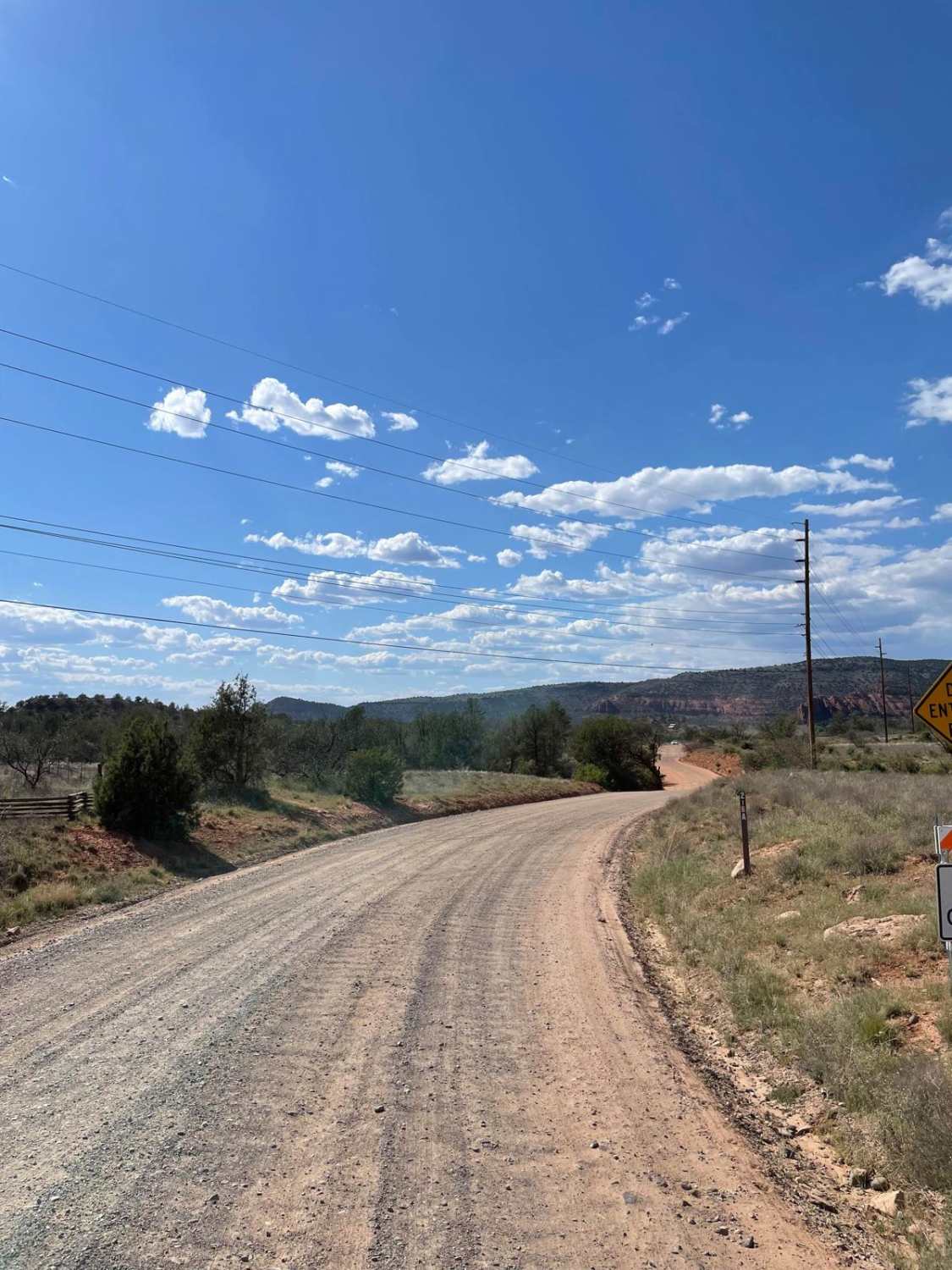
Popular Trails
Alternative Access to Cathedral Rock

West Camp Wood East
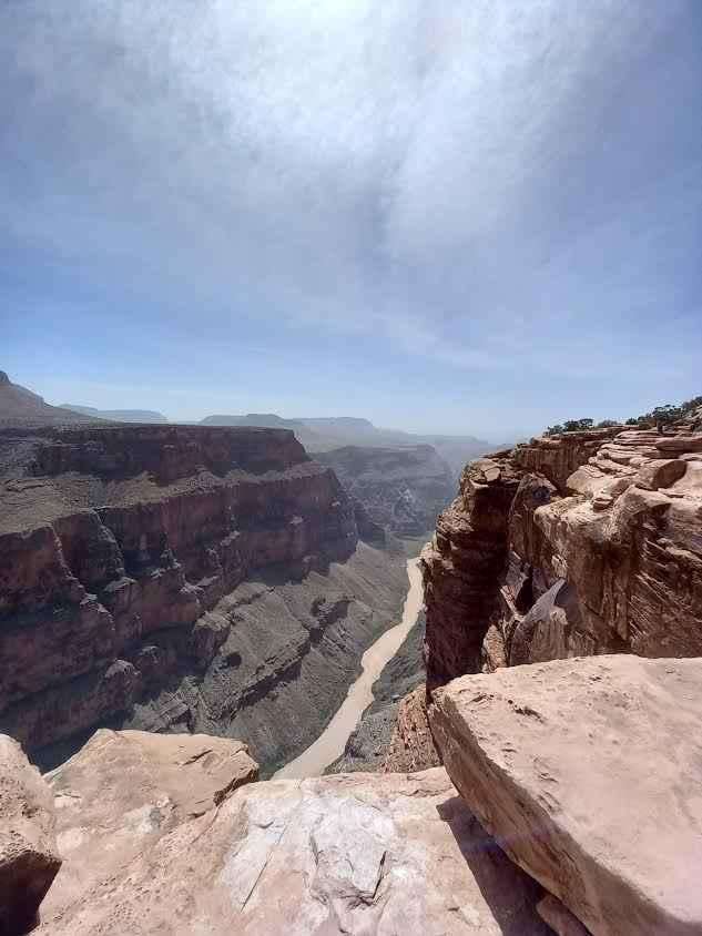
County Hwy 5/Grand Canyon Toroweap Overlook
FS 635" The Locked Gate"
The onX Offroad Difference
onX Offroad combines trail photos, descriptions, difficulty ratings, width restrictions, seasonality, and more in a user-friendly interface. Available on all devices, with offline access and full compatibility with CarPlay and Android Auto. Discover what you’re missing today!