General Crook Trail
Total Miles
4.6
Technical Rating
Best Time
Spring, Summer, Fall
Trail Type
60" Trail
Accessible By
Trail Overview
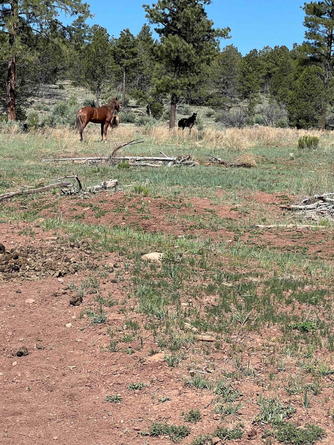
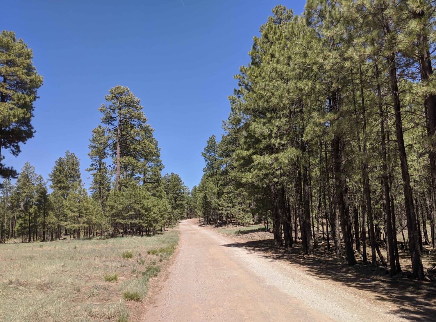
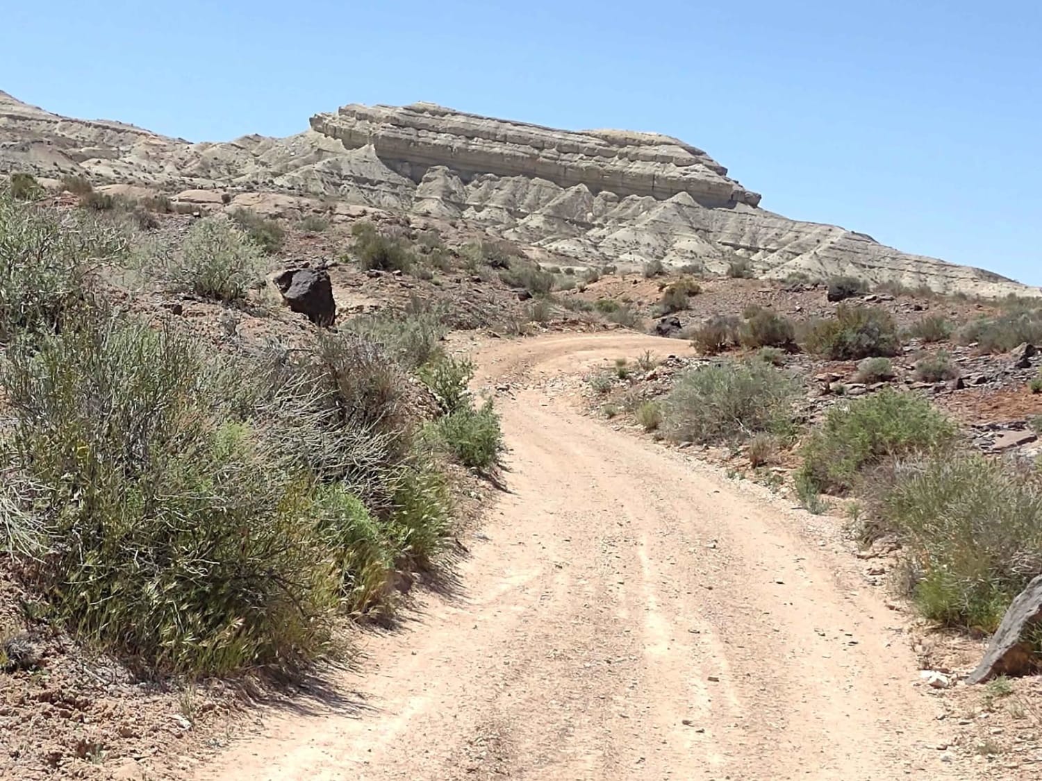
This follows the historic General Crook Trail from FS 139 Cottonwood Wash Trailhead to FS 107 Willow Wash. General Crook oversaw the construction of the road from 1872 to 1874. The trail connected Fort Whipple (present-day Prescott) with Fort Apache. It was initially used as a supply route and then for all travel until the Mogollon Rim Road was built in 1928.
Photos of General Crook Trail
Difficulty
The trail has some off-camber spots.
History
This is one section of the 58.9-mile General Crook Trail. It is marked with a metal "V" on markers and trees along the route. It became Arizona's first State Historic Trail in 1979. Martha Summerhayes, the first woman to travel the road, did so in 1874. She later wrote a book entitled, "Vanished Arizona", describing her travels in Arizona Territory.
General Crook Trail can be accessed by the following ride types:
- SxS (60")
- ATV (50")
- Dirt Bike
General Crook Trail Map
Popular Trails
Power Rock Climb
Larkum Canyon Road
East Mesa Wash Spur
The onX Offroad Difference
onX Offroad combines trail photos, descriptions, difficulty ratings, width restrictions, seasonality, and more in a user-friendly interface. Available on all devices, with offline access and full compatibility with CarPlay and Android Auto. Discover what you’re missing today!

