Grand Gulch Road/Azure Ridge Draw BLM 1215
Total Miles
1.7
Technical Rating
Best Time
Spring, Summer, Fall, Winter
Trail Type
Full-Width Road
Accessible By
Trail Overview
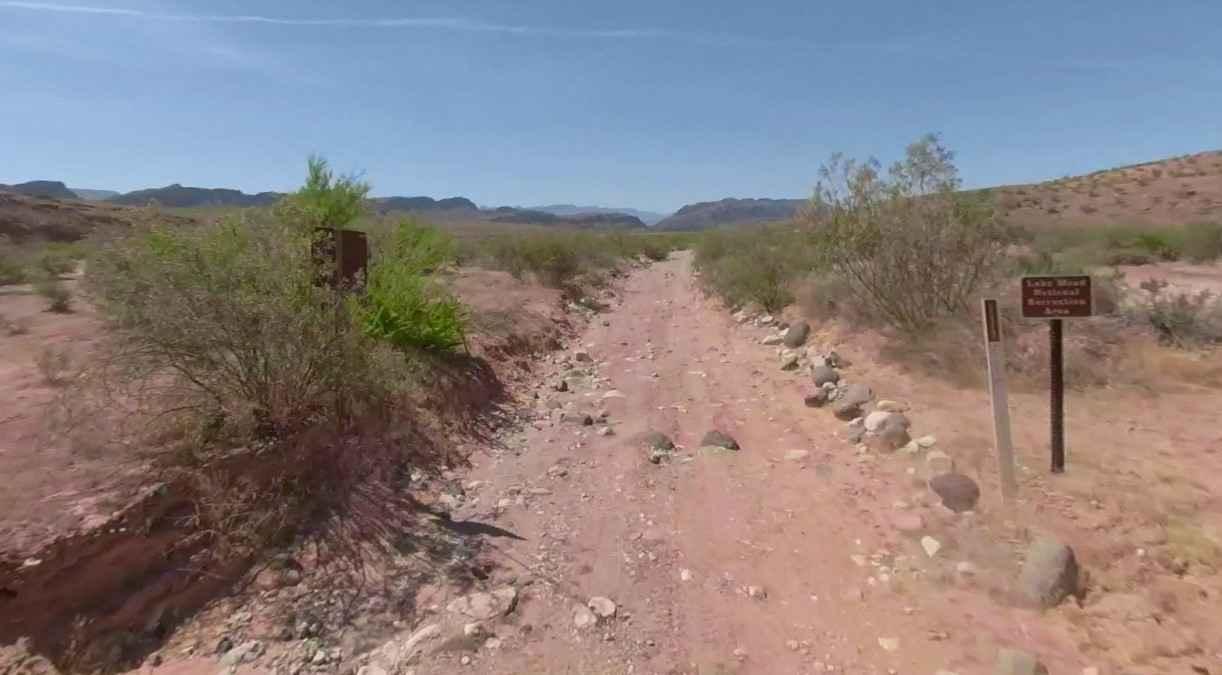
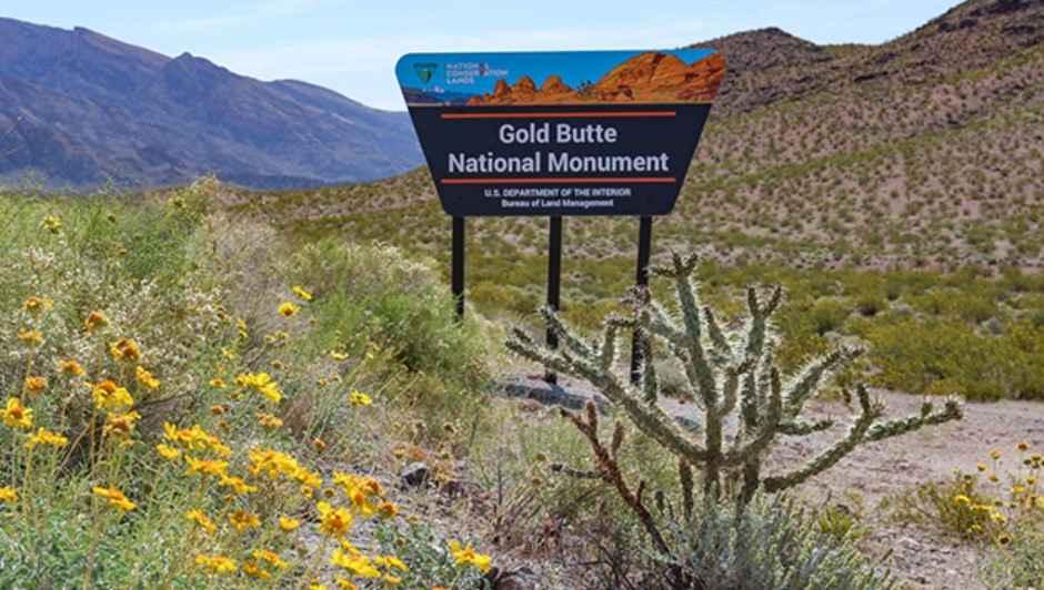
Grand Gulch Road/Azure Ridge Draw BLM 1215 is a 1.7-mile single-track road that is rated 3 of 10. It is comprised of a dirt road and sandy wash that generally runs north to south from the intersection with Grand Gulch Road. Azure Ridge Draw is located within the Million Hills Wilderness Study Area (WSA). The Million Hills Wilderness Study Area (WSA) covers 21,296 acres about 60 air miles east of Las Vegas. The borders of the Million Hills WSA draw an elongated shape across the beautiful Gold Butte Region, about 10 miles in length and just over five miles at the widest point. Gently rolling hills and low ridges sprawl across the low desert in the northern half of the WSA. To the south, colorful folds of mountain and rocky outcrops of the Azure Ridge and Million Hills bring a more dramatic change in scenery. In the higher country, steep, rugged drainages and canyons cut perpendicular to the north-south run of the mountains. Two developed springs provide critical water sources in this desert environment, with New Spring in the southwestern corner of the WSA and Julie's Spring northwest of the Azure Ridge. This stunning region is home to raptor nesting sites, unique to the area. Million Hills WSA is also home to a large population of burros and nearly 9,000 acres of habitat for the endangered desert tortoise. There is no water, gas, food, lodging, Wi-Fi, or cell service. Visitors should be advised that towing charges in the event of vehicles becoming stuck or damaged are in the region of $3,000. Areas above 5,000 feet may not be accessible in winter months due to mud and snow.
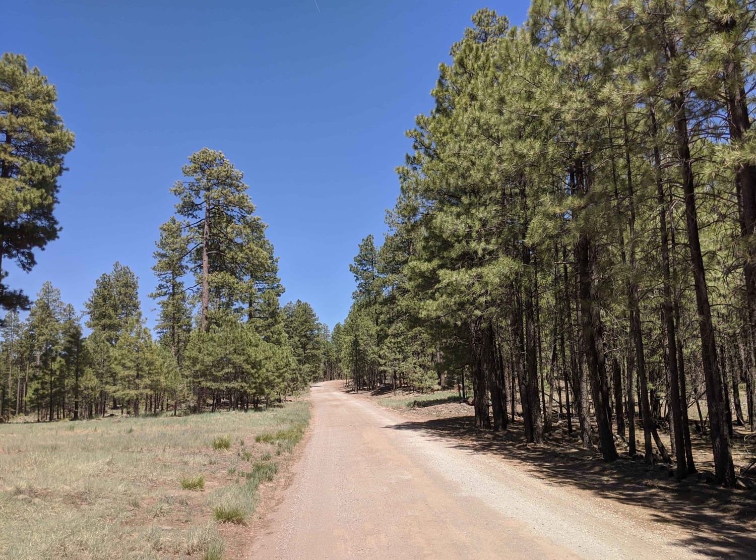
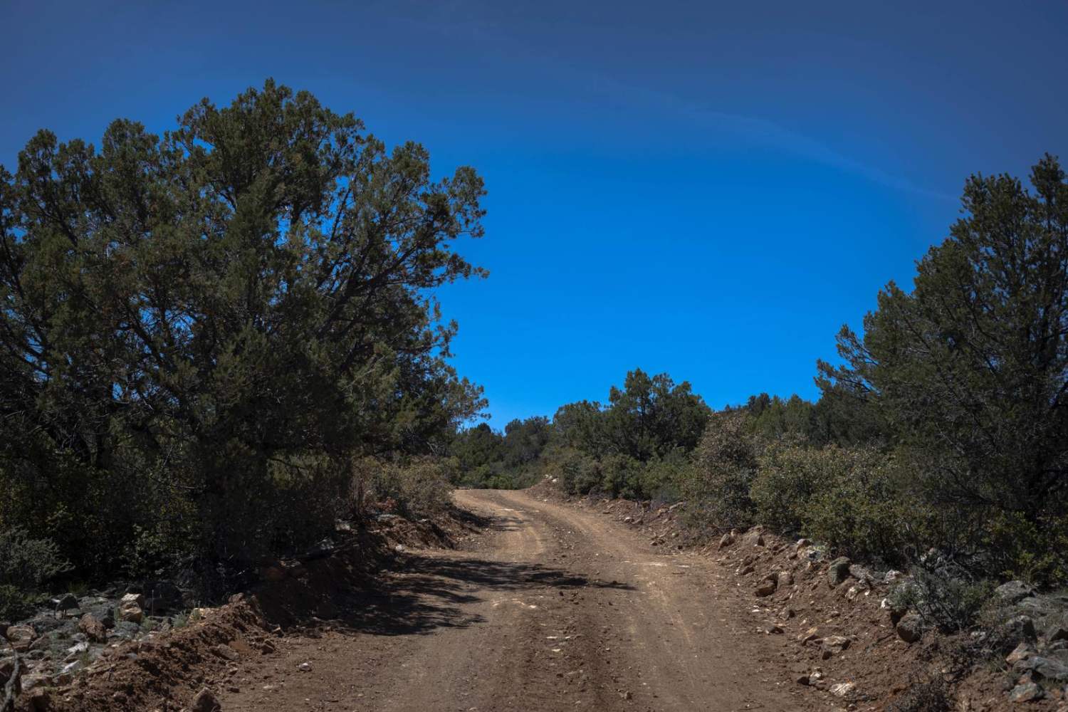
Photos of Grand Gulch Road/Azure Ridge Draw BLM 1215
Difficulty
The trail consists of loose rocks, dirt, and sand with some slickrock surfaces, mud holes possible, and no steps higher than 12 inches. 4WD may be required and aggressive tires are a plus.
Status Reports
Popular Trails
Pot Cove Road
Seegmiller Mountain Road BLM 1020
The onX Offroad Difference
onX Offroad combines trail photos, descriptions, difficulty ratings, width restrictions, seasonality, and more in a user-friendly interface. Available on all devices, with offline access and full compatibility with CarPlay and Android Auto. Discover what you’re missing today!
