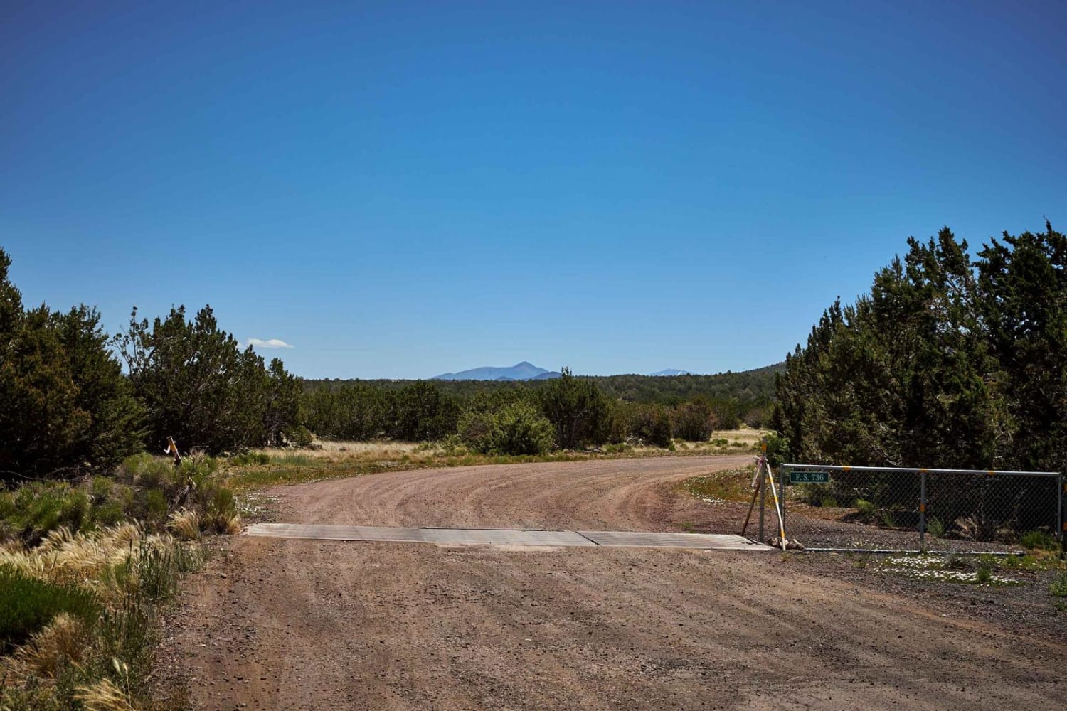
Lower Verde Valley Overlook
Total Miles
3.6
Technical Rating
Best Time
Spring, Summer, Fall, Winter
Trail Type
Full-Width Road
Accessible By
Trail Overview
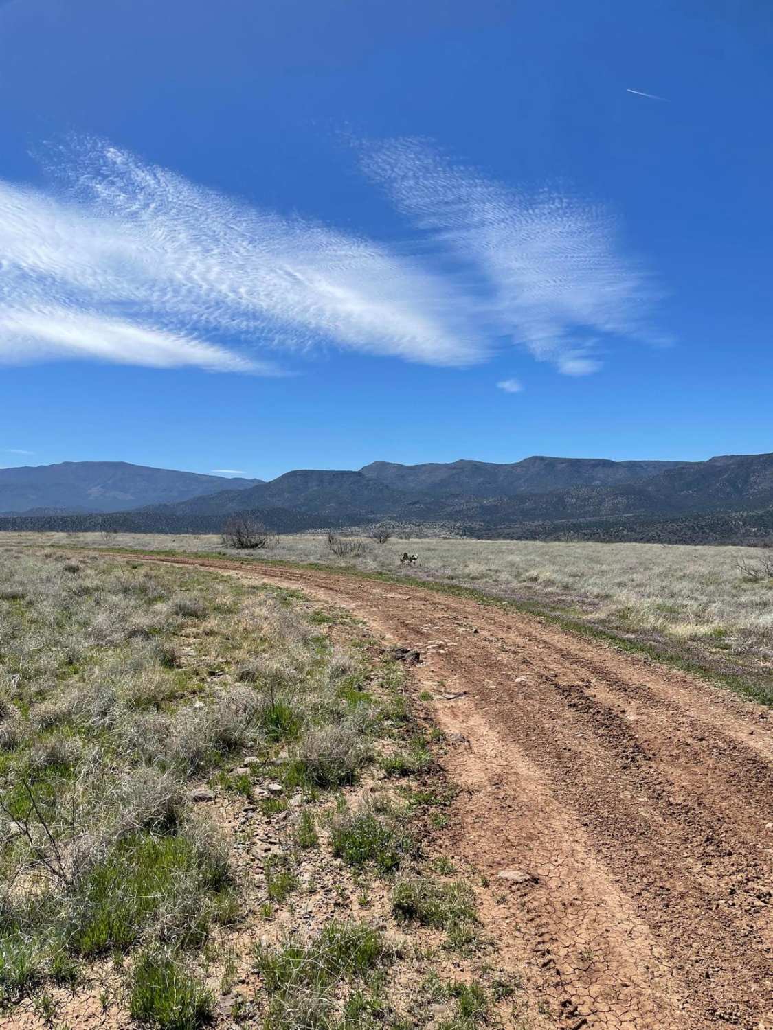
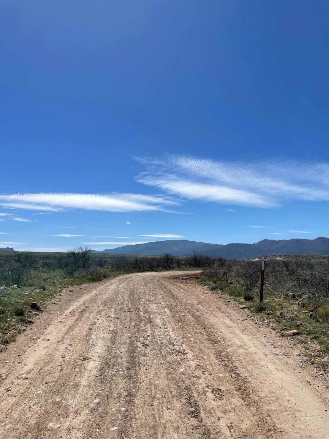
The area around this trail is a wind-swept mesa that allows a 360-degree view of the Verde Valley and the rest of the surrounding areas. The first part of this trail is a very bumpy dirt road that veers off to a smaller trail. This trail is marked on your right-hand side as Forest Service Road 9139P. When you are on this trail, you start to climb a small hill that is littered with small rock gardens. Once you are over this hill, the landscape and trail turn into a flat mesa for the rest of the trip. There is evidence of this road becoming a muddy mess during any sort of moderate precipitation due to visible old ruts. There is one fence gate to open and close near the end of the trail. The last stretch hugs the rim of the mesa and ends at an overlook above Beasley Flat Recreation Area. There are two campsites along this trail and both are close to the rim of the mesa. During spring, this area erupts with the smell of small flowers blooming on the mesa.
Photos of Lower Verde Valley Overlook
Difficulty
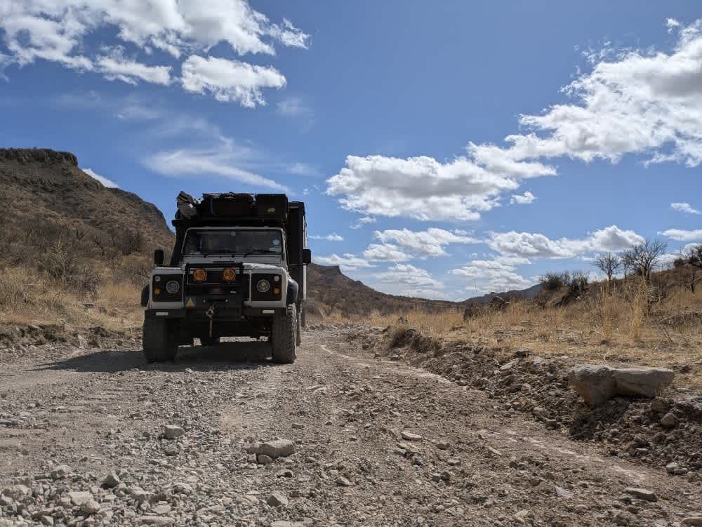
Expect a small rocky hill climb.
Status Reports
Lower Verde Valley Overlook can be accessed by the following ride types:
- High-Clearance 4x4
- SUV
- SxS (60")
- ATV (50")
- Dirt Bike
Lower Verde Valley Overlook Map
Popular Trails
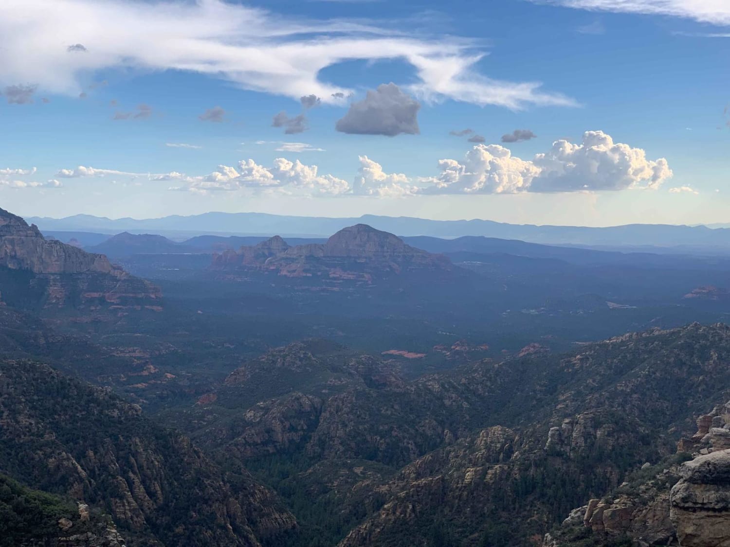
Edge of the World
The onX Offroad Difference
onX Offroad combines trail photos, descriptions, difficulty ratings, width restrictions, seasonality, and more in a user-friendly interface. Available on all devices, with offline access and full compatibility with CarPlay and Android Auto. Discover what you’re missing today!
