Miner's Traverse
Total Miles
3.9
Technical Rating
Best Time
Spring, Summer, Fall, Winter
Trail Type
High-Clearance 4x4 Trail
Accessible By
Trail Overview
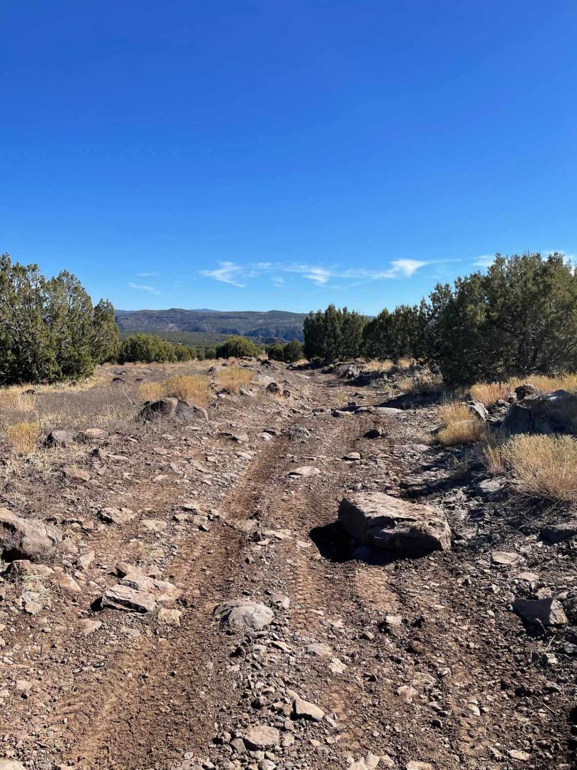
Miner's Traverse is a four-mile point-to-point, two-track trail that traverses the hill-drenched landscape, beginning/ending at Silver Creek Road (10) and Oatman Road (Highway 153). Traveling west to east, the trail initially begins easy and mellow for the first two miles or so. Then the hills begin. There are quite a few steep hill climbs of varying lengths and grades, many of which have loose dirt/rocks and the occasional larger rock to navigate. At each little summit, the view of the surrounding desert landscape seems to grow more and more incredible the higher you travel. There are plenty of offshoot trails, lookout points, and possible bypass options. At the very end (eastern side), right off the road, the trail has a short, steep hill with loose dirt and erosion damage to either finish or begin the route depending on the direction of travel. Be sure to keep an eye out for the wild burrows that roam freely out here. The trail is most commonly driven with SXS but a high-clearance 4x4 in 4Lo could likely summit the hills.
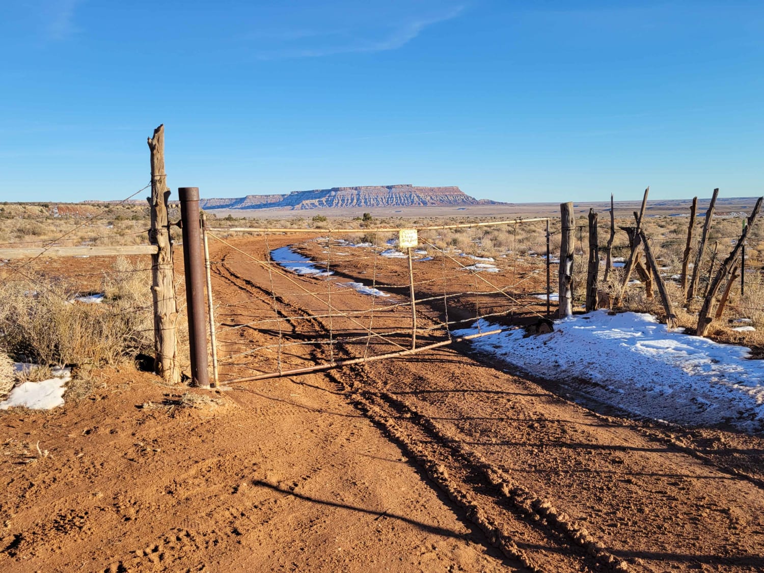
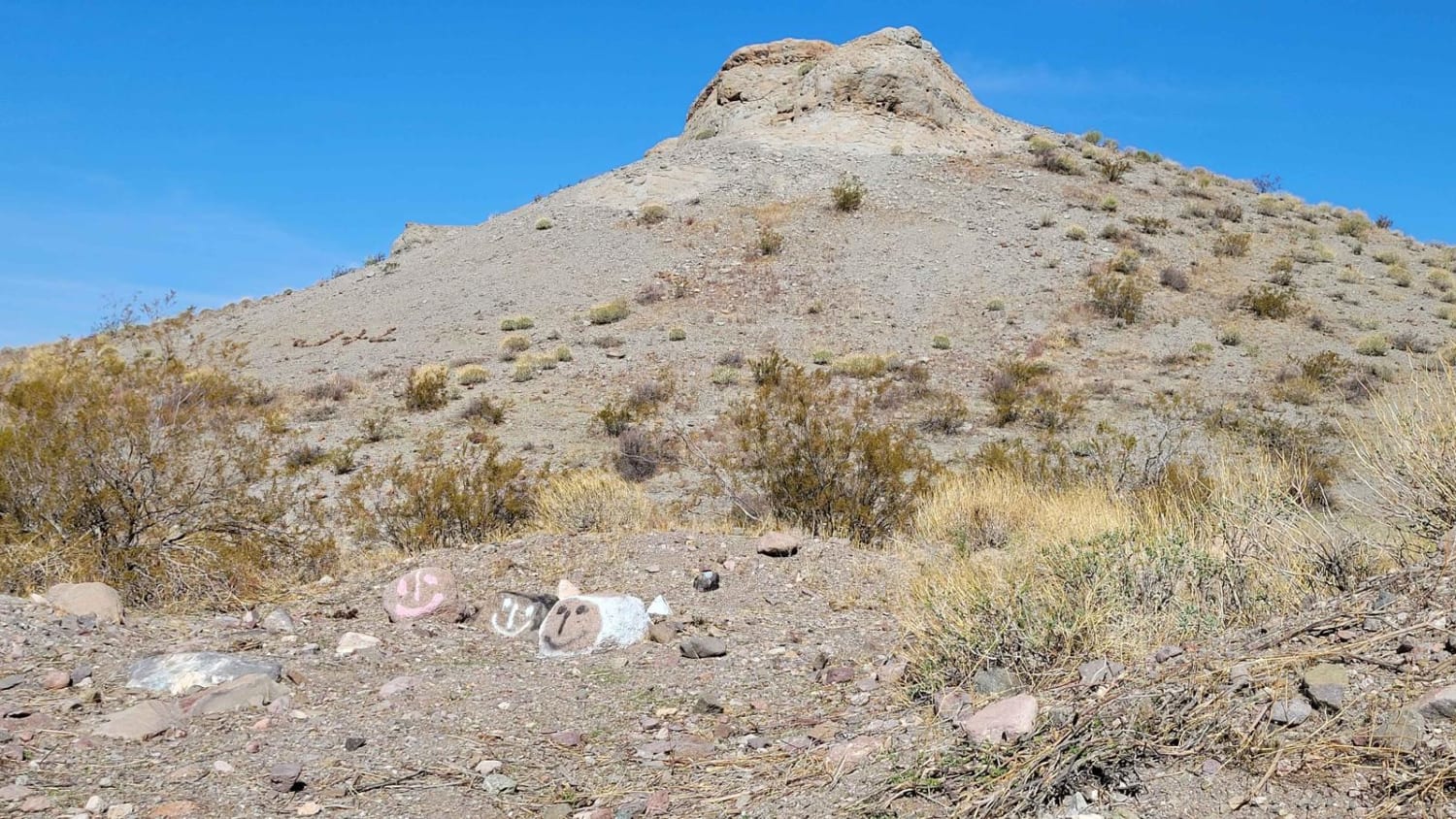
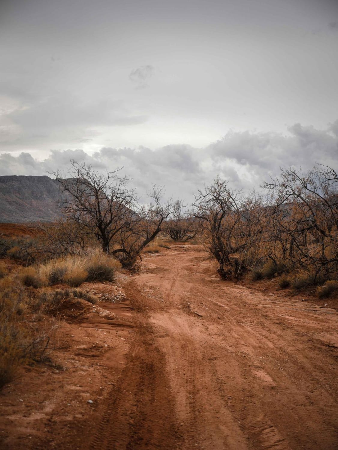
Photos of Miner's Traverse
Difficulty
There are quite a few steep hill climbs of varying lengths and grades, many of which have loose dirt/rocks and the occasional larger rock to navigate.
Status Reports
Miner's Traverse can be accessed by the following ride types:
- High-Clearance 4x4
- SxS (60")
- ATV (50")
- Dirt Bike
Miner's Traverse Map
Popular Trails

Around Little Creek Mountain

Windmill Oasis
The onX Offroad Difference
onX Offroad combines trail photos, descriptions, difficulty ratings, width restrictions, seasonality, and more in a user-friendly interface. Available on all devices, with offline access and full compatibility with CarPlay and Android Auto. Discover what you’re missing today!


