MT-1832
Total Miles
2.7
Technical Rating
Best Time
Spring, Fall
Trail Type
Full-Width Road
Accessible By
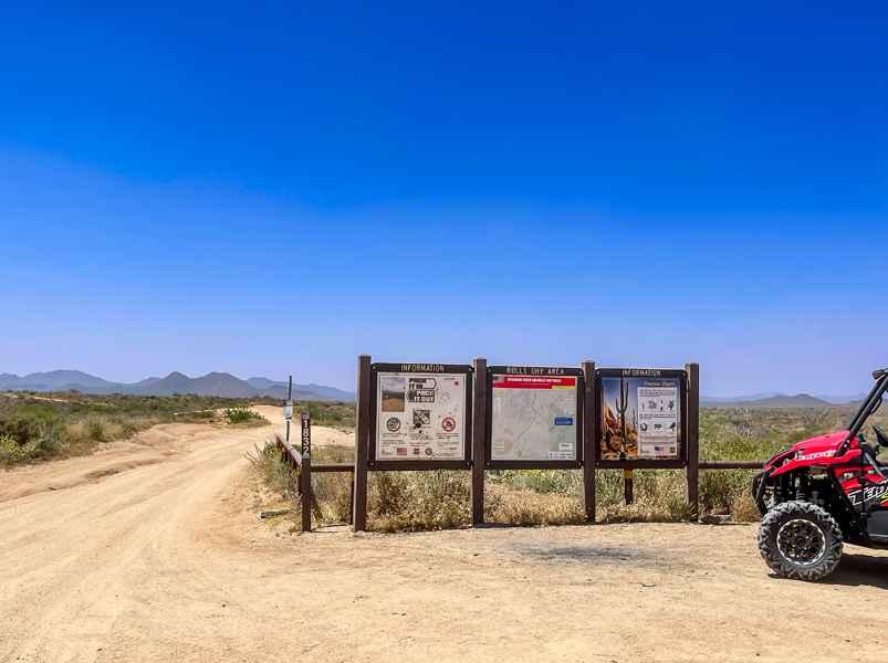
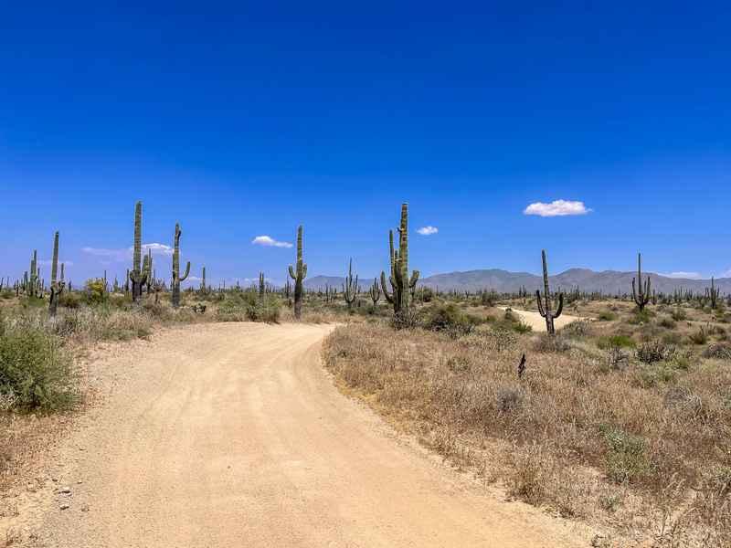
Trail Overview
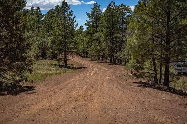
This is a short 2.8-mile point-to-point trail in the Rolls OHV trail network. It connects Cline Cabin Road (4 Peaks Road) on the north end to MT-13 on the south end. The road surface is hard-packed dirt with a thin top layer of sand and gravel. It is incredibly "whooped up" with big dry puddle holes most of the year and a nonstop series of mud puddles in the wet seasons. One large puddle approximately halfway through turns into a small pond when it rains. Due to the whoops, full-size vehicles should travel at a much slower pace than ATVs and side-by-sides. Visibility is good for almost the entire distance of the trail, so it is easy to see oncoming traffic. This trail is used quite a bit by private users as well as tour companies, so do watch out for oncoming traffic. The scenery consists of wide-open desert views of the Four Peaks, Sugarloaf Mountain, and the Superstition Range. Saguaros are abundant and in the spring, wildflowers are everywhere. Dispersed camping is permitted as it is a National Forest, but be aware that there is no shade or shelter from the elements, and unfortunately, target shooting and partying are very common in the area.
Photos of MT-1832
Difficulty
This is a very easy trail, just watch your speed with the endless whoops.
Status Reports
MT-1832 can be accessed by the following ride types:
- High-Clearance 4x4
- SUV
- SxS (60")
- ATV (50")
- Dirt Bike
MT-1832 Map
Popular Trails

Betty Lee Mine Spur
The onX Offroad Difference
onX Offroad combines trail photos, descriptions, difficulty ratings, width restrictions, seasonality, and more in a user-friendly interface. Available on all devices, with offline access and full compatibility with CarPlay and Android Auto. Discover what you’re missing today!