Mud Logger
Total Miles
4.6
Technical Rating
Best Time
Spring, Summer, Fall
Trail Type
Full-Width Road
Accessible By
Trail Overview
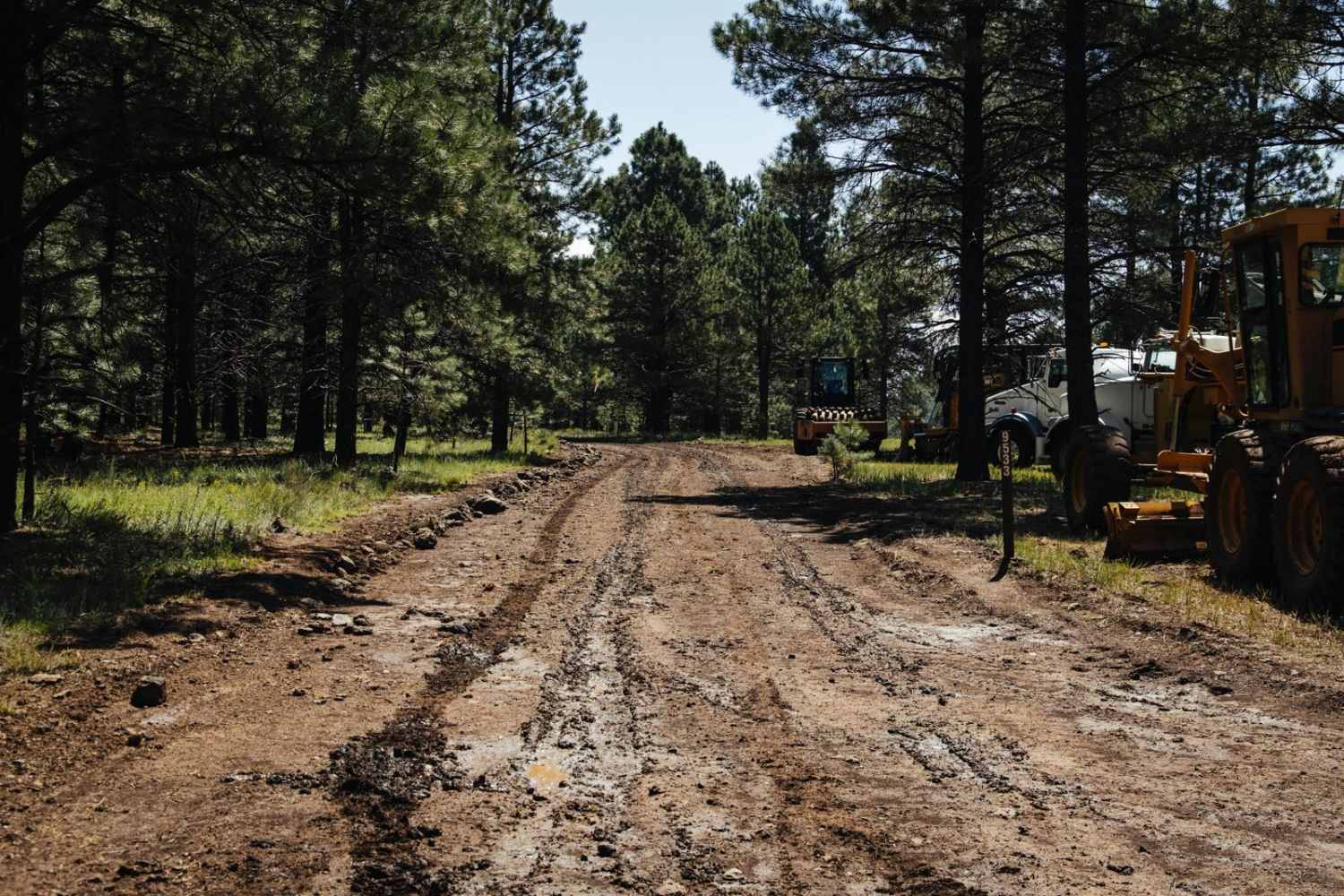
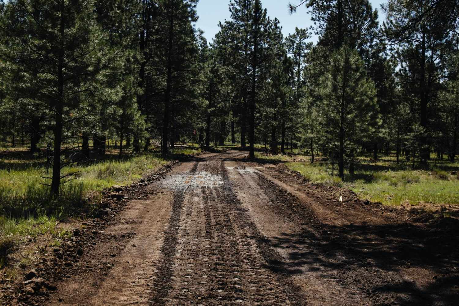
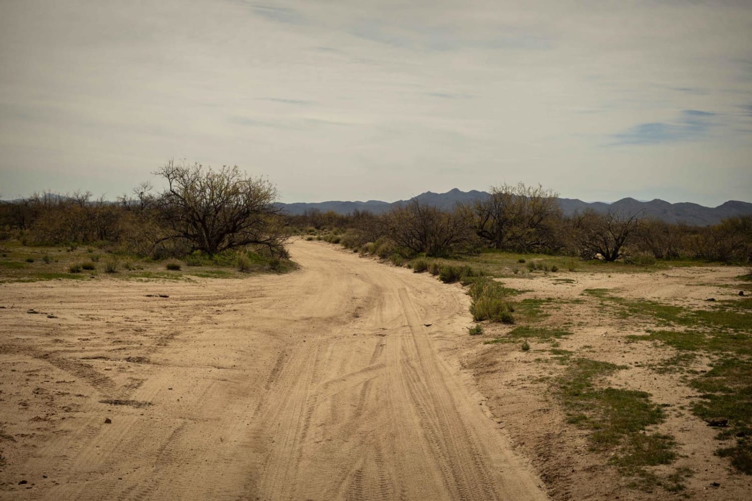
I had the privilege of hitting the Mud Logger Trail just after a storm in the famous monsoon season of Northern Arizona. Trust me, it's earned its name. The trail has been recently widened to accommodate the logging going on in the area, so don't be surprised to see heavy machinery or large trucks on the trail or in the surrounding area. The Southern section was exclusively dirt and mud. Through the saddle to the North, the trail turns more rocky, but the trail remains wide throughout. There is some erosion and mud ruts to deal with that no doubt will be exacerbated by the weather until the road is shored up. No worries if you get stuck, as this trail meanders through the forest and is lined by trees to possibly winch to. Other than that, there are no obstacles along this trail, but also no cell service, so offline maps are recommended.
Photos of Mud Logger
Difficulty
This is an unmaintained trail that is wide and easy, with no obstacles. The trail may turn to complete mud after a rain event or during monsoon season, so 2WD is not recommended.
Status Reports
Popular Trails
Twin Buttes to Hwy 74
The onX Offroad Difference
onX Offroad combines trail photos, descriptions, difficulty ratings, width restrictions, seasonality, and more in a user-friendly interface. Available on all devices, with offline access and full compatibility with CarPlay and Android Auto. Discover what you’re missing today!
