New River Mesa Approach
Total Miles
2.4
Technical Rating
Best Time
Spring, Fall, Winter
Trail Type
Full-Width Road
Accessible By
Trail Overview
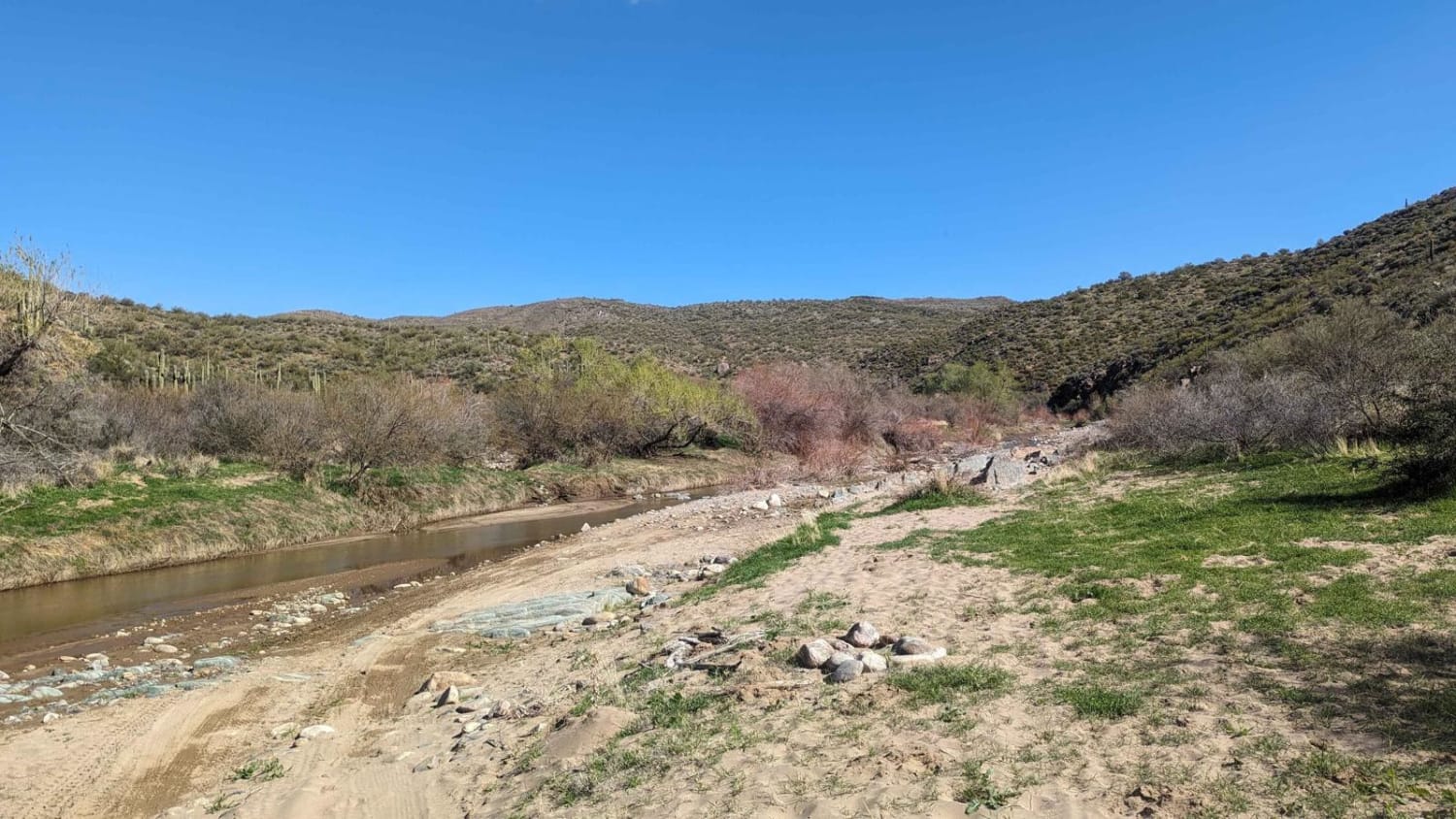
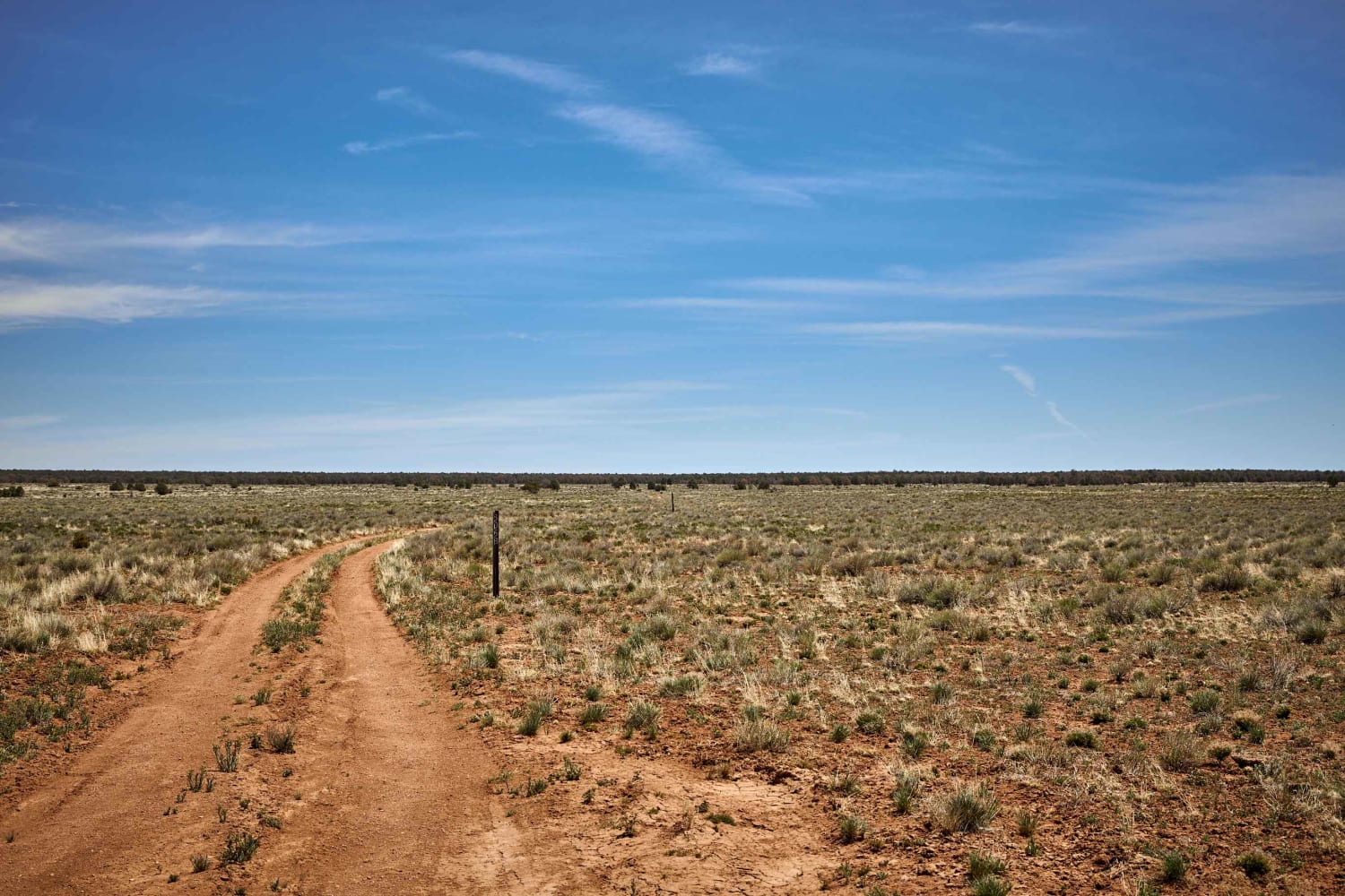
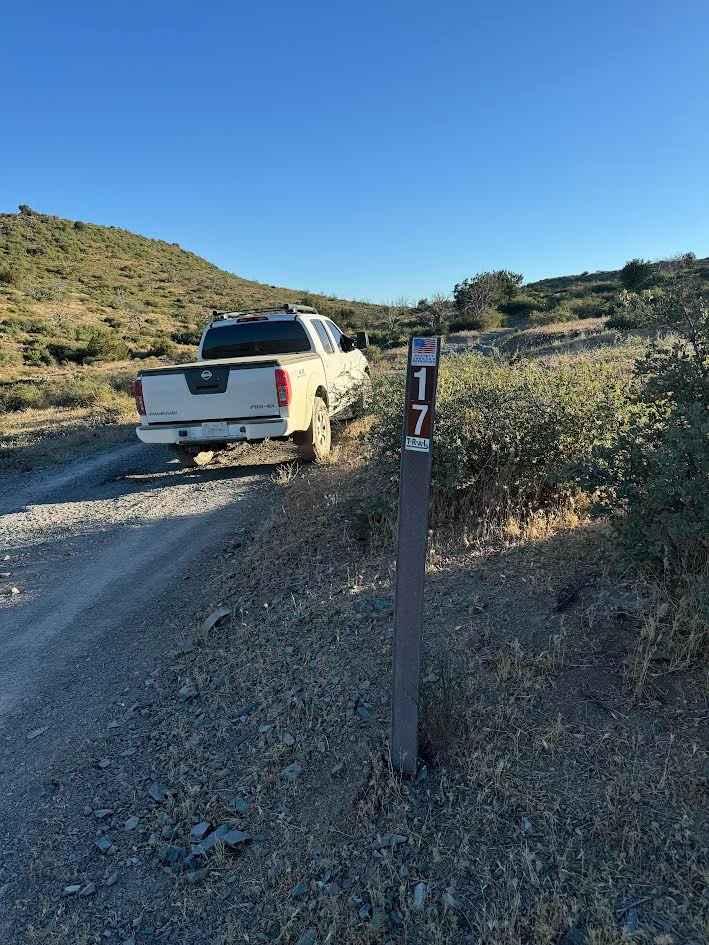
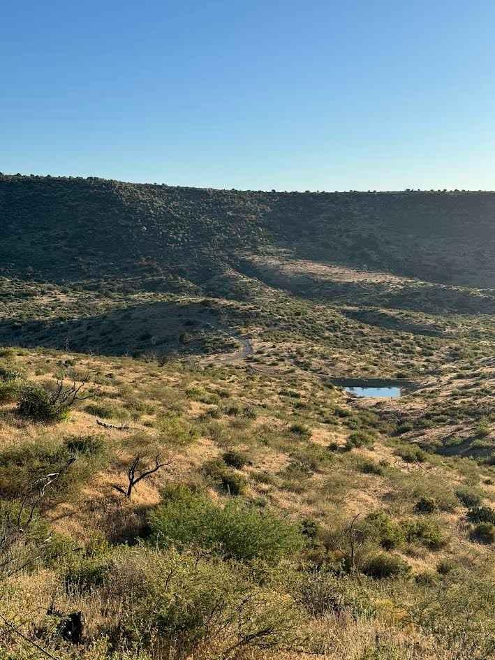
New River Mesa Approach (FR 17) is a 2.44-mile one-way out and back trail. This trail is called the New River Mesa "Approach" as it leads to the base of New River Mesa. It is mostly easy, with a few washed-out sections that can be difficult to get through without 4WD. You will run this road mostly along hilltops and ridgelines with outstanding views of both Spur Cross and New River Canyon. It then begins a gradual descent to the base of New River Mesa. You will reach a sign that says "primitive road," which only applies to the road to the left of the sign. You will turn right here on FR 3201 and proceed until you run into a gate. You can proceed through the gate (close it after you go through) and find a trail that is overgrown. This leads to an earthen dam about .25 miles away. If you want to protect your paint from scratches, consider the gate the end of the trail. If you were to continue to the left of the primitive road sign you will be starting the much more difficult New River Mesa Trail which continues for another 7.5 miles. The New River Mesa Trail runs up the side of the mesa and then spends roughly 7 miles on top of the Mesa. It is very rocky and requires high clearance.
Photos of New River Mesa Approach
Difficulty
Some washed out sections of the road require 4wd and decent ground clearance.
Status Reports
New River Mesa Approach can be accessed by the following ride types:
- High-Clearance 4x4
- SUV
- SxS (60")
- ATV (50")
- Dirt Bike
New River Mesa Approach Map
Popular Trails

Black Canyon Creek

Under Pressure

Drake Bypass

Harbison Bloody Tank Road
The onX Offroad Difference
onX Offroad combines trail photos, descriptions, difficulty ratings, width restrictions, seasonality, and more in a user-friendly interface. Available on all devices, with offline access and full compatibility with CarPlay and Android Auto. Discover what you’re missing today!

