North Entrance to Crown King Road
Total Miles
10.5
Technical Rating
Best Time
Spring, Summer, Fall, Winter
Trail Type
Full-Width Road
Accessible By
Trail Overview
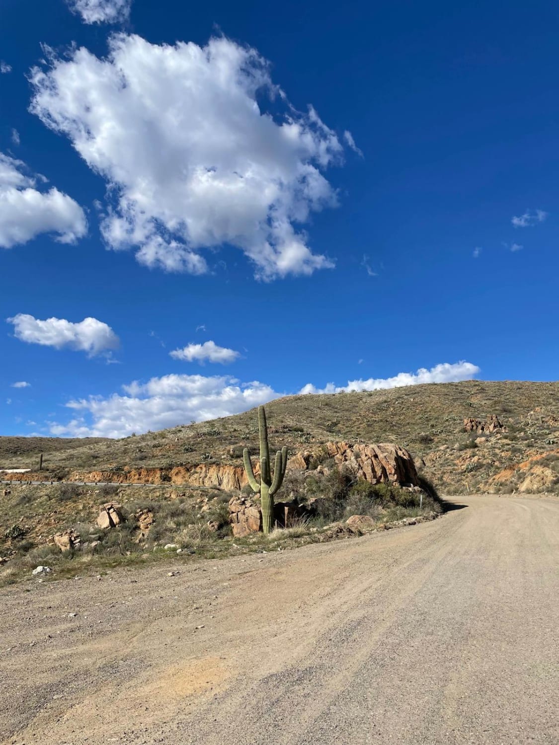
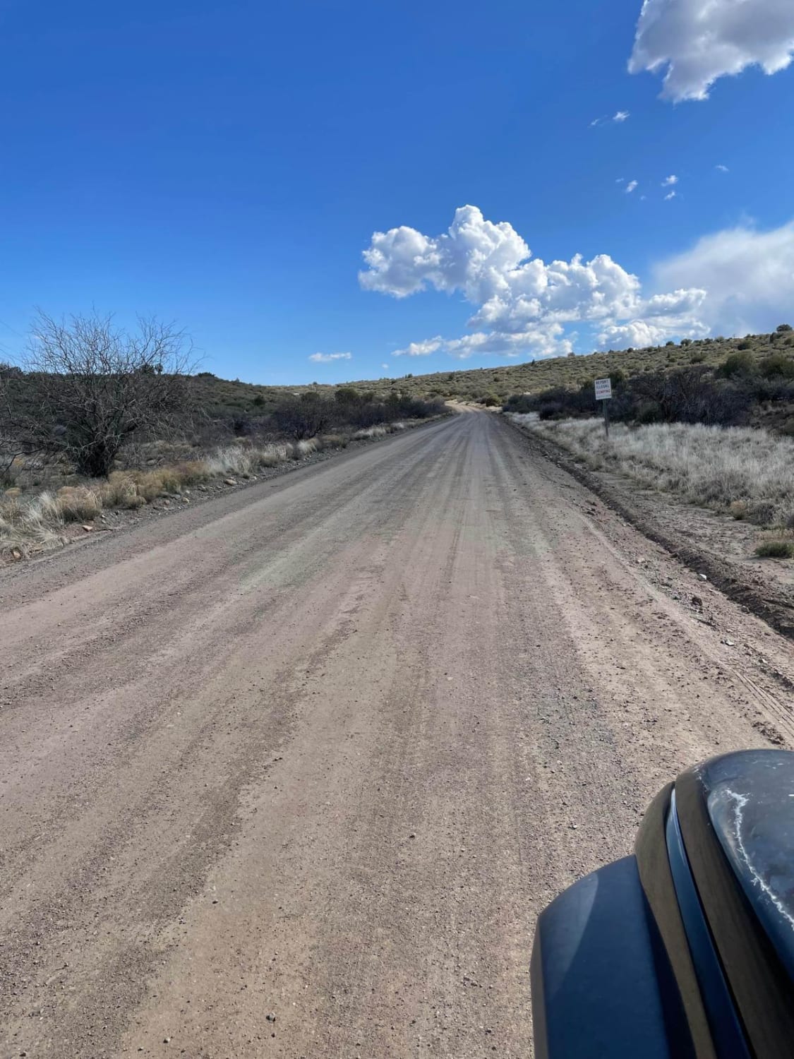
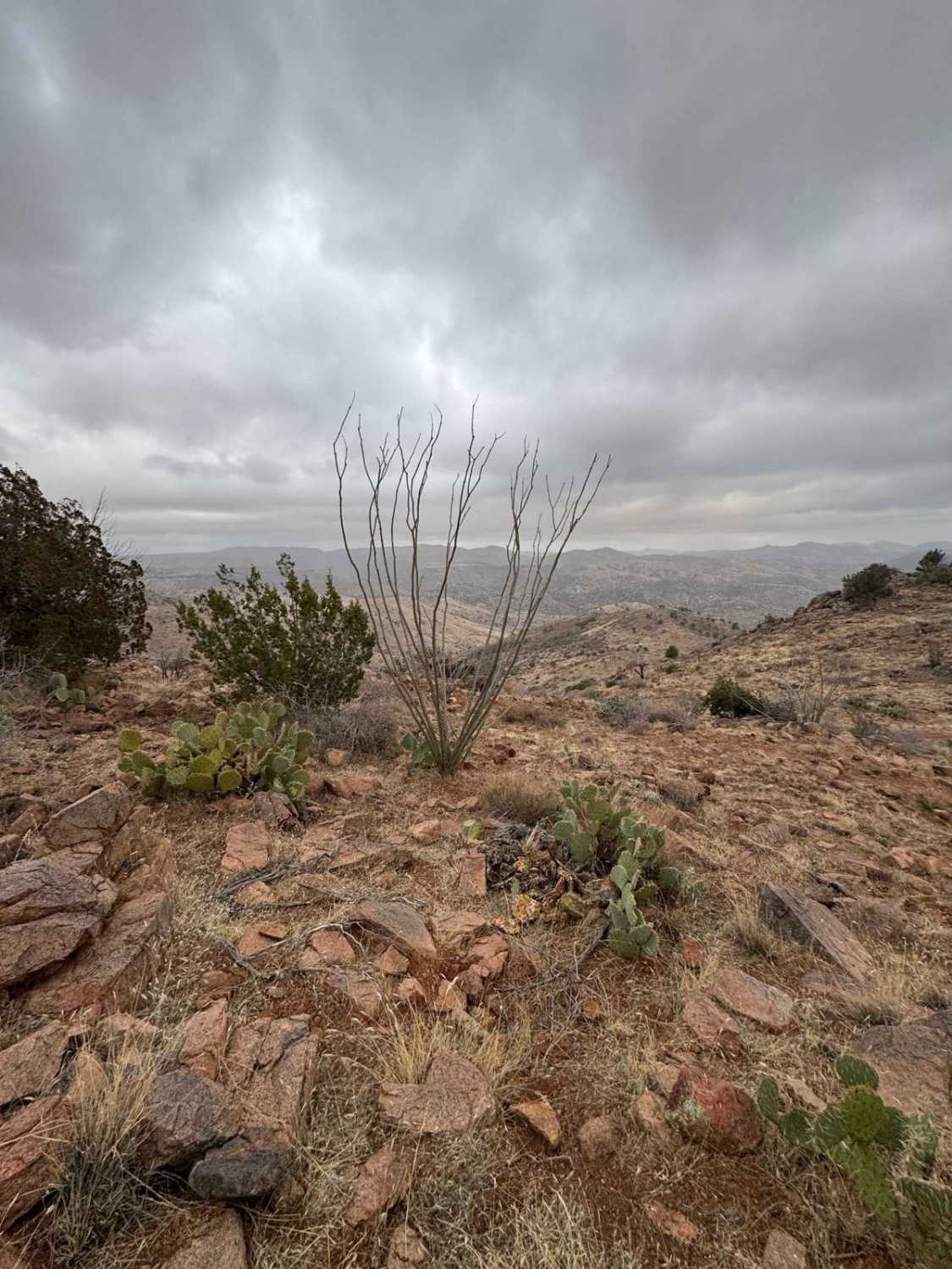
This route takes you from the small town of Mayer to an intersection with the main Crown King Road. This route stretches over 10.5 miles and has nice panoramic views most of the way. You will see several saguaros along with other cacti and ocotillos covering the landscape. There are several nice camp spots on this route that overlook the Bradshaw Mountains to the southwest. There are a few sharp turns when this route starts to drop in elevation, so be careful of others who may be driving/riding. This is a maintained gravel road that is very washboarded in areas. It can be muddy after snow or rain, but it's easy to travel.It's a perfect route for a group of Jeeps or SxSs.
Photos of North Entrance to Crown King Road
Difficulty
This is an extremely easy trail for everyone riding in a SxS, dirt bike, or high-clearance 4x4. You will pass through a semi-residential area but it's a smooth ride till you reach the trail towards Crown King. Then it can be a bit more rough. The washboards can be rough at times, but they're not terrible. It's muddy after a good rain or snow. Air down before heading out for a smoother ride.
Status Reports
North Entrance to Crown King Road can be accessed by the following ride types:
- High-Clearance 4x4
- SUV
- SxS (60")
- ATV (50")
- Dirt Bike
North Entrance to Crown King Road Map
Popular Trails

Benchmark Mountain
Cave Creek Road
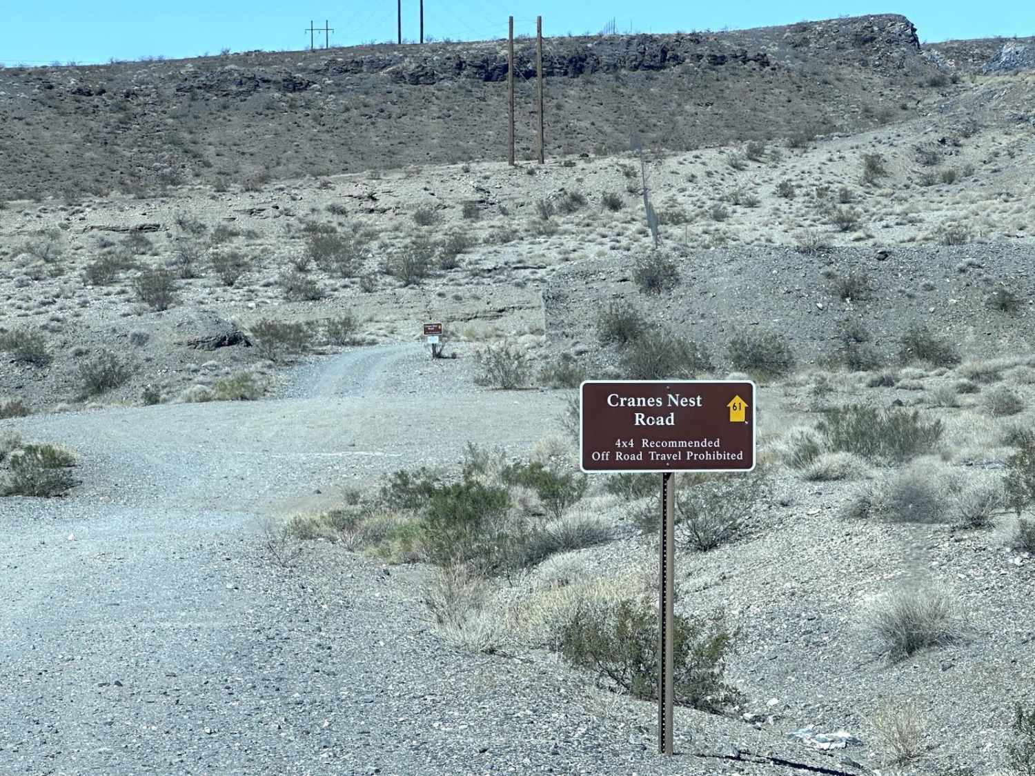
Crane's Nest Road
The onX Offroad Difference
onX Offroad combines trail photos, descriptions, difficulty ratings, width restrictions, seasonality, and more in a user-friendly interface. Available on all devices, with offline access and full compatibility with CarPlay and Android Auto. Discover what you’re missing today!