Orme Bypass
Total Miles
12.2
Technical Rating
Best Time
Spring, Summer, Fall, Winter
Trail Type
Full-Width Road
Accessible By
Trail Overview
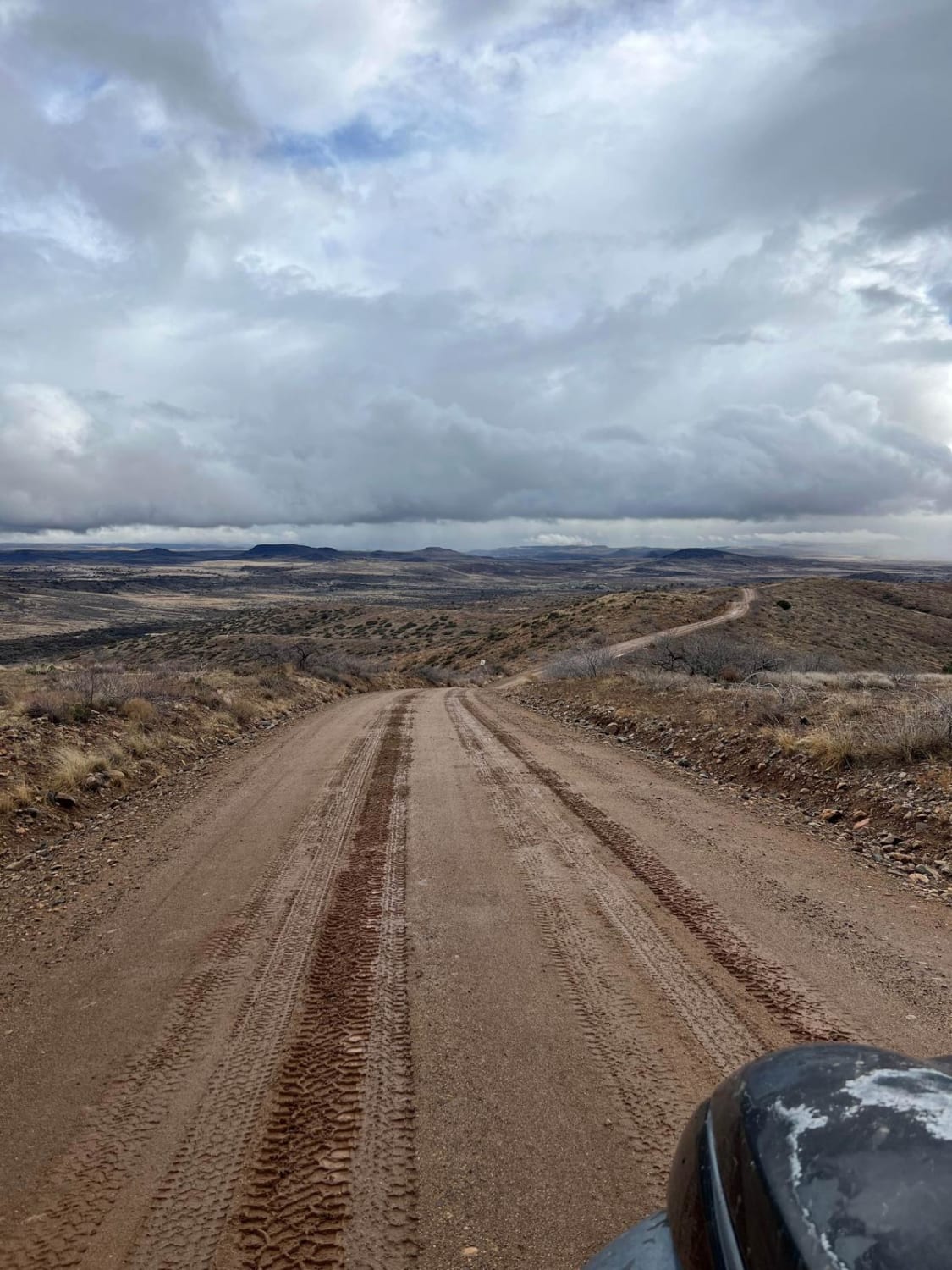
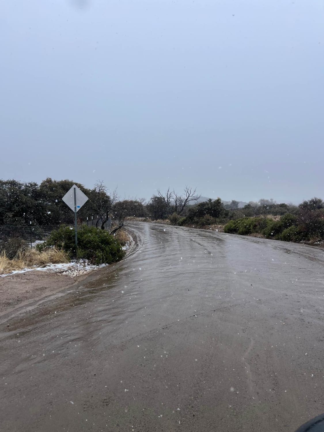
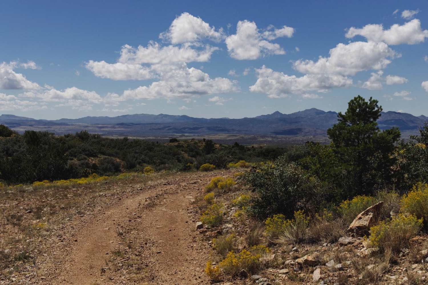
This route starts on the south side of Highway 169 and ends close to I-17. In dry conditions, this is a maintained dirt road that stretches 12.2 miles which any vehicle can make. If there has been moderate precipitation, parts of this road turn into very slippery clay-based mud with some slight uphill areas that will require a 4x4 rig. The first part of this route goes through a residential area, so please slow down. After the first section, the route enters the Prescott National Forest. There are camping areas along this route and other outdoor recreation activities like hiking and OHV riding. Most of this route is traveling up and down rolling hills until you reach pavement right before the I-17.
Photos of Orme Bypass
Difficulty
If there has been recent rain, this route will go up in difficulty due to the slippery clay-based surface.
Orme Bypass can be accessed by the following ride types:
- High-Clearance 4x4
- SUV
- SxS (60")
- ATV (50")
- Dirt Bike
Orme Bypass Map
Popular Trails
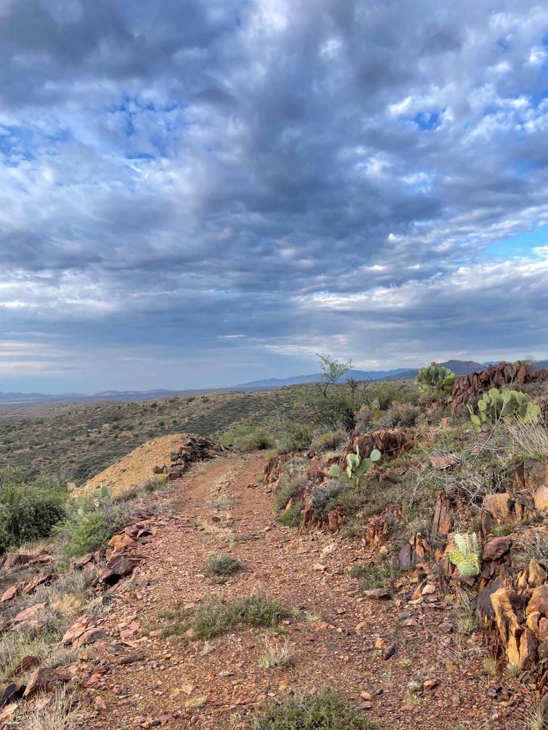
Tri-Metals Mine
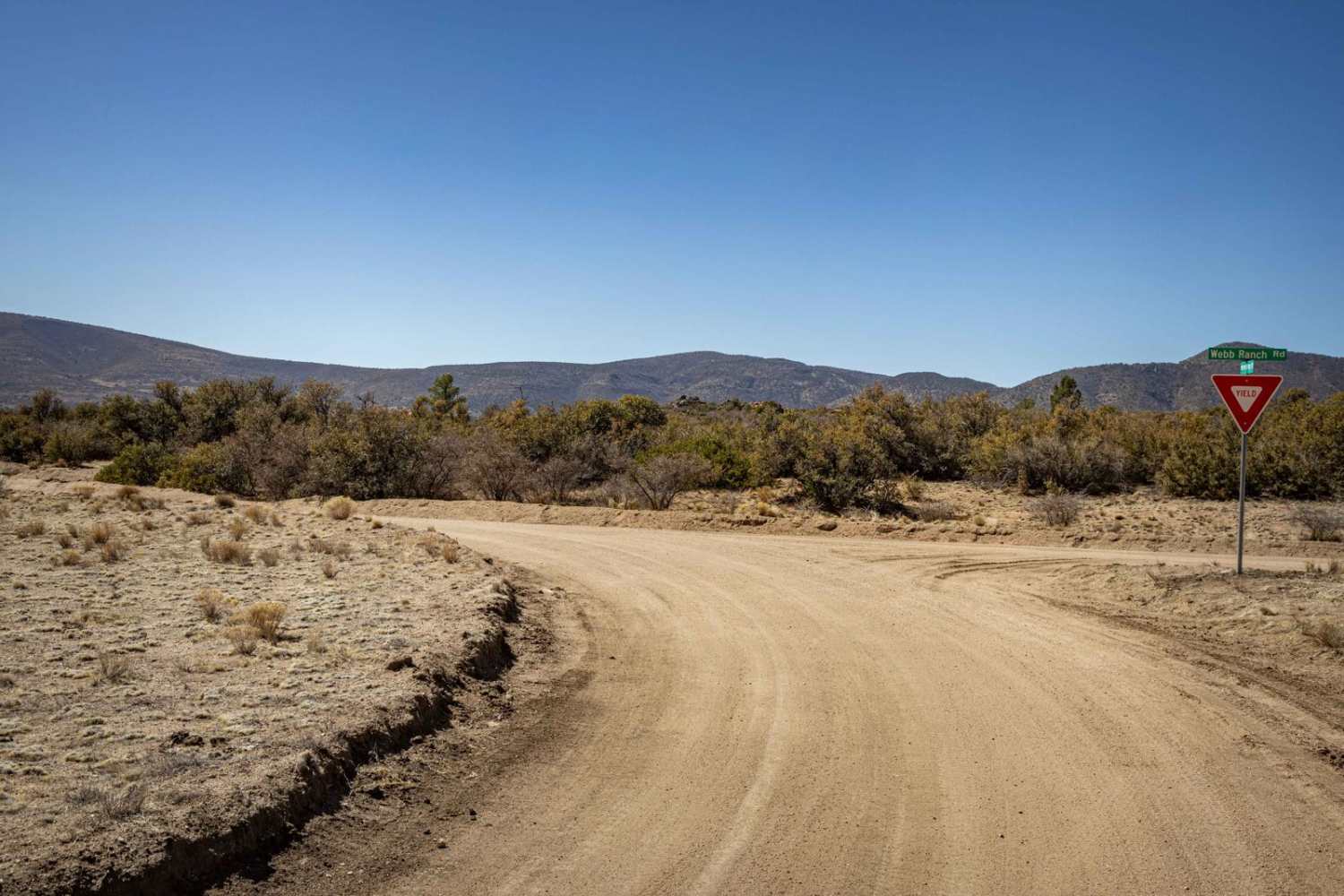
Webb Ranch Road
The onX Offroad Difference
onX Offroad combines trail photos, descriptions, difficulty ratings, width restrictions, seasonality, and more in a user-friendly interface. Available on all devices, with offline access and full compatibility with CarPlay and Android Auto. Discover what you’re missing today!
