Pioneer Pass
Total Miles
21.1
Technical Rating
Best Time
Spring, Summer, Fall
Trail Type
Full-Width Road
Accessible By
Trail Overview
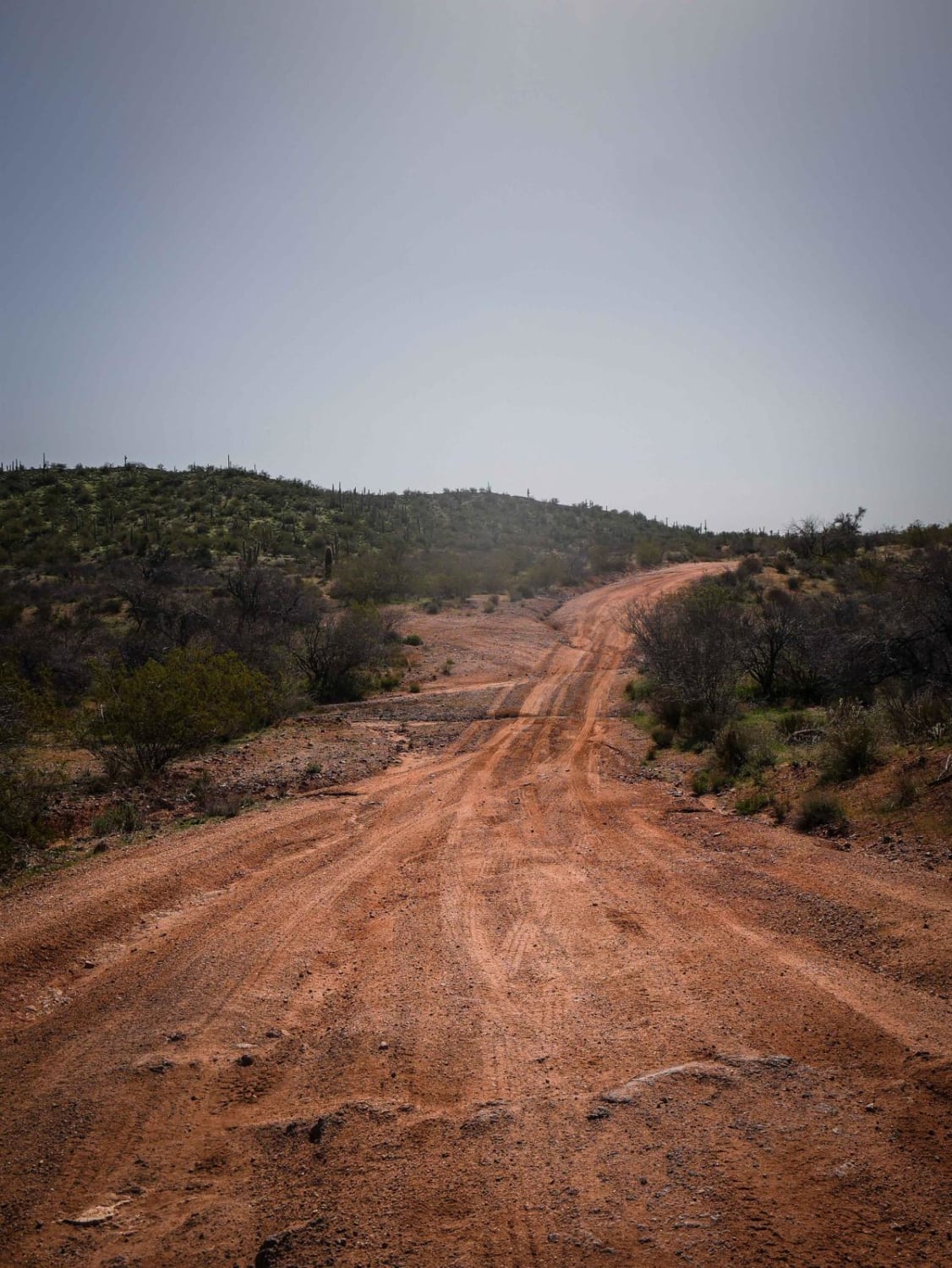
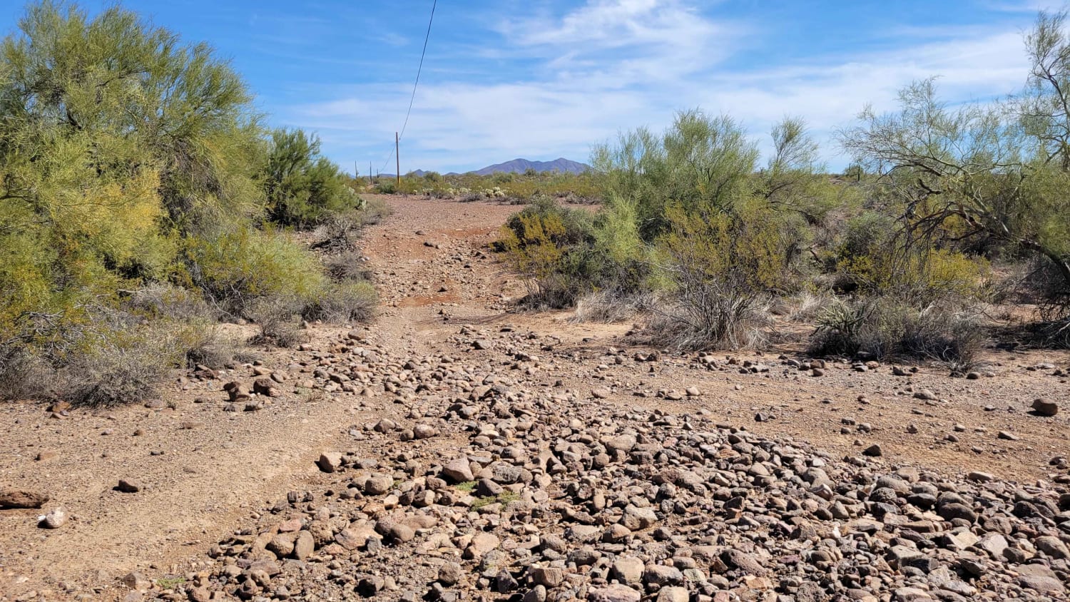
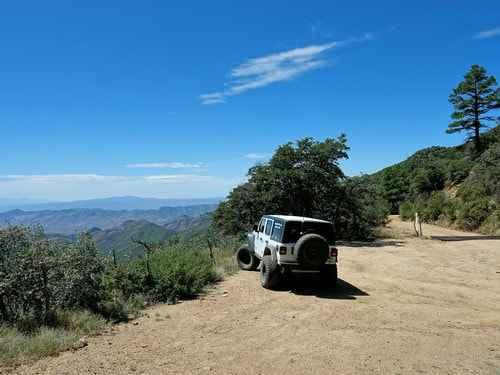
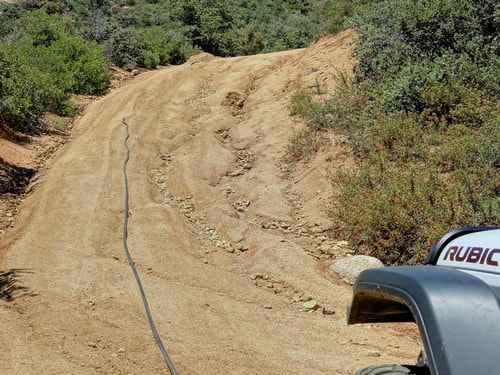
Pioneer Pass starts near the center of Globe, circles the south side of Pinal Peak, and ends on Forest Service Road 651 leading to Pinal Peak. Climb to Pioneer Pass at 6,000' elevation, drop into Pioneer and Bobtail Basins at 5,000' then climb back up to 6,000' on the Pinal Peak Road. An enjoyable ride through a somewhat remote country.Most of this trip is on easy-rated roads, with less than 6 miles rated 3. We ran the most difficult section in August 2019 and met the Forest Service surveying the road. One of the employees told us she expected the road to be improved fairly soon. We did not learn how much of the road or when. This adventure can easily be run in either direction but is described beginning in Globe.The first 5 miles from US 60 are paved. Not long after the pavement ends is the Ice House picnic area, constructed by the CCC.This fairly wide, well-graded road begins in the Pinyon-Juniper Forest at lower elevations and soon turns to beautiful ponderosa pine as you climb higher on the mountain.Pioneer Recreation Area, prior to Pioneer Pass, makes good use of the ponderosa stands.Ponderosa ends abruptly at Pioneer Pass as the southern exposure appears to be too hot and dry.The road stays high for over a mile beyond the pass and offers great long-distance vistas.The 3 difficulty section is not hard, but it is quite a bit slower because of numerous eroded gullies both down and across the road. Perhaps it will have been rebuilt by the time you get there, perhaps.The road continues up and down across the countryside, still with nice views into the distance. A sharp eye can pick out Magma Mine (Resolution Copper) near Superior.This must be water for wildlife. There is a cement ramp up to the edge of the tank and then a metal one down into it.
Photos of Pioneer Pass
Difficulty
Most of this trip is on graded roads, with less than 6 miles rated 3.
Status Reports
Pioneer Pass can be accessed by the following ride types:
- High-Clearance 4x4
- SUV
- SxS (60")
- ATV (50")
- Dirt Bike
Pioneer Pass Map
Popular Trails

North Vulture Peak Road

Cactus Express

AZ Peace Trail Spur to Chloride

X Marks the Spot from Linda Mine
The onX Offroad Difference
onX Offroad combines trail photos, descriptions, difficulty ratings, width restrictions, seasonality, and more in a user-friendly interface. Available on all devices, with offline access and full compatibility with CarPlay and Android Auto. Discover what you’re missing today!

