Porcupine Climb
Total Miles
4.8
Technical Rating
Best Time
Spring, Summer, Fall
Trail Type
Full-Width Road
Accessible By
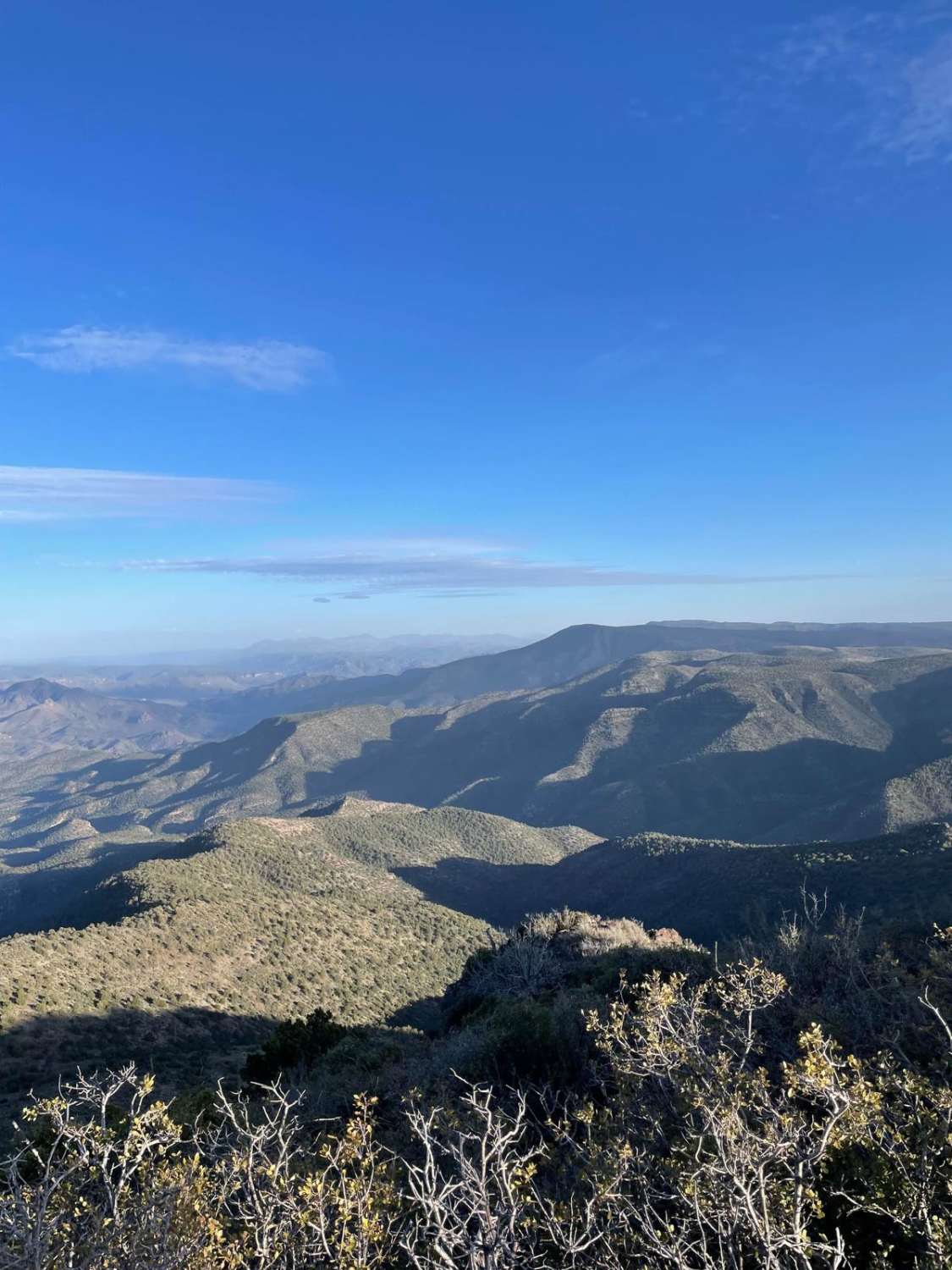
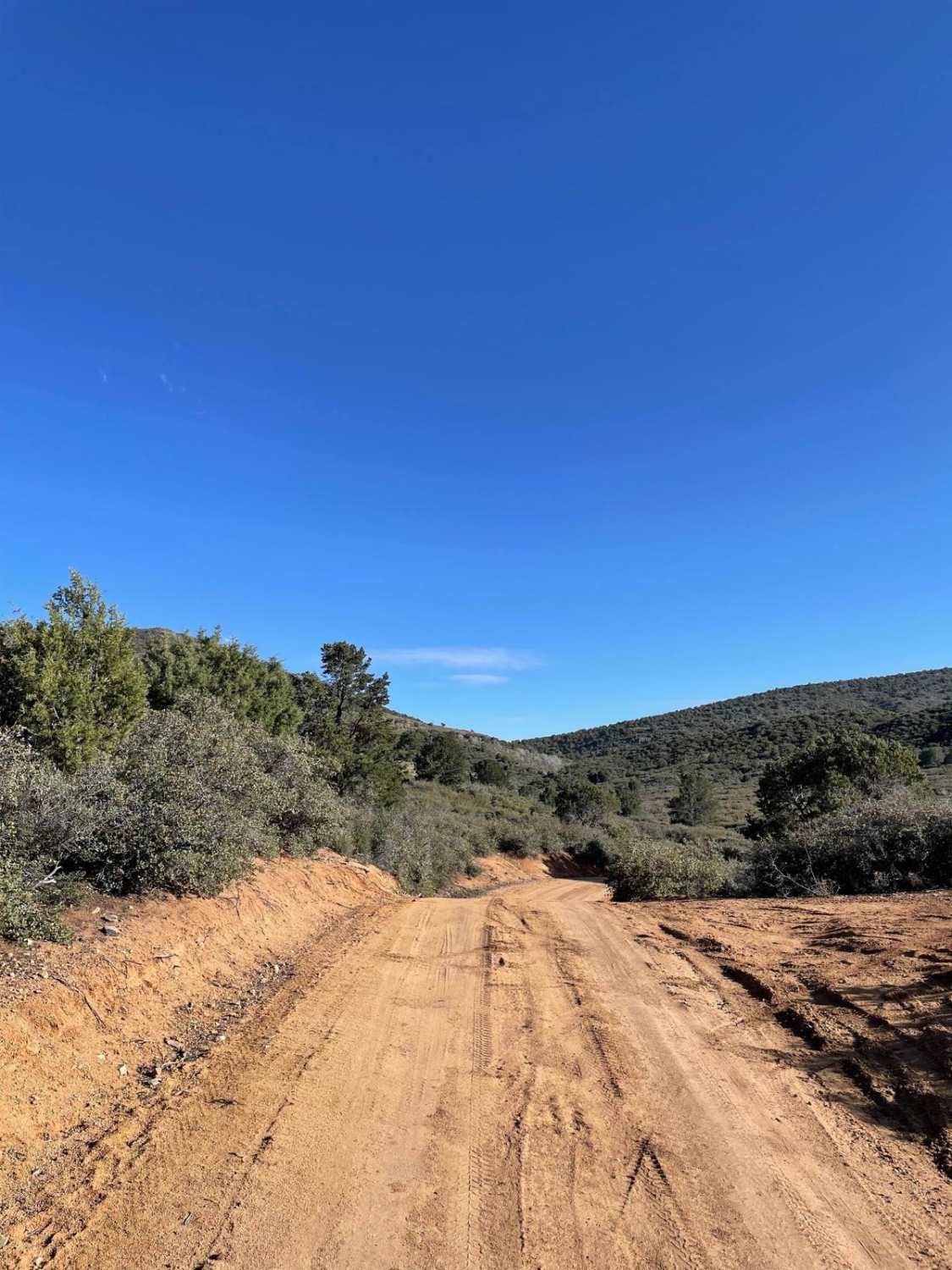
Trail Overview
Getting to the top of Porcupine Mountain is the objective of this trail. This road starts right next to private property on your left and then the climb starts almost immediately. Most of this trail is constantly bumpy due to the uneven dirt road surface. The first climb starts with two sharp switchbacks that are around 10 to 12-degree slopes. Once you are past these switchbacks, the trail climbs gently past a tank and slowly goes on top of a small flat hill. You will pass a spur trail to East Cienega Tank, and then the road starts to gain elevation quickly. The road starts to have sneaky rocks on the surface and becomes more rutted and uneven. The ruts are big enough that speed needs to be reduced. There were several hub caps on the side of the trail due to the uneven trail surface. The final ascent to Porcupine Mountain has 3 rocky switchbacks that are pretty steep, ranging from 13 to 14-degree slopes. These switchbacks are sharp turns as well, so keep your eyes on the road. After the switchbacks, you are rewarded with the sight of radio and cellular towers that mark the end of the trail. This is a great place to park and look around at the incredible views in all directions. Once you have parked your rig by the towers, you will have climbed just shy of 1,500 feet in elevation. This trail is not recommended during rain or snow. High-clearance 2WD vehicles can make this trail. High-clearance 4WD will be required if the trail has any sort of moisture on its surface.
Photos of Porcupine Climb
Difficulty
Expect an uneven, rutted dirt trail with steep grades.
Status Reports
Porcupine Climb can be accessed by the following ride types:
- High-Clearance 4x4
- SUV
- SxS (60")
- ATV (50")
- Dirt Bike
Porcupine Climb Map
Popular Trails
Boulder Creek
Whipple Obervatory Rally

Pozo Nuevo Road

Approach Angle Issues
The onX Offroad Difference
onX Offroad combines trail photos, descriptions, difficulty ratings, width restrictions, seasonality, and more in a user-friendly interface. Available on all devices, with offline access and full compatibility with CarPlay and Android Auto. Discover what you’re missing today!