Powerline Problem
Total Miles
2.2
Technical Rating
Best Time
Spring, Summer, Fall
Trail Type
Full-Width Road
Accessible By
Trail Overview
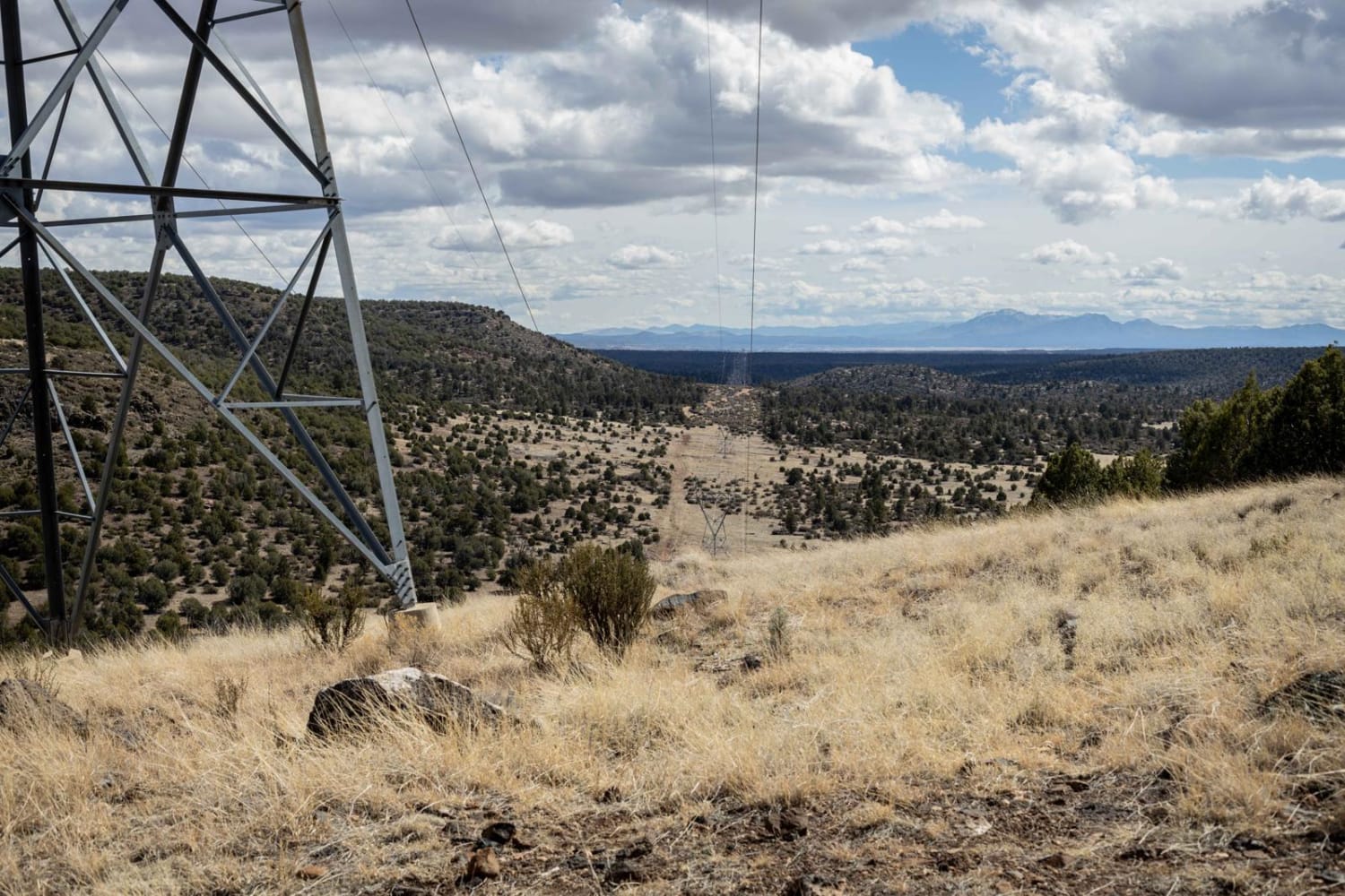
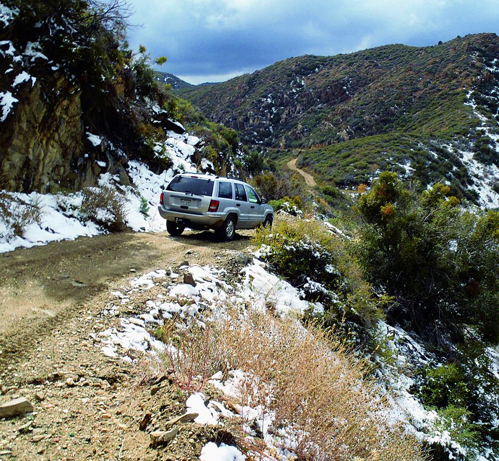
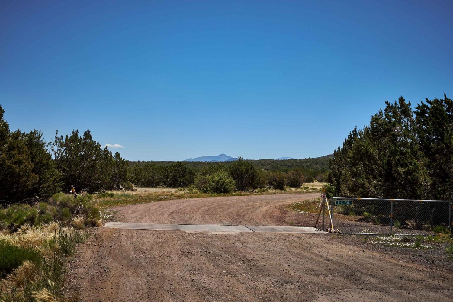
The Powerline trail system through the Prescott National Forest has been just that: a problem. From locked gates to inaccessible areas, this section of trail is one of the rougher sections mapped thus far. Rocks, erosion, and wash crossings, with steep long climbs and declines, this section must be driven with caution. No cell service is available out here, so offline maps are recommended. This trail is primarily rock, with larger, couch-cushion-sized obstacles pocking the entire trail. While the base map suggests a steep downhill, this section of trail ends with a dead end/reclaimed section at its southern end that does not connect to the rest of the sections even though they are in sight. Along this trail, you'll find evidence of elk, deer, antelope, and many species of birds that make this area of the National Forest home.
Photos of Powerline Problem

Difficulty
This is an unmaintained rough and rocky trail that could change over time, becoming more rough and filled with loose rock. The wash crossings may present a problem after a rain or snow event.
Status Reports
Powerline Problem can be accessed by the following ride types:
- High-Clearance 4x4
- SUV
- SxS (60")
- ATV (50")
- Dirt Bike
Powerline Problem Map
Popular Trails
Hualapai Mountains

Willow Springs Road

Canal Upper East
The onX Offroad Difference
onX Offroad combines trail photos, descriptions, difficulty ratings, width restrictions, seasonality, and more in a user-friendly interface. Available on all devices, with offline access and full compatibility with CarPlay and Android Auto. Discover what you’re missing today!