Rabbits Edge
Total Miles
5.1
Technical Rating
Best Time
Spring, Summer, Fall
Trail Type
Full-Width Road
Accessible By
Trail Overview
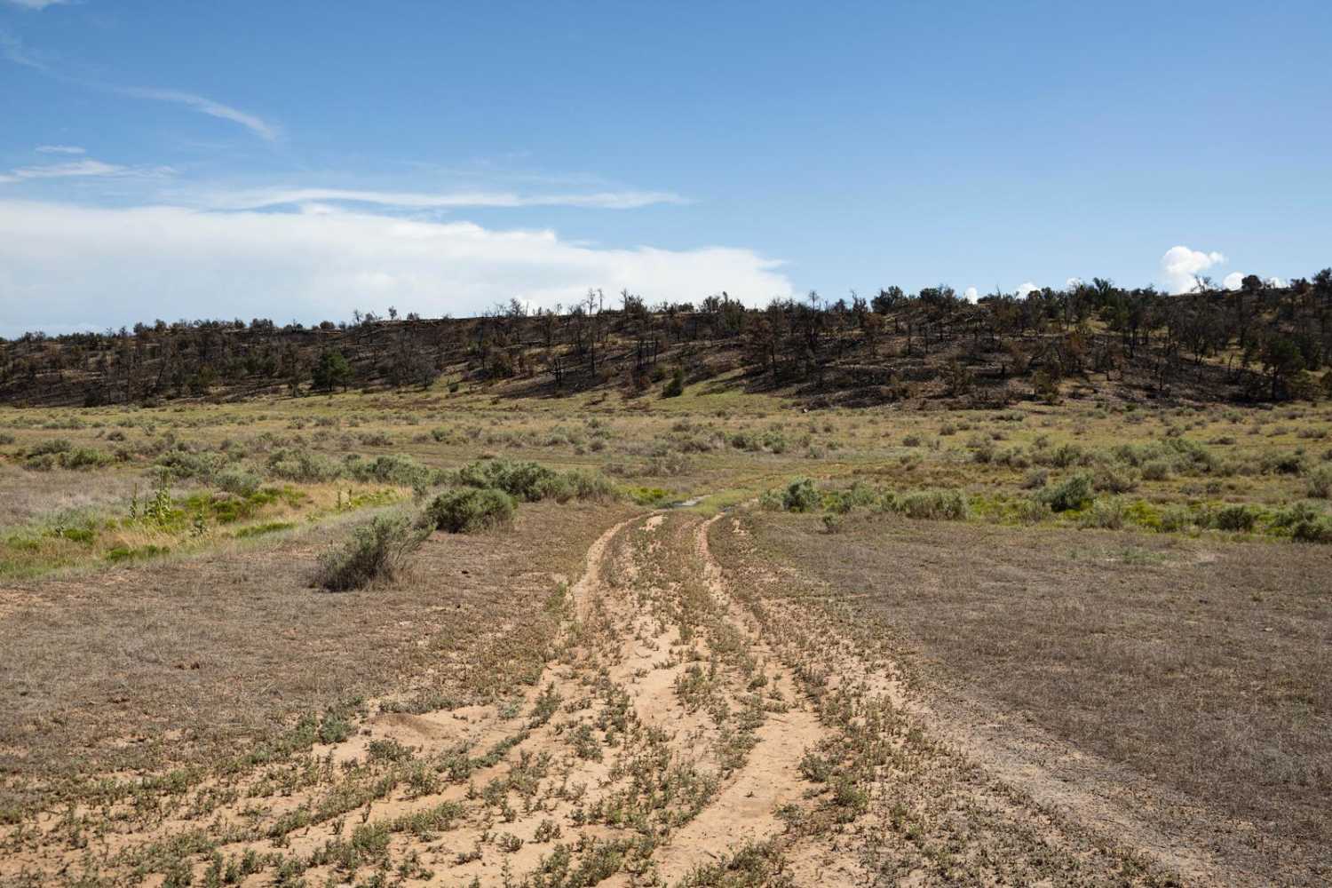
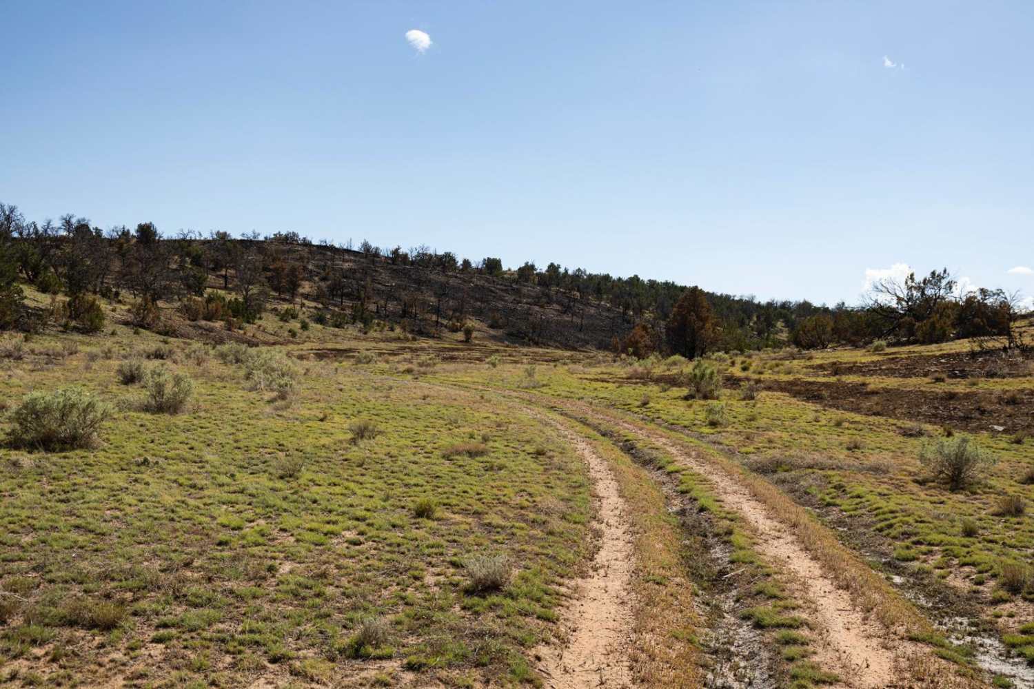
Rabbits Edge Trail is named for the Rabbit Fire, a wildfire that burned in this area in July of 2024. It starts off of the Lockwoods Escape trail in a beautiful canyon. The Rabbits Edge Trail goes up a side canyon, along the burn scar, to the top of the nearby plateau. This trail is rocky and mostly flat, there are no major obstacles along this trail. There is no cell service in the area, so offline maps are recommended for getting around this area. This trail is an out-and-back, with plenty of views in all directions once up on the plateau. There's room for camping, and you might see deer, elk, and antelope in the area. It's a great area to watch the clouds roll by.
Photos of Rabbits Edge
Difficulty
This is a one-lane out-and-back dirt trail. There is one short steep hill climb coming out of the canyon to get up onto the plateau. The trail is unmaintained, and sections of it have been damaged/used by wildfire crews working on a local fire that burned in July of 2024. Parts of this trail may become hazardous or challenging after or during a monsoon event.
Status Reports
Rabbits Edge can be accessed by the following ride types:
- High-Clearance 4x4
- SUV
- SxS (60")
- ATV (50")
- Dirt Bike
Rabbits Edge Map
Popular Trails

Hot Springs Road
Putz Cemetery and Superior View

Grass Mine Trail
Three Corners
The onX Offroad Difference
onX Offroad combines trail photos, descriptions, difficulty ratings, width restrictions, seasonality, and more in a user-friendly interface. Available on all devices, with offline access and full compatibility with CarPlay and Android Auto. Discover what you’re missing today!