Red Pockets Road & Poverty Cabin (1081)
Total Miles
5.9
Technical Rating
Best Time
Summer, Fall, Spring
Trail Type
Full-Width Road
Accessible By
Trail Overview
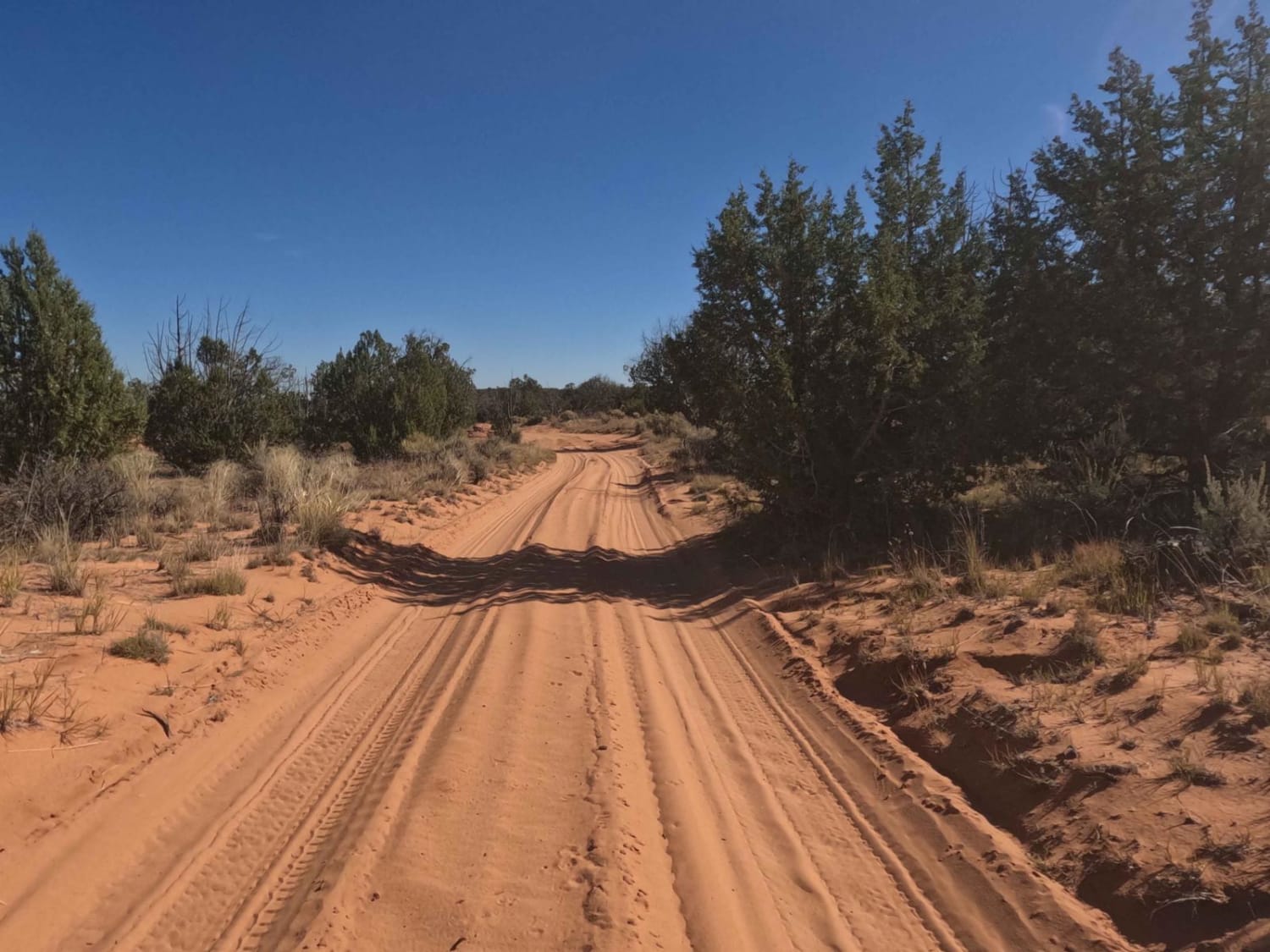
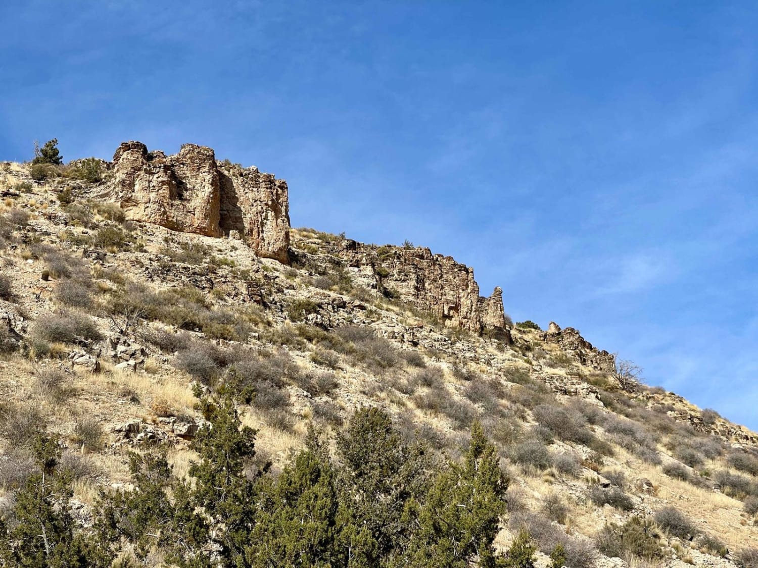
Red Pocket Roads is a fun way to traverse toward White Pockets off the main road and is a 5.9-mile point-to-point trail rated 3 of 10 located within the Vermillion Cliffs National Monument. It is aptly named for the red rock formations that are adjacent to the adjoining Ladder Reservoir Road but clearly visible along this road. The trail consists primarily of a sand track generally no more than 6 inches deep. The trail runs from Pine Tree Road-BLM1017 on the south to the intersection with Paw Hole, Sandhill Loop, and Cottonwood Cove. Most users of this trail are heading towards Coyote Buttes South and the Cottonwood Cove Teepees trailhead. On the north end, there is a cabin and homesite that is representative of the cabins used by poorer settlers to stay and tend a rancher's livestock during the summer months. Please be respectful and mindful of the cultural and historical significance of these structures. Approximately 3 miles from the south end there is a cattle gate (leave it as you found it). This trail can be driven by a high-clearance 2WD vehicle but it is not advised by the BLM. Recovery from this area is difficult and expensive. Be advised that this is a remote area and although very popular in the late spring and fall, it can be very hot in the summer and very cold in the winter. There is no cell service in this area. The nearest services are in Kanab or Big Water to the north and there is fuel in Jacobs Lake to the south.
Photos of Red Pockets Road & Poverty Cabin (1081)

Difficulty
This is a sandy trail but easily navigable by most properly equipped vehicles. This is an area for a full 4WD vehicles and not an AWD vehicle. Some areas of deep sand may require you to air down to traverse. In the winter, this area is open unless there has been recent snow. The area can become very difficult and there is limited communications out should you become disabled.
Status Reports
Red Pockets Road & Poverty Cabin (1081) can be accessed by the following ride types:
- High-Clearance 4x4
- SUV
- SxS (60")
- ATV (50")
- Dirt Bike
Red Pockets Road & Poverty Cabin (1081) Map
Popular Trails

Access Single Track
Saint George Canyon 1034
Conklin Spring Road - Forest Road 68

Klothos Southwest Eastern Spur
The onX Offroad Difference
onX Offroad combines trail photos, descriptions, difficulty ratings, width restrictions, seasonality, and more in a user-friendly interface. Available on all devices, with offline access and full compatibility with CarPlay and Android Auto. Discover what you’re missing today!