Reserve Bank Mine Trail
Total Miles
1.2
Technical Rating
Best Time
Spring, Fall, Winter
Trail Type
Full-Width Road
Accessible By
Trail Overview
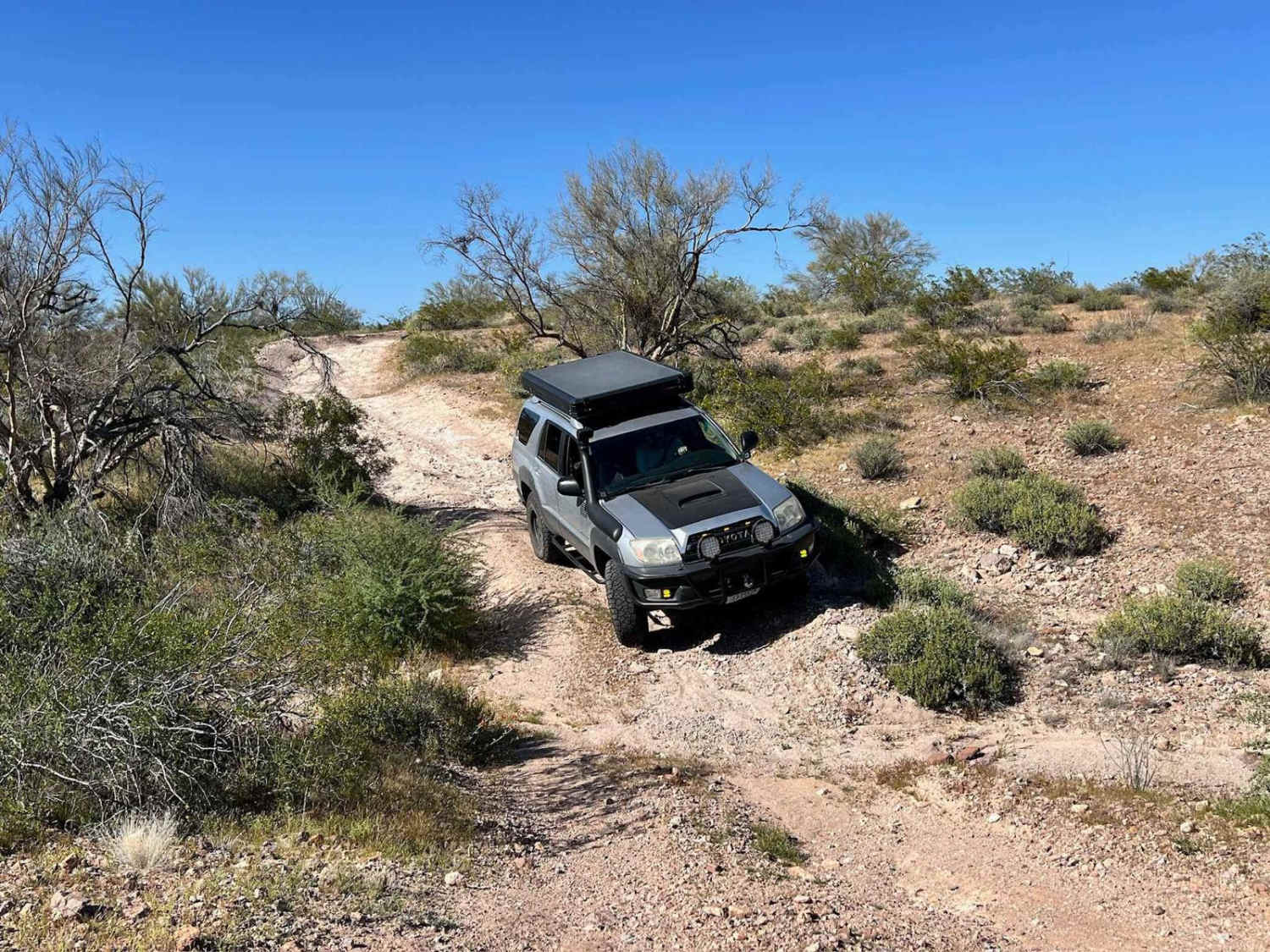
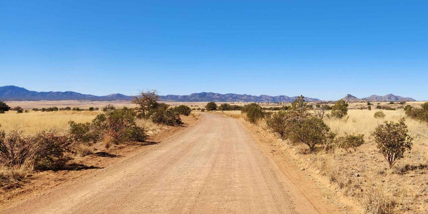
This trail is an excellent option to cut across the hills over to another great network of trails. It's generally easy with some tight sections. There are loose rocky hill climbs, slight off-camber sections, and the occasional rutted hill climb or descent. In spring, the area bursts with wildflower colors and diverse green plant life. As you near the mine area, keep your speed down for dust, and there is no stopping or parking near the active mine. Be courteous, as the folks who work here, live here. A kind wave and a hello will assist in keeping this trail open. There appears to be no camping along this route, but other options are closer to the tarmac. Plenty of cholla cacti are close to the trail's edge and just waiting to hitch a ride on the side wall of your tires. The cell service is spotty at best, so be sure to download your offline maps and be ready for desert conditions with plenty of water and extra supplies.
Photos of Reserve Bank Mine Trail
Difficulty
This trail is generally easy, with a few loose rocky hill climbs and descents. Some hills are rutted and have slight off-camber transitions. The sharp desert plants threaten paint jobs at every turn and narrow sections.
Status Reports
Reserve Bank Mine Trail can be accessed by the following ride types:
- High-Clearance 4x4
- SUV
- SxS (60")
- ATV (50")
- Dirt Bike
Reserve Bank Mine Trail Map
Popular Trails
Stop Playing in the Sand
Cottonwood - Telegraph
Klothos Temples Loop
Patagonia Loop
The onX Offroad Difference
onX Offroad combines trail photos, descriptions, difficulty ratings, width restrictions, seasonality, and more in a user-friendly interface. Available on all devices, with offline access and full compatibility with CarPlay and Android Auto. Discover what you’re missing today!

