Salida Connection
Total Miles
2.6
Technical Rating
Best Time
Spring, Fall
Trail Type
50" Trail
Accessible By
Trail Overview
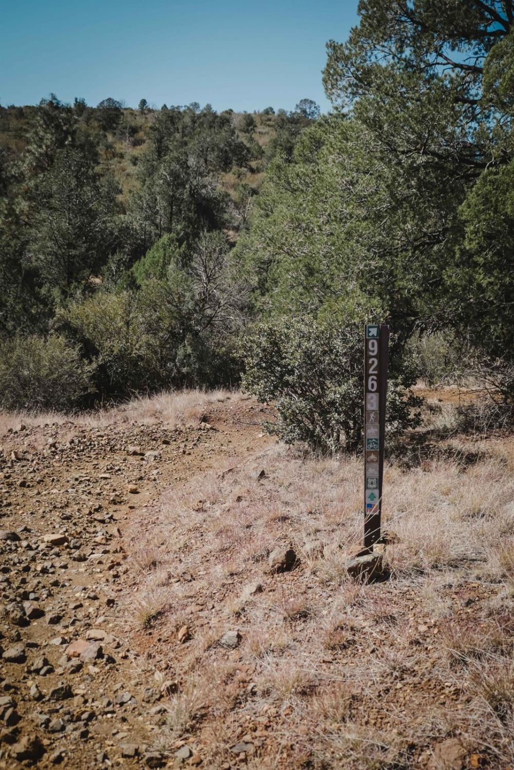
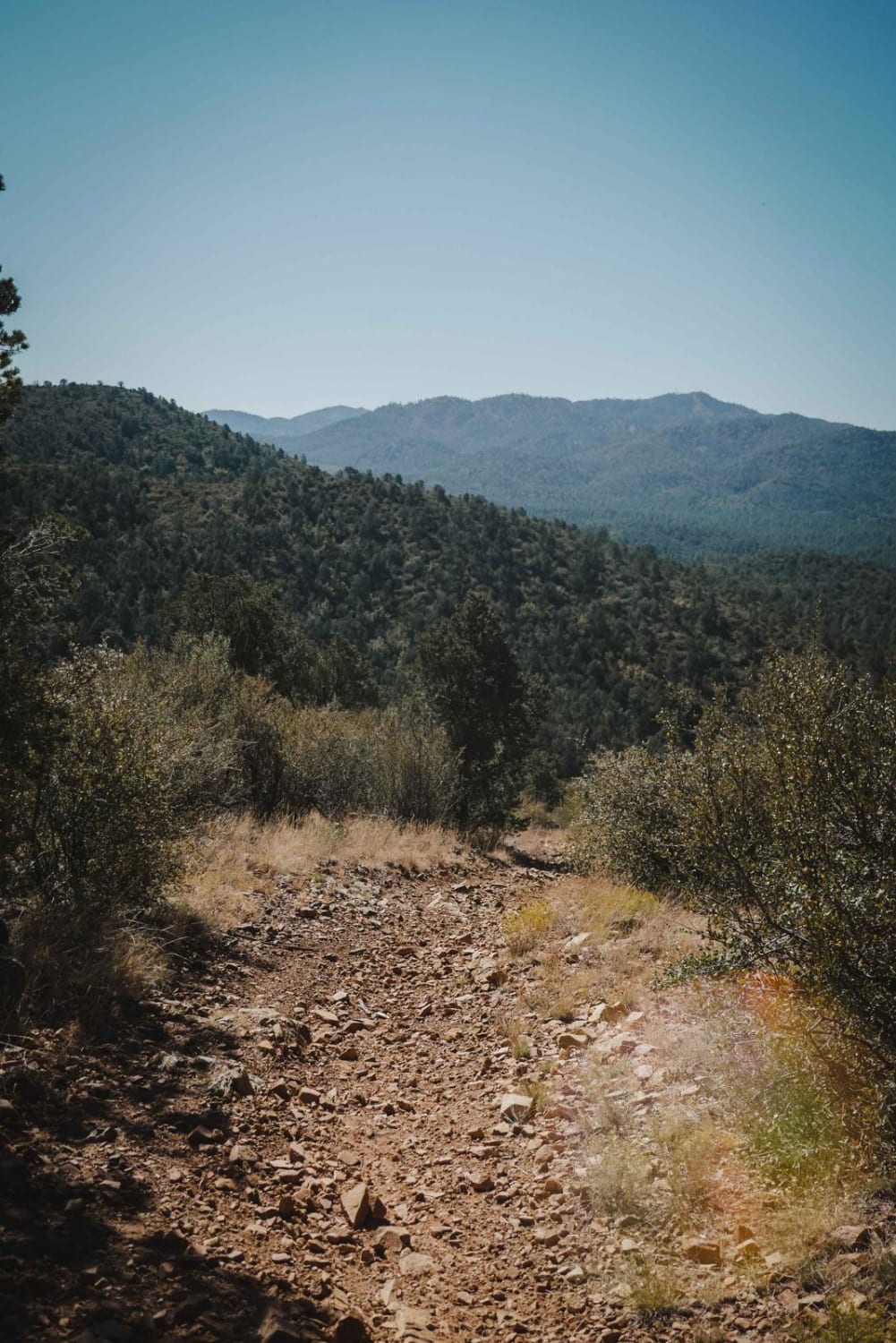
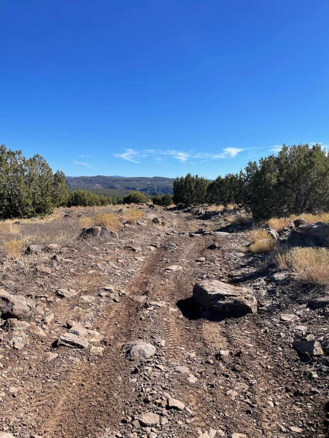
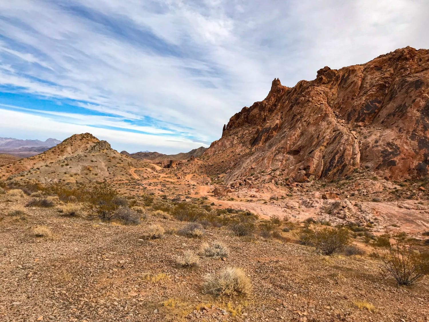
Salida Connection is an intermediate 50-inch trail in the Green Gulch Trail System near Prescott, Arizona. It's a wider two-track, with sections of loose dirt and rock and some steep ascents and descents. There's a section of switchbacks that are not too difficult because they are smooth and wide and not too steep, but they add a challenge to the inexperienced rider. This trail is much easier than the nearby Salida and Nemo Spring ATV trails because this one has fewer sections of rock and more smooth sections that are just gravel and not full of big rocks. It still has sections full of rock, just less of them. The west end of the trail turns into a flat and straight section as it drops down off the mountain, followed by a couple more narrow switchbacks, and ends at a gate at a neighborhood. At the gate, the trail starts as a single track and then gets a little wider as you go. This trail goes through a hot and dry high desert terrain, through oak thickets and juniper trees.
Photos of Salida Connection
Difficulty
This is an intermediate trail for dirt bikes due to so many loose rocks and steep climbs and would be more difficult for ATVs due to the switchbacks. There is one water crossing to be aware of at the parking lot. Be cautious of hiking-only trails in the area; they are clearly marked on the map.
Status Reports
Popular Trails
Grand Gulch Mine and Staircase

Klothos Southwest Eastern Spur
The onX Offroad Difference
onX Offroad combines trail photos, descriptions, difficulty ratings, width restrictions, seasonality, and more in a user-friendly interface. Available on all devices, with offline access and full compatibility with CarPlay and Android Auto. Discover what you’re missing today!
