Shoemaker Connector
Total Miles
1.7
Elevation
781.79 ft
Duration
0.5 Hours
Technical Rating
Best Time
Spring, Fall, Winter
Trail Overview
This 1.7-mile segment of trail runs north-south between 3197 and the Quail Springs Loop in this primitive OHV area near New River, Arizona. This trail is more of a main thoroughfare compared to Shoemaker Springs. It's a wider, well-used road that has some challenges such as deep ruts filled in with loose rocks, and some steeper climbs and descents that are rocky and more technical. Parts of the trail are uneven and off-camber, with embedded rock faces and wash crossings. Some of the harder parts are the steep spots that are full of rocks, some tighter corners, and some bigger off-camber ruts. It has really nice wide open views of the saguaro-filled hills in this area.
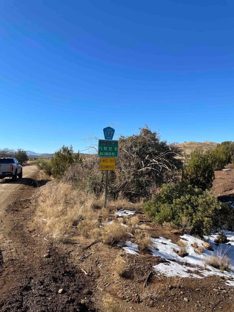
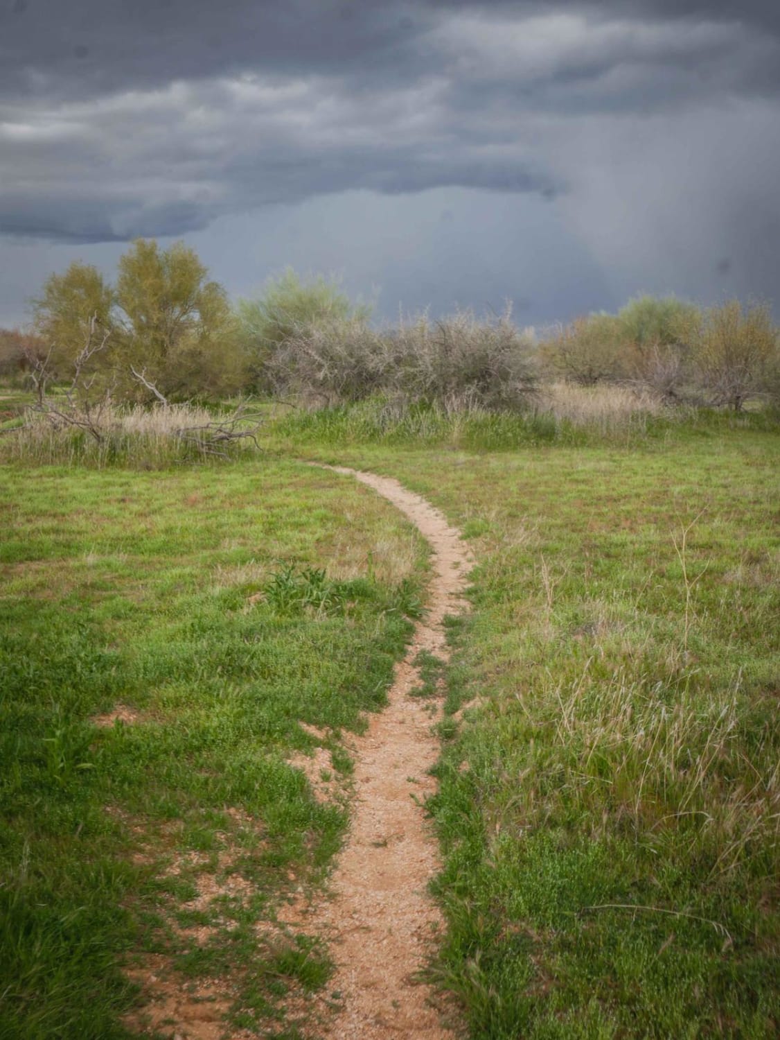
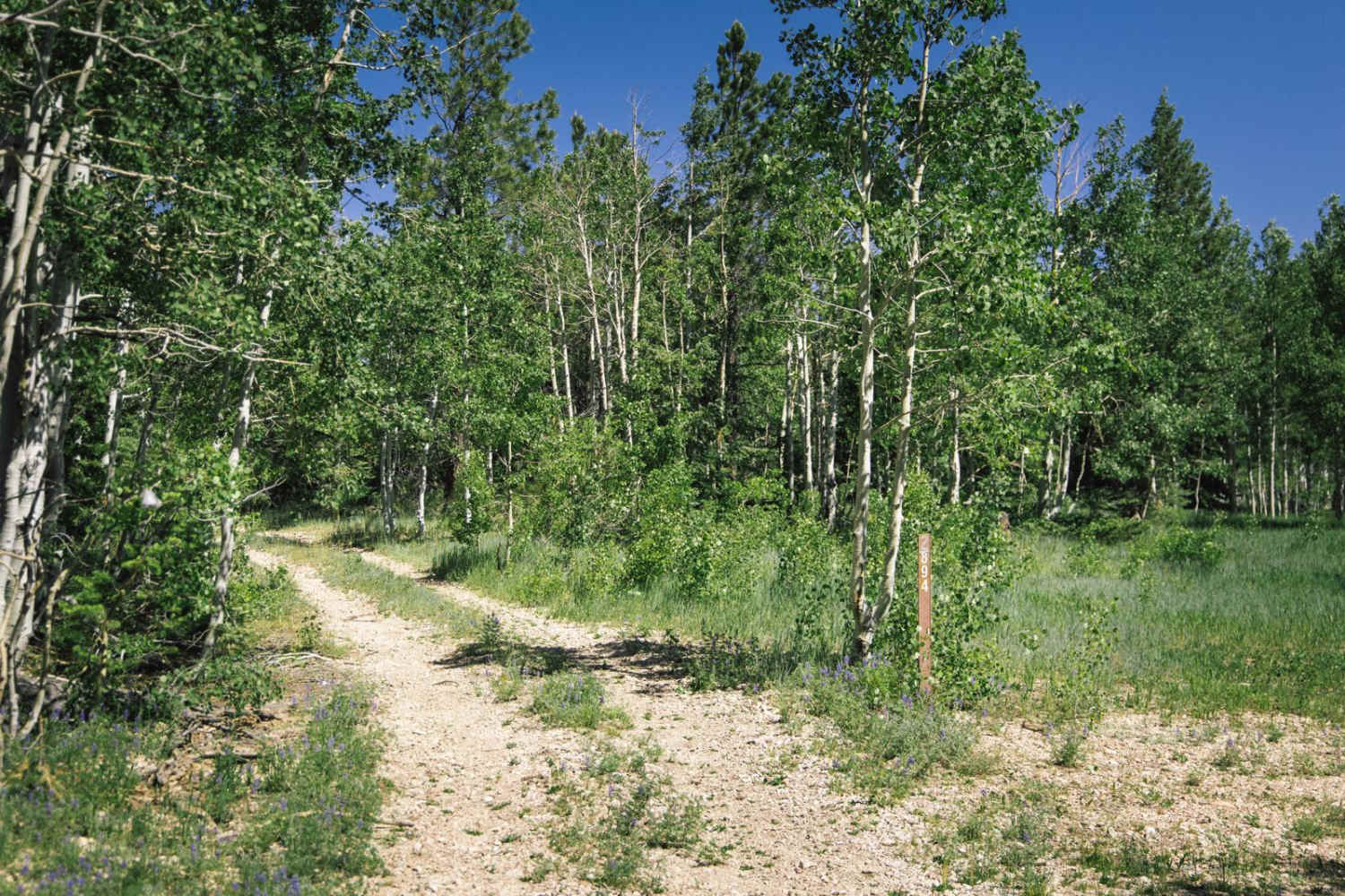
Photos of Shoemaker Connector
Difficulty
This is an intermediate trail due to challenges such as steeper climbs and descents that are full of loose rocks and off-camber sections of road.
Status Reports
Popular Trails

Pine Flats Road

Around Pimberton Hills

Camp Creek Access Single Track
The onX Offroad Difference
onX Offroad combines trail photos, descriptions, difficulty ratings, width restrictions, seasonality, and more in a user-friendly interface. Available on all devices, with offline access and full compatibility with CarPlay and Android Auto. Discover what you’re missing today!


