Slate Mountain Bypass
Total Miles
6.1
Technical Rating
Best Time
Spring, Summer, Fall
Trail Type
Full-Width Road
Accessible By
Trail Overview
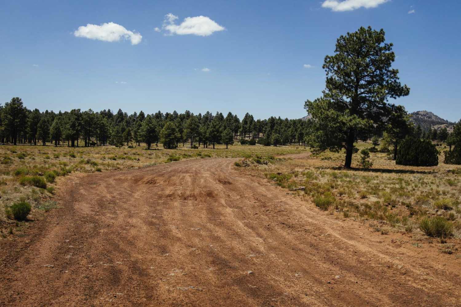
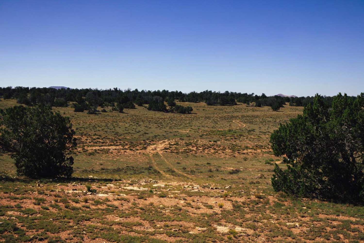
The Slate Mountain Bypass Trail consists of a smooth, wide gravel trail to the East that tapers down to a one-lane rocky trail as you travel Westward. There is a well-marked hiking trailhead along this trail, with a small parking area, so don't be surprised to see traffic, especially on the East side of this trail. There are no obstacles on this trail, but it is lined with downed trees as you progress West, and there is a short steep hill with some holes on the track, so 4lo might be needed. Cell phone reception is intermittent at best along the route so offline maps are recommended.
Photos of Slate Mountain Bypass
Difficulty
This is an unmaintained trail that has some mild obstructions along it. Downed trees and holes in a short steep hill climb might become an issue during a rain or snowstorm.
Status Reports
Popular Trails

Bonelli Landing

AZPT Ligurta Spur to Abandoned Bus Stop

Snake Gulch Rim - BLM191
The onX Offroad Difference
onX Offroad combines trail photos, descriptions, difficulty ratings, width restrictions, seasonality, and more in a user-friendly interface. Available on all devices, with offline access and full compatibility with CarPlay and Android Auto. Discover what you’re missing today!


