South Spur Loop to Oatman
Total Miles
3.6
Technical Rating
Best Time
Spring, Fall
Trail Type
Full-Width Road
Accessible By
Trail Overview
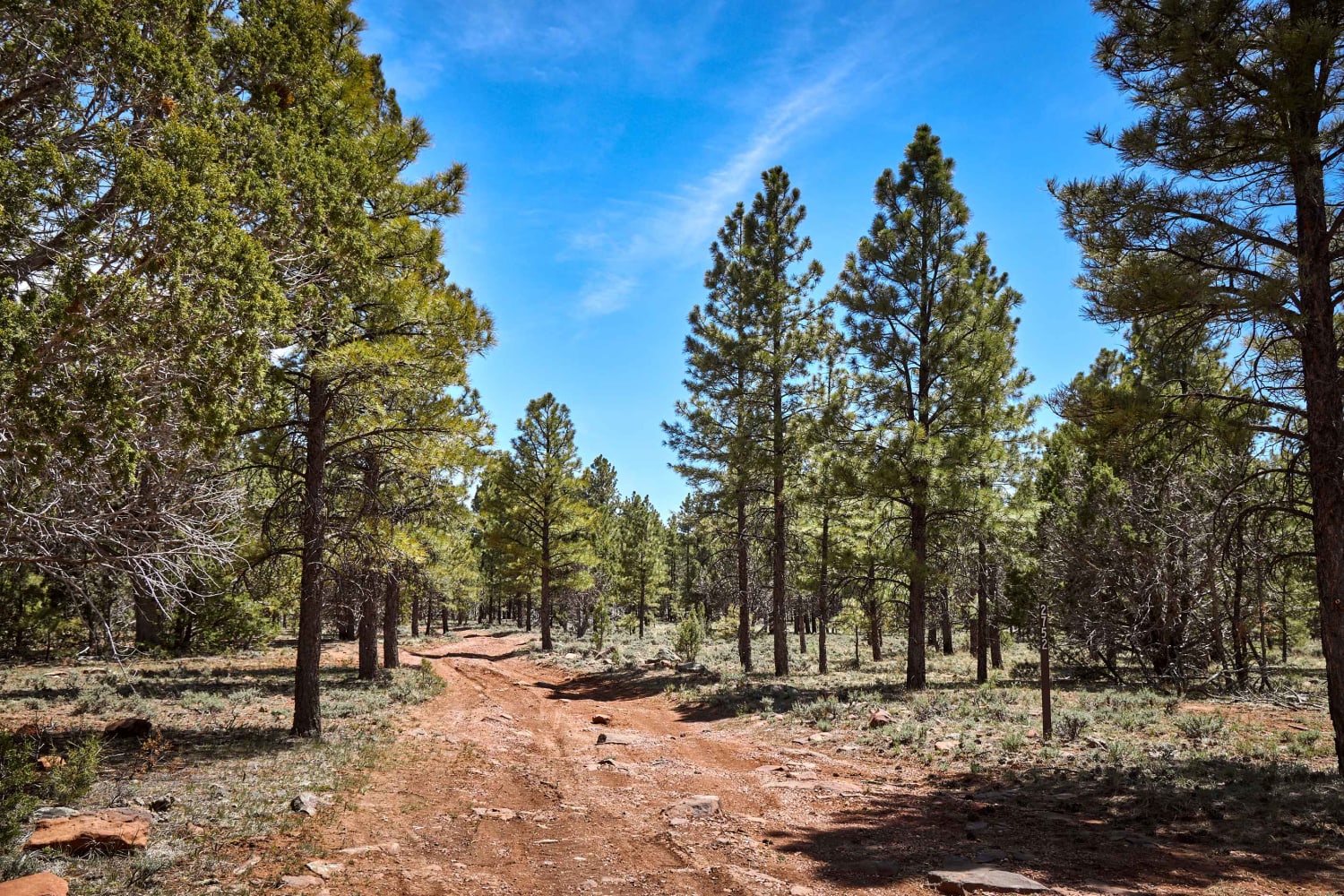
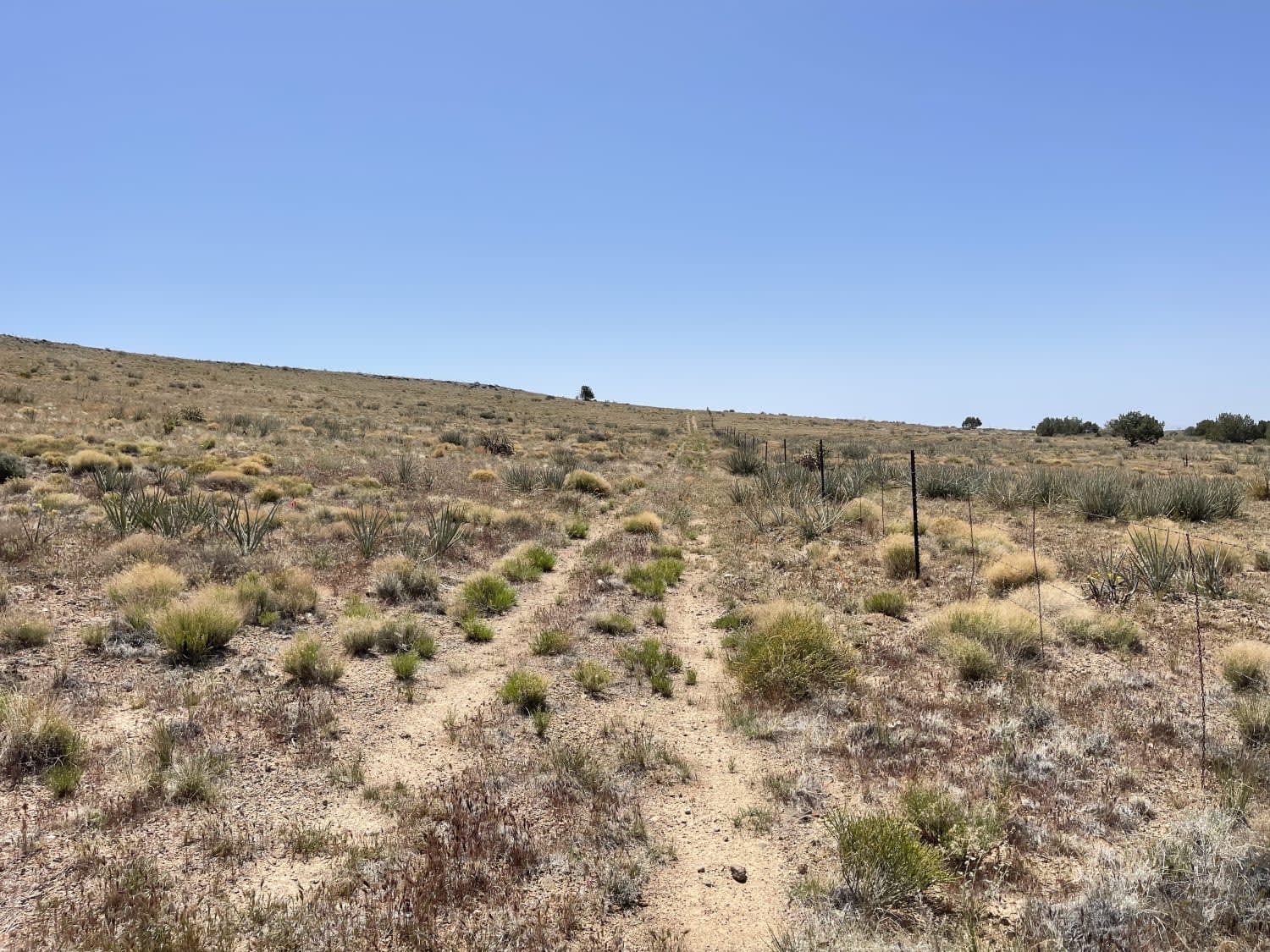
This trail is a spur section of the AZPT trail. One end of the trail has access from Highway 10, close to the town of Oatman. This trail is rocky and bumpy. None of the rocks are difficult obstacles. Navigating the trail requires good tire placement and possibly airing down your tires a bit for comfort. The trail has a narrow, rocky ridgeline section, which is the most complicated, and there are no spots to pass other vehicles. This section would require backing up or down to let other vehicles pass. This trail goes through some private property that is currently open but owned by a horse. It is unclear if it will remain open in the future. There are no fences, though. The end of this trail that has access to the highway has multiple flat campsites that are easy for vans or RVs to get to. It is a popular area for dispersed camping. There is 5G service and views out to the valley. A nice memorial site is just off the beginning of the trail where the highway intersects. It is a neat rock formation with some crosses on it and a large hole in the rock. This area can also get extremely hot in the summer months. Bring extra water and supplies if traveling during the summer.
Photos of South Spur Loop to Oatman
Difficulty
This a narrow trail with some small rocks to drive over or navigate, including one looser rocky grade to go down or up. There are no spots to pass on the narrow ridgeline and backing up for oncoming traffic might be necessary.
Status Reports
South Spur Loop to Oatman can be accessed by the following ride types:
- High-Clearance 4x4
- SUV
- SxS (60")
- ATV (50")
- Dirt Bike
South Spur Loop to Oatman Map
Popular Trails

FS 9201J Climb
The onX Offroad Difference
onX Offroad combines trail photos, descriptions, difficulty ratings, width restrictions, seasonality, and more in a user-friendly interface. Available on all devices, with offline access and full compatibility with CarPlay and Android Auto. Discover what you’re missing today!


