Southern Stroll
Total Miles
3.4
Technical Rating
Best Time
Spring, Summer, Fall
Trail Type
Full-Width Road
Accessible By
Trail Overview
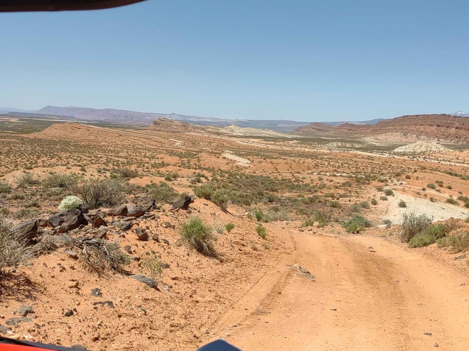
Southern Stroll is a trail that flows beautifully to the south and is lined with creosote. The difference between this and other trails in the area is that this trail has many more washouts, though all have bypasses. Winding and flowy, there are many places to pass even though this trail is only one vehicle wide. With 3 bars of Verizon service, this trail is pretty connected. There are no major obstacles on this trail. This route is on Arizona State Trust Land and requires a yearly permit that can be purchased and printed online. The permits allow certain recreational activities, including camping, bicycling, bird watching, GPS-based recreational activities (geocaching), hiking, horseback riding, off-highway vehicle (OHV) usage, photography, picnicking, and sightseeing.
Photos of Southern Stroll
Difficulty
This road is unmaintained, and though the washouts have bypasses as of early March 2024, these may change with rain or snow events, specifically during monsoon season in Arizona. While the road is not 2 vehicles wide, there are places to pull off to allow vehicles to pass.
Status Reports
Popular Trails

Rocklane Washout

Dutchman Draw #2022

FR228 Water Tank Road North
The onX Offroad Difference
onX Offroad combines trail photos, descriptions, difficulty ratings, width restrictions, seasonality, and more in a user-friendly interface. Available on all devices, with offline access and full compatibility with CarPlay and Android Auto. Discover what you’re missing today!


