Spurline Mine
Total Miles
0.6
Elevation
1,046.63 ft
Duration
0.5 Hours
Technical Rating
Best Time
Spring, Summer, Fall
Trail Overview
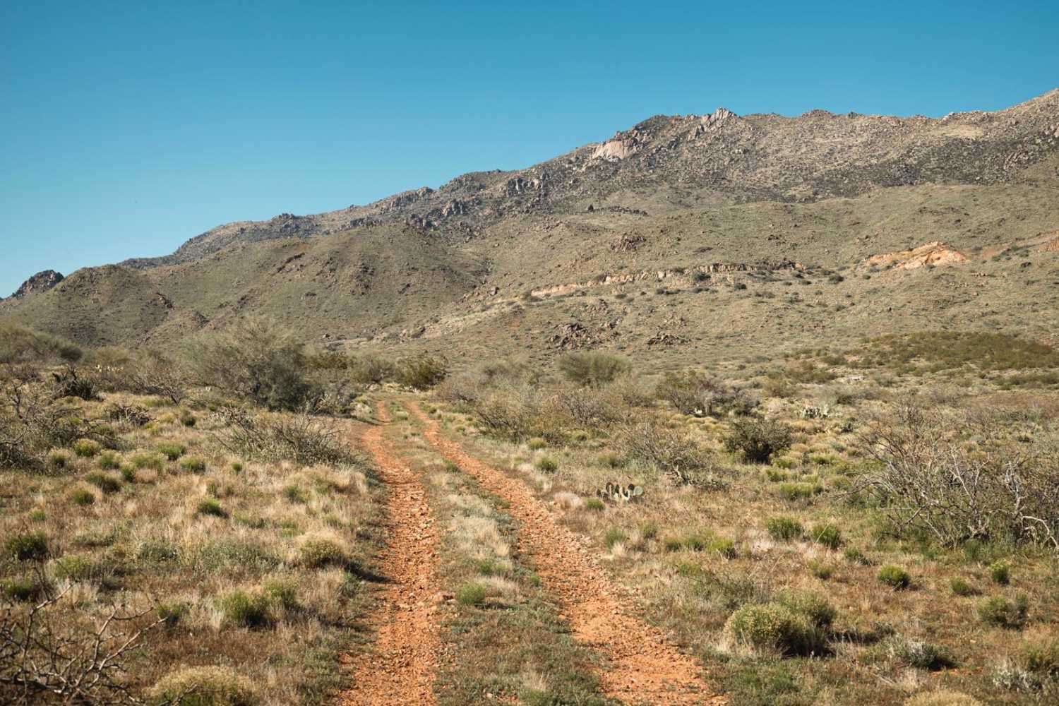
This trail is a spur section off the adjacent trail, "The Uphill." Mellower than "The Uphill", this trail is rock and has minimal challenge. There are no major obstacles on this trail. There is also no cell service, so offline maps are recommended. The trail has an area to camp near the end of it, but since the trail peters out, reclaimed by nature, there isn't much going on up here. This land requires a yearly permit that can be purchased and printed online. The permit allows certain recreational activities, including camping, bicycling, bird watching, GPS-based recreational activities (geocaching), hiking, horseback riding, off-highway vehicle (OHV) usage, photography, picnicking, and sightseeing.
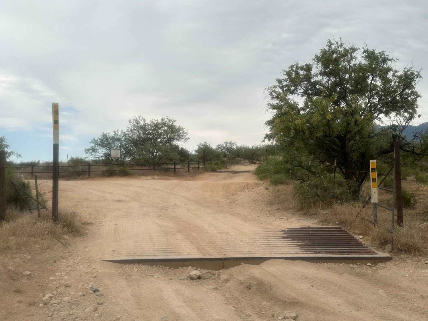
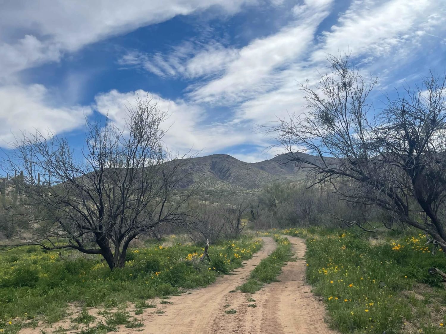
Photos of Spurline Mine
Difficulty
This is an unmaintained old rock mining trail. Mostly one-lane wide, this trail has no obstacles, but the runoff and erosion sections might pose problems if visited after a rain event.
Status Reports
Popular Trails

Three Feathers Playground

Pipeline Camp Spur

71 Powerlines to the Railroad
The onX Offroad Difference
onX Offroad combines trail photos, descriptions, difficulty ratings, width restrictions, seasonality, and more in a user-friendly interface. Available on all devices, with offline access and full compatibility with CarPlay and Android Auto. Discover what you’re missing today!


