Squeeze Me Gently
Total Miles
17.8
Technical Rating
Best Time
Spring, Fall, Summer
Trail Type
High-Clearance 4x4 Trail
Accessible By
Trail Overview
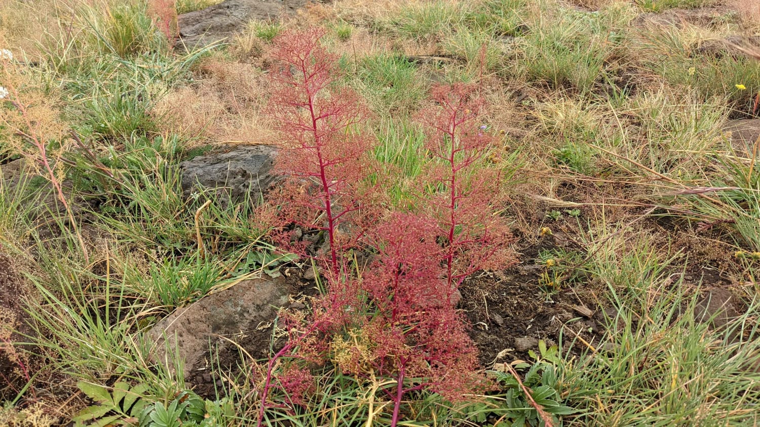
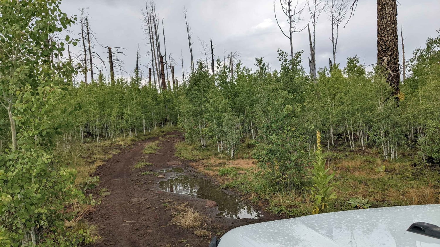
This trail has it all, including climbs, descents, lush forests, open meadows, and beautiful views, with elevations changing over 1,000 feet and exceeding 9,300 feet! There is a section of the trail where there is significant new growth and fallen timber from the Wallow Fire that devastated part of the area back in 2011. Despite the scarring, the trail is very interesting and beautiful most of the way with lots of new growth and open vistas. The trail ranges from rocky with significant descents, to narrow passages with dense new growth, to nice overland dirt roads. There are stretches where high clearance is needed. Bringing a chainsaw along may prove beneficial. Along the route, there is a high probability of seeing elk, deer, turkey, and other wildlife. This is a popular area in hunting season. The road is primarily dirt and can be rocky at times, but the final stretch is a well-used dirt road. There is a potential for mud holes after heavy rain although there are no normal water crossings. It's not recommended in winter if there is snow or ice present as good visibility of the trail is required.
Photos of Squeeze Me Gently
Difficulty
Most of the difficulty will come from higher berms created to prevent erosion and the potential for fallen tree obstacles on the trail.
Status Reports
Squeeze Me Gently can be accessed by the following ride types:
- High-Clearance 4x4
- SxS (60")
- ATV (50")
- Dirt Bike
Squeeze Me Gently Map
Popular Trails
Brown Canyon Trail
Palm Canyon Road

P5004B - Pickaxe
Lower Challenging Red Raven
The onX Offroad Difference
onX Offroad combines trail photos, descriptions, difficulty ratings, width restrictions, seasonality, and more in a user-friendly interface. Available on all devices, with offline access and full compatibility with CarPlay and Android Auto. Discover what you’re missing today!
