Strawberry to Pine
Total Miles
6.7
Technical Rating
Best Time
Fall, Summer, Spring
Trail Type
Full-Width Road
Accessible By
Trail Overview
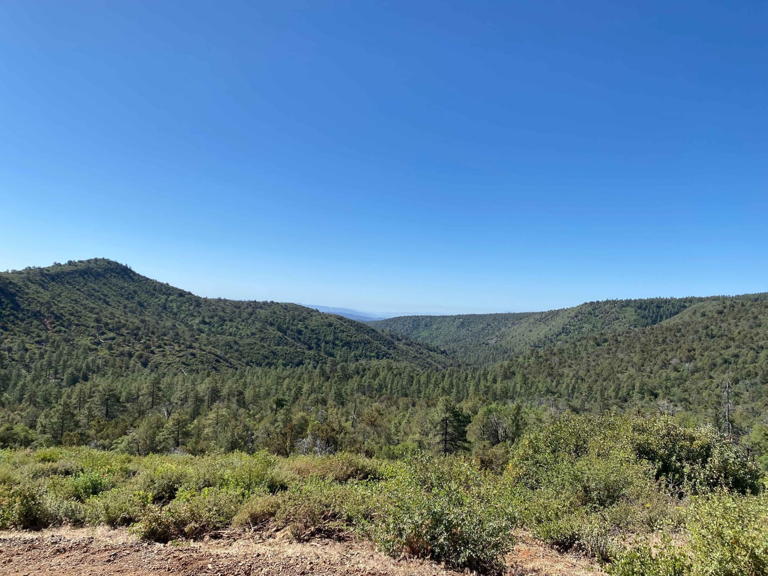
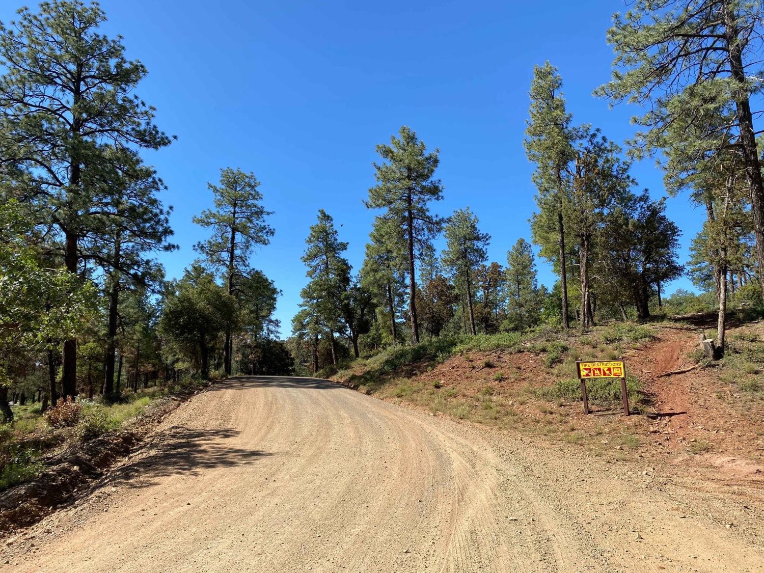
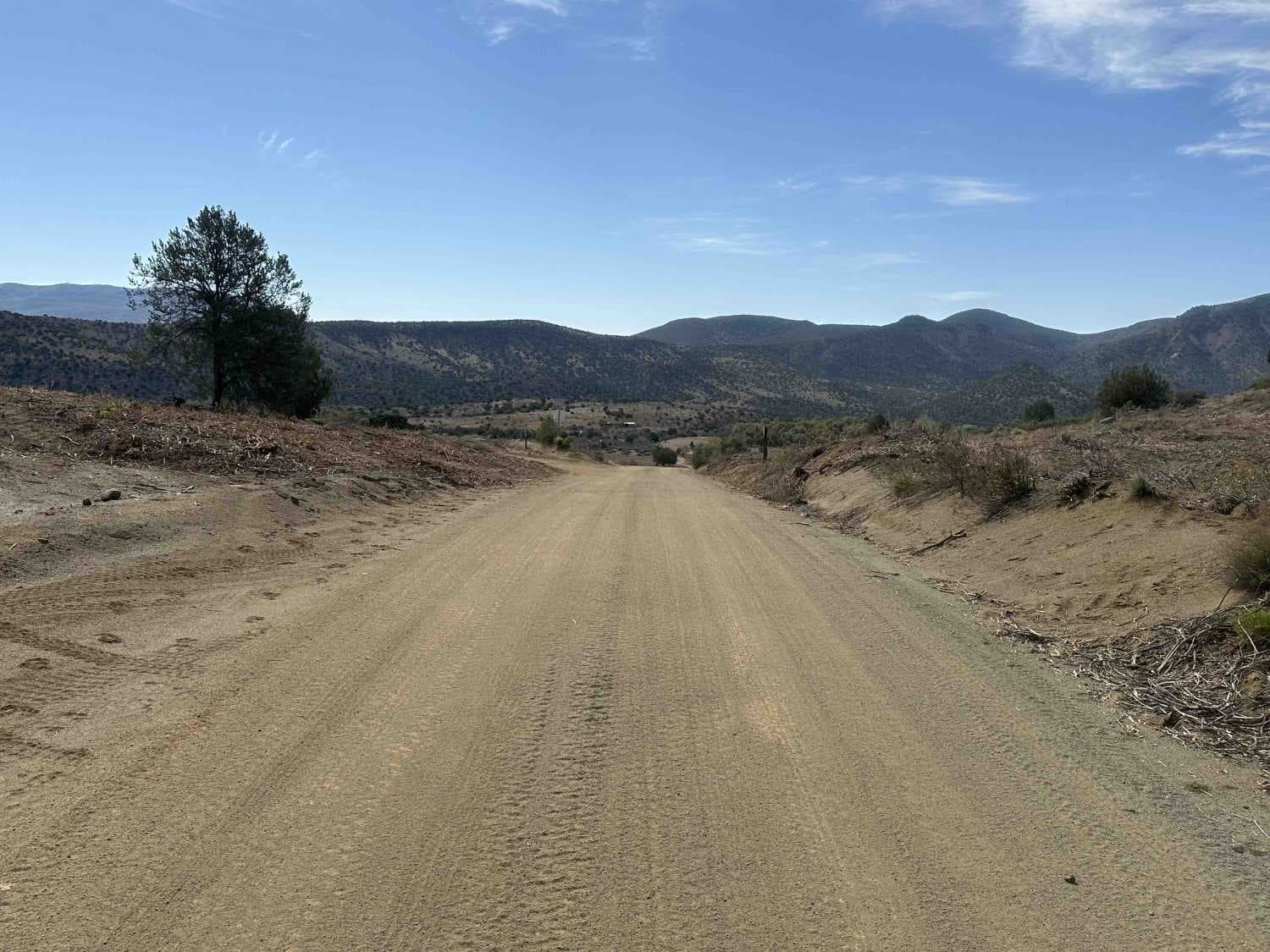
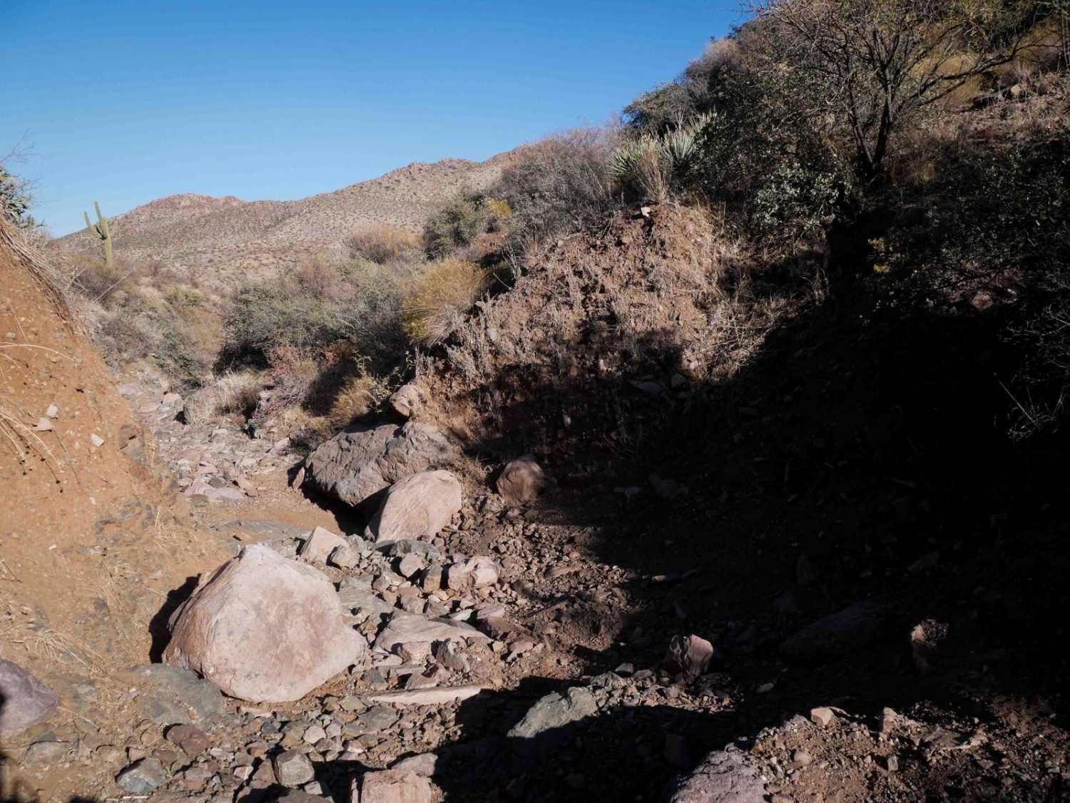
This dirt trail connects the small mountain towns of Pine and Strawberry. It starts smoothly from Pine but is a series of switchbacks gaining some elevation. There is a popular hiking trail a quarter mile in and some stunning views at the top of the switchbacks overlooking the valley. The trail continues into the forest, and there are several dispersed campsites one can spot along the trail. The surface is rutted in the shady areas, and there are a few little rocky sections. The closer the trail gets to Strawberry, the more it opens up with grassy fields and cow watering tanks. Keep an eye out for livestock; it is an open range. Both ends of the trail begin in residential neighborhoods. There are some excellent Airbnb rental options if you're looking for a weekend stay. Local breweries and quirky craft shops are close to each end of the trail and would be a fun stop for lunch after exploring.
Photos of Strawberry to Pine
Difficulty
This trail is mostly easy with room to pass oncoming traffic and some light rocky sections. Overall it's easy but could be muddy when wet
Status Reports
Strawberry to Pine can be accessed by the following ride types:
- High-Clearance 4x4
- SUV
- SxS (60")
- ATV (50")
- Dirt Bike
Strawberry to Pine Map
Popular Trails

Arrastra Creek

FS 126 to FS 125
The onX Offroad Difference
onX Offroad combines trail photos, descriptions, difficulty ratings, width restrictions, seasonality, and more in a user-friendly interface. Available on all devices, with offline access and full compatibility with CarPlay and Android Auto. Discover what you’re missing today!


