Sullivan Tank
Total Miles
2.0
Technical Rating
Best Time
Spring, Summer, Fall
Trail Type
Full-Width Road
Accessible By
Trail Overview
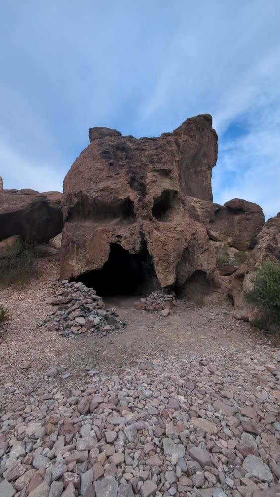
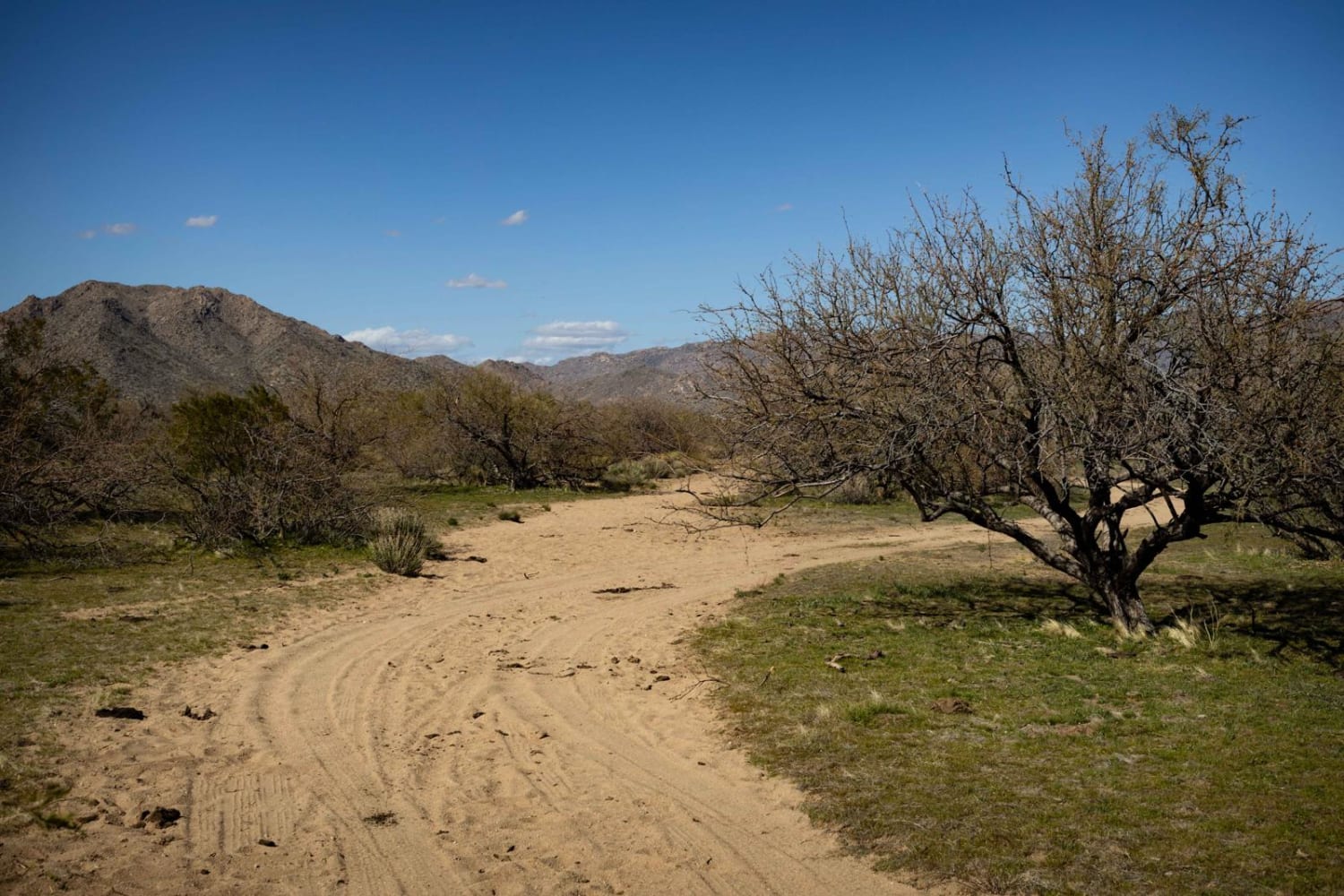
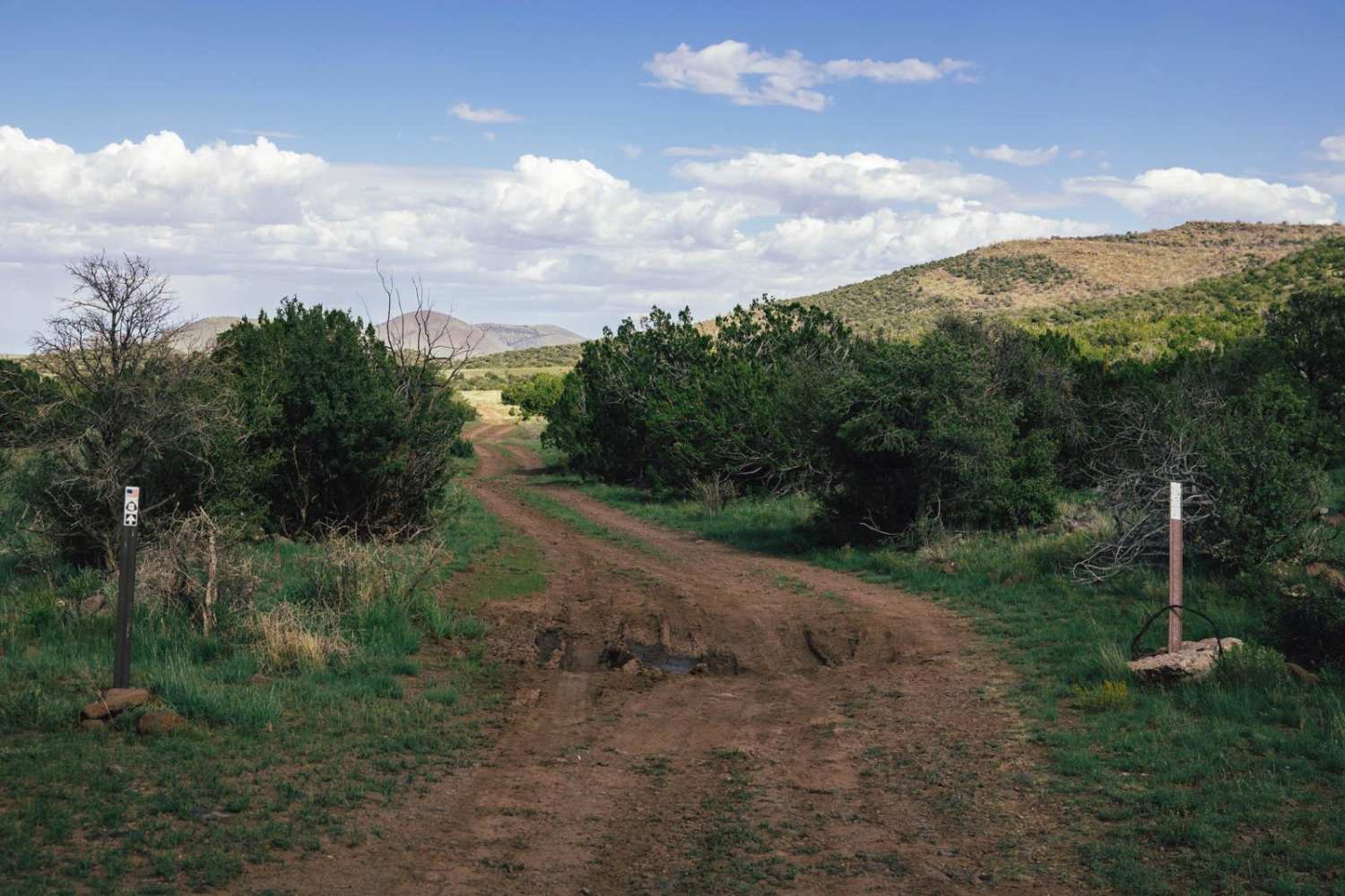
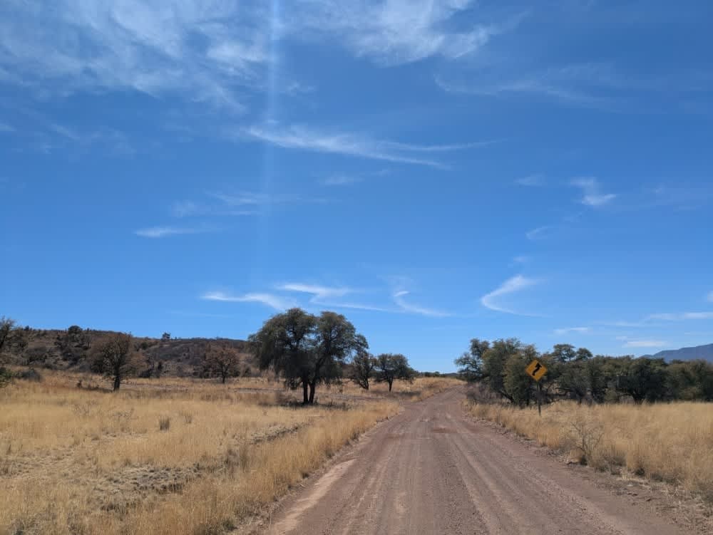
Sullivan Tank is a typical desert trail in this area of Arizona. Molded by water, there is erosion on this trail, carving channels across the trail. Because of this, it's a slow mellow trail with no obstacles on it. There are tons of jackrabbits and quail in the area, as well as cattle, who are not shy about blocking the road. One bar of service (Verizon) is present on this trail, but don't rely on that for much, as it goes in and out. It's important to note that the residential area at the north end of the trail is inaccessible due to locked gates. Other trails intersect this one. This route is on Arizona State Land Trust Land. This land requires a yearly permit that can be purchased and printed online. The permits allow certain recreational activities, including camping, bicycling, bird watching, GPS-based recreational activities (geocaching), hiking, horseback riding, off-highway vehicle (OHV) usage, photography, picnicking, and sightseeing.
Photos of Sullivan Tank
Difficulty
This is an unmaintained trail that leads past a large cattle tank. After a major rain event, this trail may be impassable on the north end, near the tank. The trail is one vehicle wide, though there are places to pull around if other vehicles are encountered.
Status Reports
Sullivan Tank can be accessed by the following ride types:
- High-Clearance 4x4
- SUV
- SxS (60")
- ATV (50")
- Dirt Bike
Sullivan Tank Map
Popular Trails

KOFA Queen Canyon Trail

43021 Power
The onX Offroad Difference
onX Offroad combines trail photos, descriptions, difficulty ratings, width restrictions, seasonality, and more in a user-friendly interface. Available on all devices, with offline access and full compatibility with CarPlay and Android Auto. Discover what you’re missing today!


