Telegraph Pass
Total Miles
1.7
Technical Rating
Best Time
Spring, Fall, Winter
Trail Type
High-Clearance 4x4 Trail
Accessible By
Trail Overview
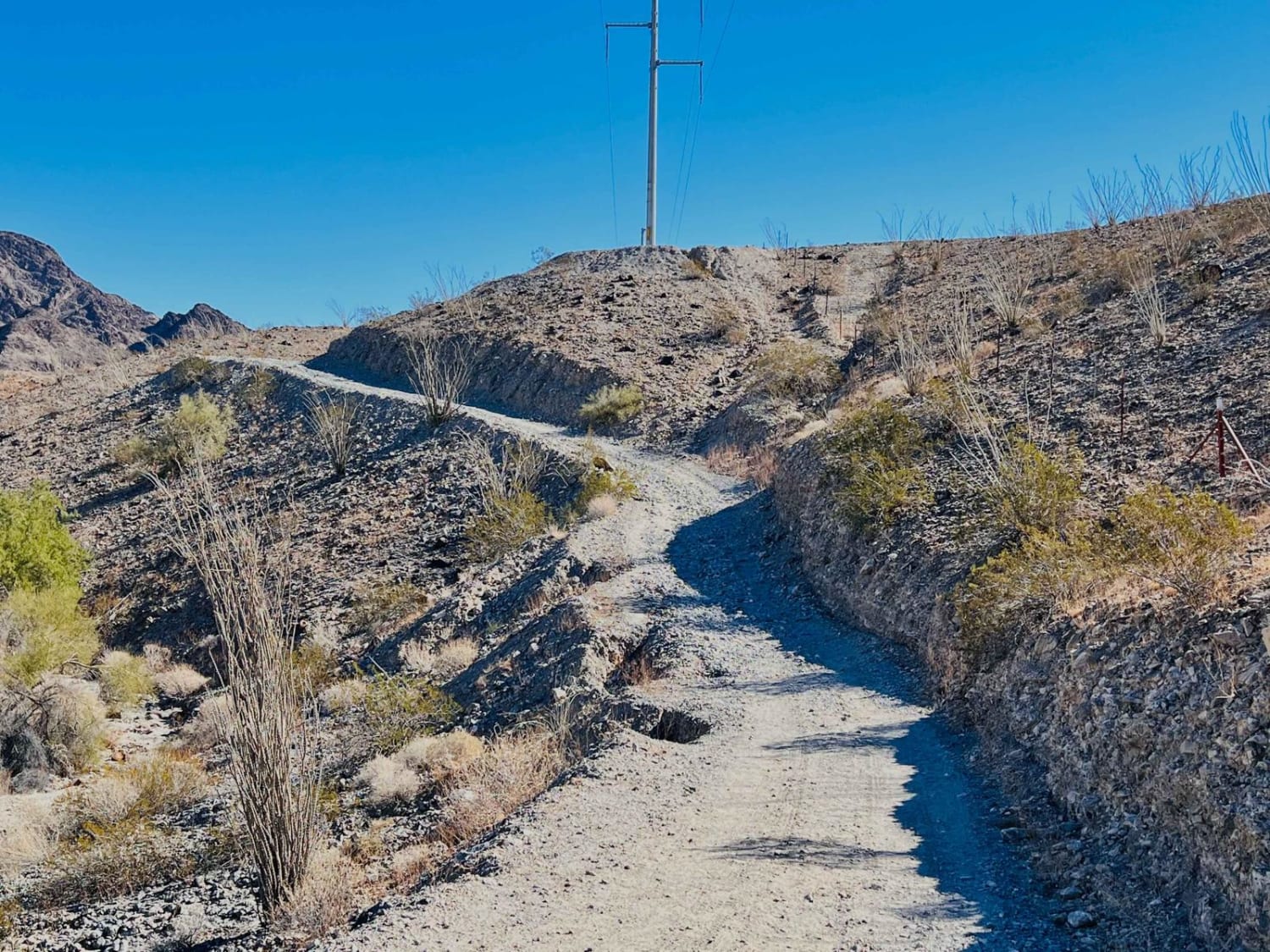
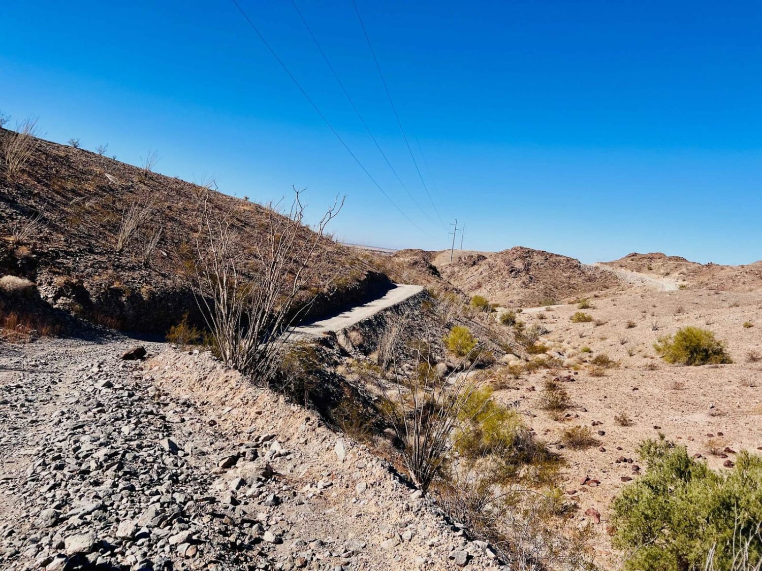
This fun out-and-back trail follows along the popular Telegraph Pass Hiking Trail. It begins just off the frontage road where two-wheel drive vehicles typically stage from. Then it has a small gatekeeper through the wash that may be more difficult depending on when the last rain was. Just past the wash, it heads to where those with motos and trucks prefer to stage. After that, the route heads along the old power-line access road with long steep rocky, loose climbs and descents. At the trail's end is a large parking area with portapotties and trash cans. From here, to drive to the top, you'll need a key. Otherwise, you're on foot like the rest of us. The telephone road continues at the turn to the trailhead, eventually ending at a dead-end steep hill turnaround point. If you're looking to test your hill climbing and decent skills, it's an excellent place to do it, with very few off-camber sections that are steep and loose. There are four bars of Verizon LTE most of the way.
Photos of Telegraph Pass
Difficulty
There are loose, steep hill climbs and descents.
Status Reports
Telegraph Pass can be accessed by the following ride types:
- High-Clearance 4x4
- SxS (60")
- ATV (50")
- Dirt Bike
Telegraph Pass Map
Popular Trails
Seegmiller Overlook
Volcanic Pastures
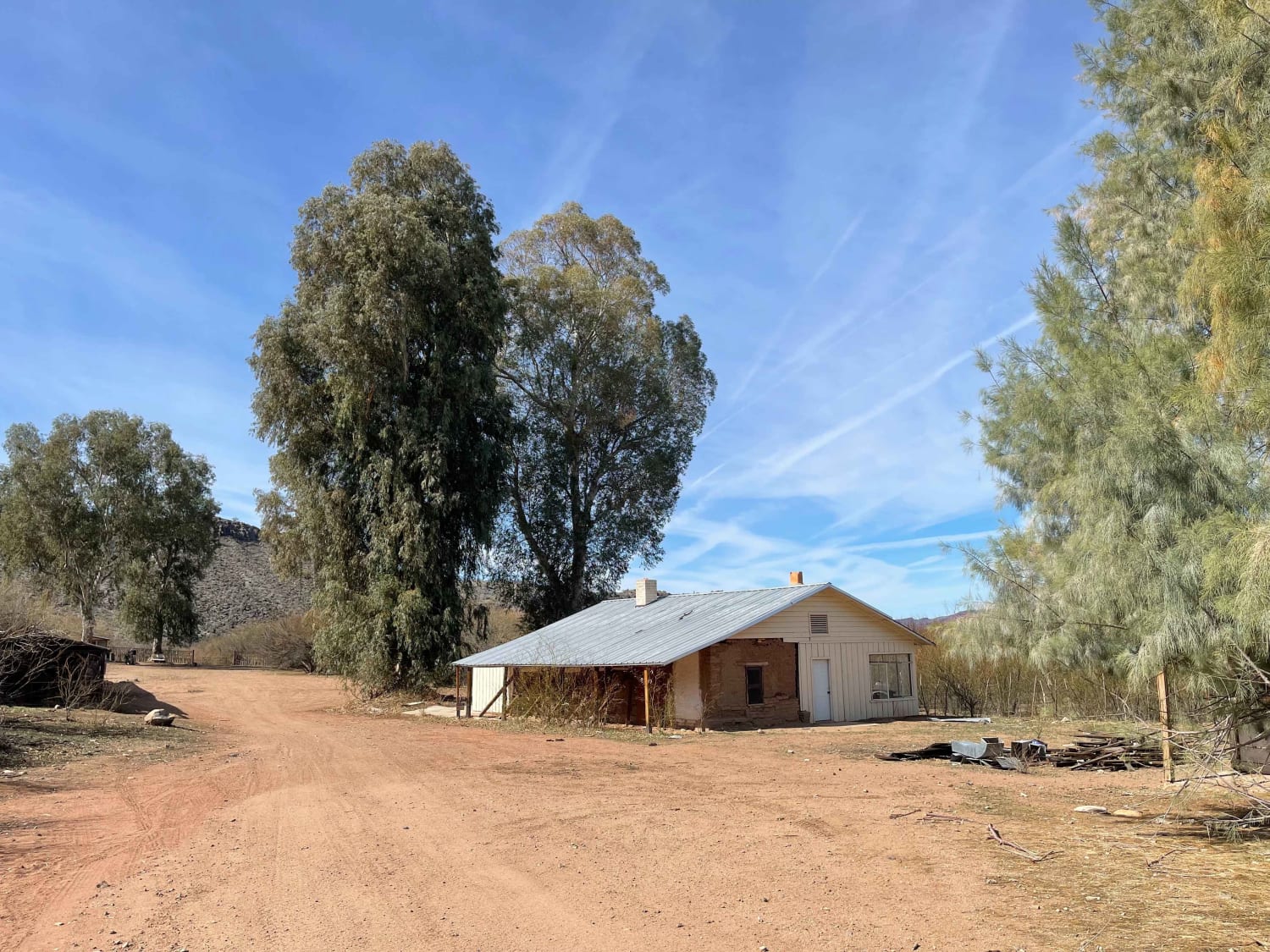
Palmerita Ranch House Spur for AZPT

Lower Mid-Canal
The onX Offroad Difference
onX Offroad combines trail photos, descriptions, difficulty ratings, width restrictions, seasonality, and more in a user-friendly interface. Available on all devices, with offline access and full compatibility with CarPlay and Android Auto. Discover what you’re missing today!
