Turkey Creek Springs FR 4408
Total Miles
1.9
Technical Rating
Best Time
Spring, Winter, Fall, Summer
Trail Type
Full-Width Road
Accessible By
Trail Overview
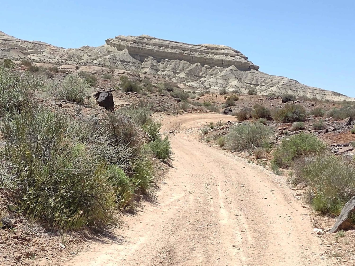
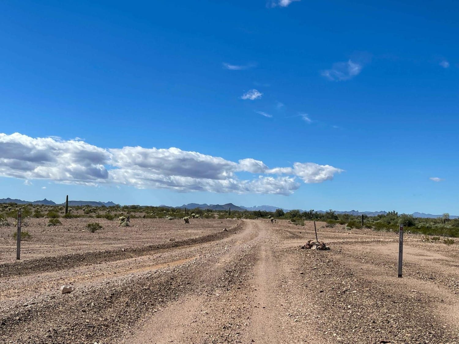
The Turkey Creek Trail in the Coronado National Forest runs along a ridge that separates Turkey Creek and Mesquite Canyons. This part of the trail is located within the Rincon Mountain Wilderness boundary. The landscape it traverses resembles that of the Saguaro National Park, with abundant saguaros and other characteristic Sonoran Desert vegetation. The trail offers views of Rincon Peak to the south and the Santa Catalinas to the north. Cell service is incredibly patchy, so download your map before your trip.
Photos of Turkey Creek Springs FR 4408
Difficulty
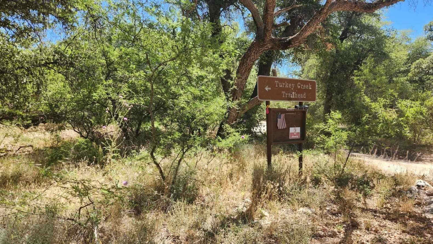
Once you start the trail after the campground, you will begin to climb on some loose rock. Although the climb is fairly steep, there are no difficult obstacles to cross. The most challenging portion of the trail is a very steep hill with loose scree that may require 4WD. It is narrow at the top of the hill, with a sharp left-hand turn. Once you get up to the top of the ridge, the views are spectacular all the way to the hiking trailhead, where you turn around to head back.
Status Reports
Turkey Creek Springs FR 4408 can be accessed by the following ride types:
- High-Clearance 4x4
- SUV
- SxS (60")
- ATV (50")
- Dirt Bike
Turkey Creek Springs FR 4408 Map
Popular Trails

East Mesa Wash Spur

Picacho Singletrack

Yellow Loop 9990
The onX Offroad Difference
onX Offroad combines trail photos, descriptions, difficulty ratings, width restrictions, seasonality, and more in a user-friendly interface. Available on all devices, with offline access and full compatibility with CarPlay and Android Auto. Discover what you’re missing today!


