Underhill #528
Total Miles
1.3
Technical Rating
Best Time
Spring, Fall, Winter
Trail Type
50" Trail
Accessible By
Trail Overview
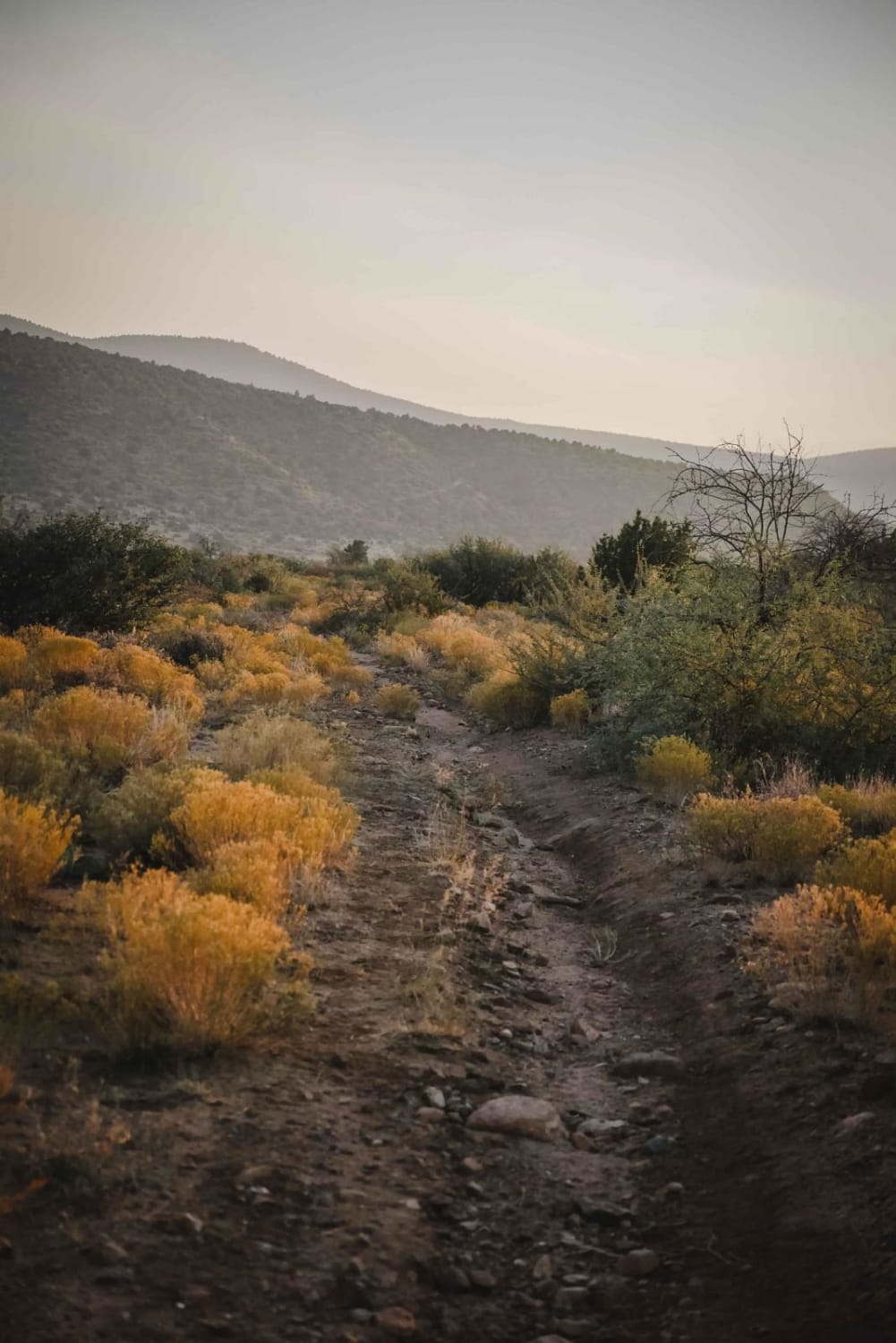
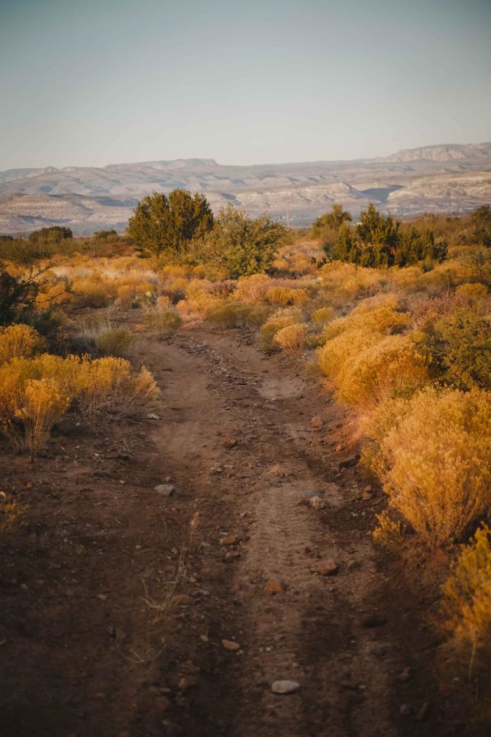
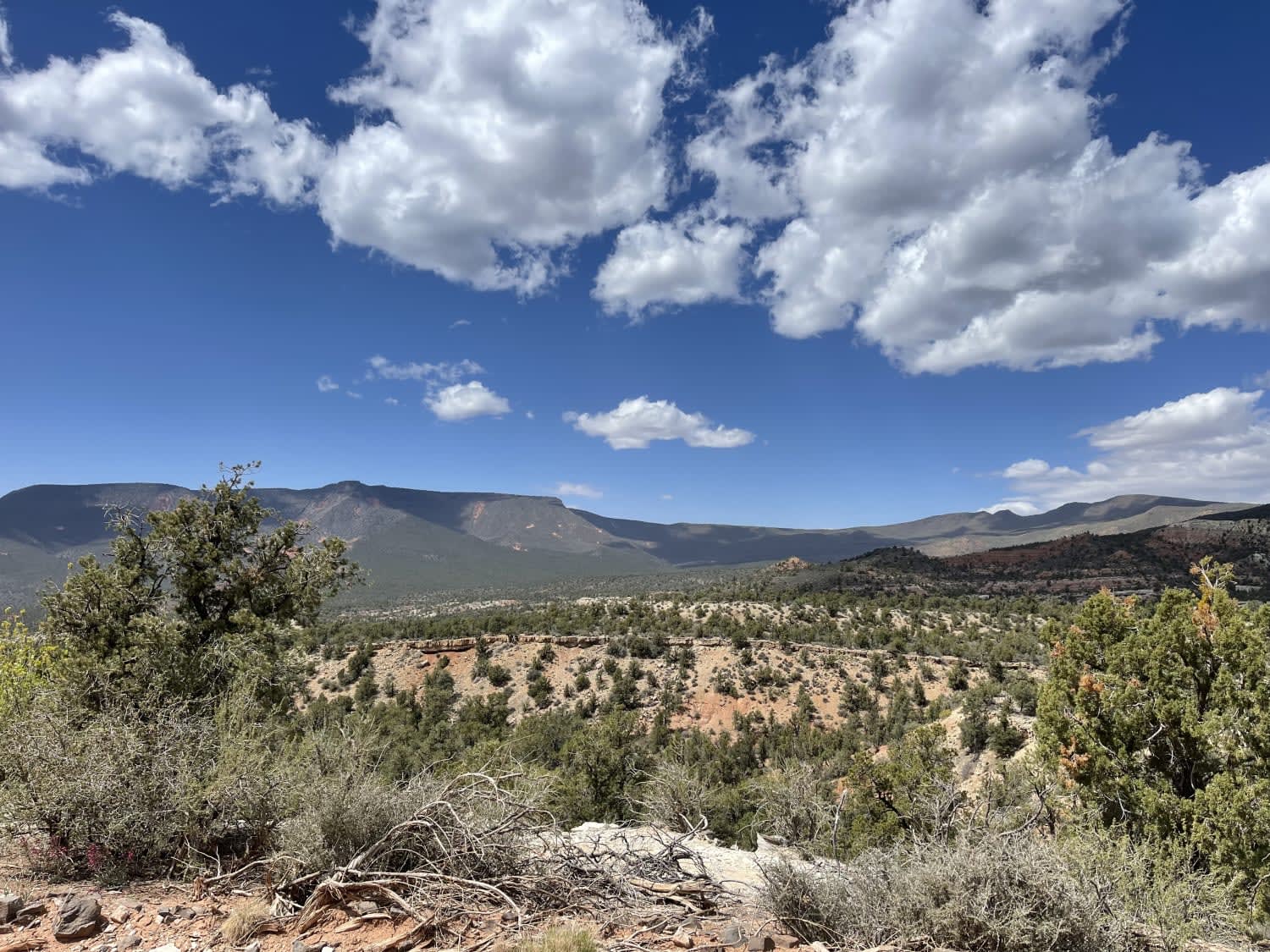
Underhill is a 50-inch trail in the Hayfield Draw OHV area that goes through a rolling desert terrain in the Sonoran Desert, around 3,600 feet in elevation. This one is fun for dirt bikes because it is narrower in spots, almost like a single track. It goes west from the intersection with Camp Verde #545 and rides across the top of a flat desert mesa, on a wider two-track with some ruts and loose rocks. Then it starts to go along the rim of the small rolling hills, on a little bit shelfier of a trail, and this is where it narrows up. It continues like this for the rest of the trail, with a bit of loose rock and small hills, until it intersects with Aultman. The narrow spots would still be easy for an ATV, it just looks mostly ridden by dirt bikes.
Photos of Underhill #528
Difficulty
This is an easy 50-inch trail with some loose rocks and curves, but it's mostly flat with no obstacles.
Status Reports
Underhill #528 can be accessed by the following ride types:
- ATV (50")
- Dirt Bike
Underhill #528 Map
Popular Trails
Stockyard Junction
Hidden Valley Springs
Cohenour Loop
The onX Offroad Difference
onX Offroad combines trail photos, descriptions, difficulty ratings, width restrictions, seasonality, and more in a user-friendly interface. Available on all devices, with offline access and full compatibility with CarPlay and Android Auto. Discover what you’re missing today!
