Upland BLM Inlet | Vekol Wash Access
Total Miles
2.5
Technical Rating
Best Time
Spring, Fall, Winter
Trail Type
Full-Width Road
Accessible By
Trail Overview
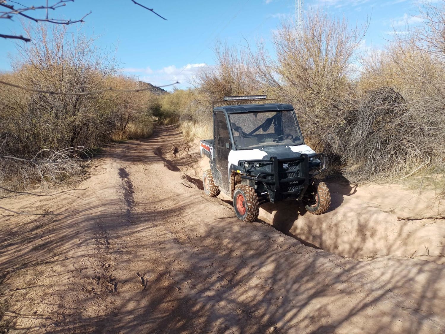
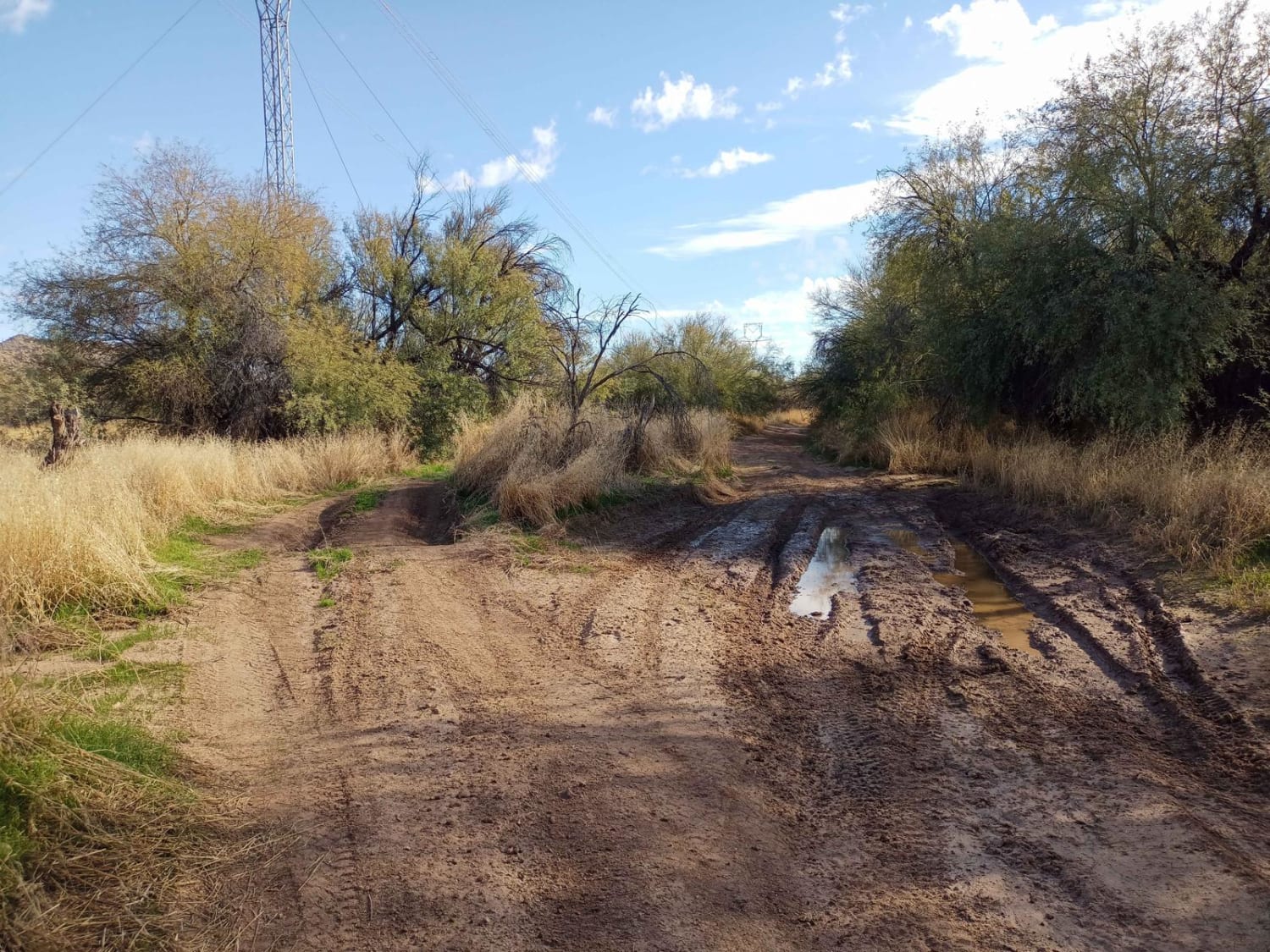
This trail connects Upland Street to the Vekol Wash and the larger BLM Trail System. It's fairly beginner-level, however, there is very soft and deep sand at the crossing of the Vekol Wash, and it should not be attempted by most 2WD vehicles. Numerous low spots fill up with deceptively deep water after it rains, sometimes 12 inches. However, one spot just north of the crossing has seen 15+-inch deep standing water at the very bottom of the dip. Thankfully, most of the problem dips have bypasses next to them.
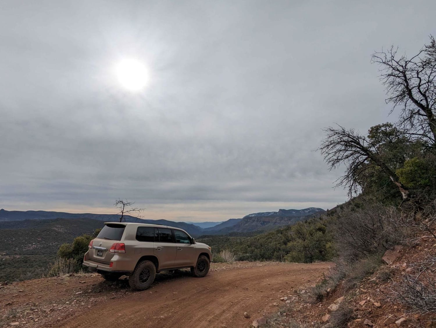
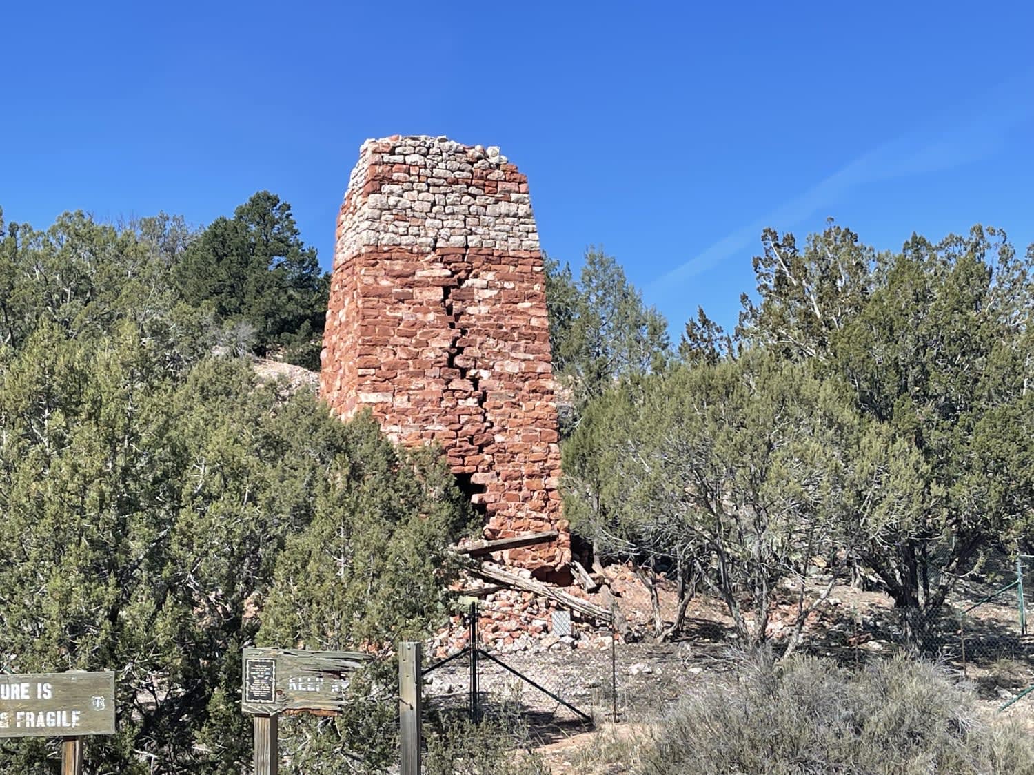
Photos of Upland BLM Inlet | Vekol Wash Access
Difficulty
The majority of this stretch is easy, however, there are several mud holes. While normally dry, they pose no issue, but sometimes after rain they can be 12 inches deep or more. They are typically bypassable. This area is subject to flash flooding once or twice a year at the Vekol Wash crossing.
History
This area has in the past been used for cattle grazing. Some barb wire fences are around, but they do not block the trails.
Popular Trails

Upper Canal Track

Haley Hills Overlook

Cherry Creek Road
The onX Offroad Difference
onX Offroad combines trail photos, descriptions, difficulty ratings, width restrictions, seasonality, and more in a user-friendly interface. Available on all devices, with offline access and full compatibility with CarPlay and Android Auto. Discover what you’re missing today!


