V Lazy Y Cabin
Total Miles
4.7
Technical Rating
Best Time
Spring, Summer, Fall
Trail Type
Full-Width Road
Accessible By
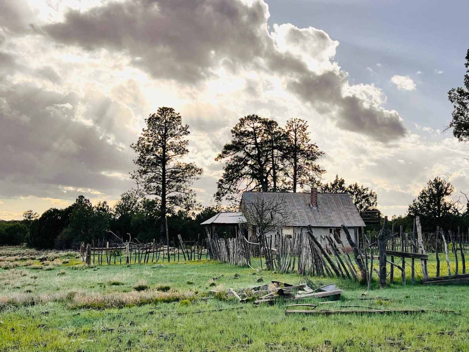
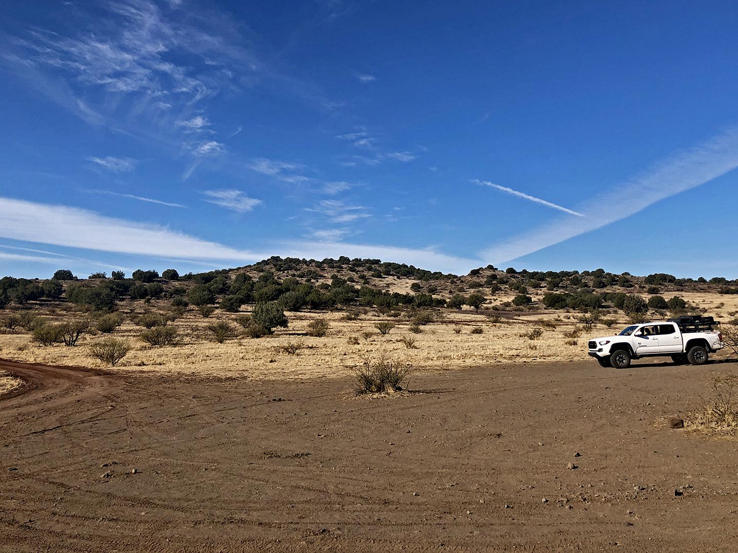
Trail Overview
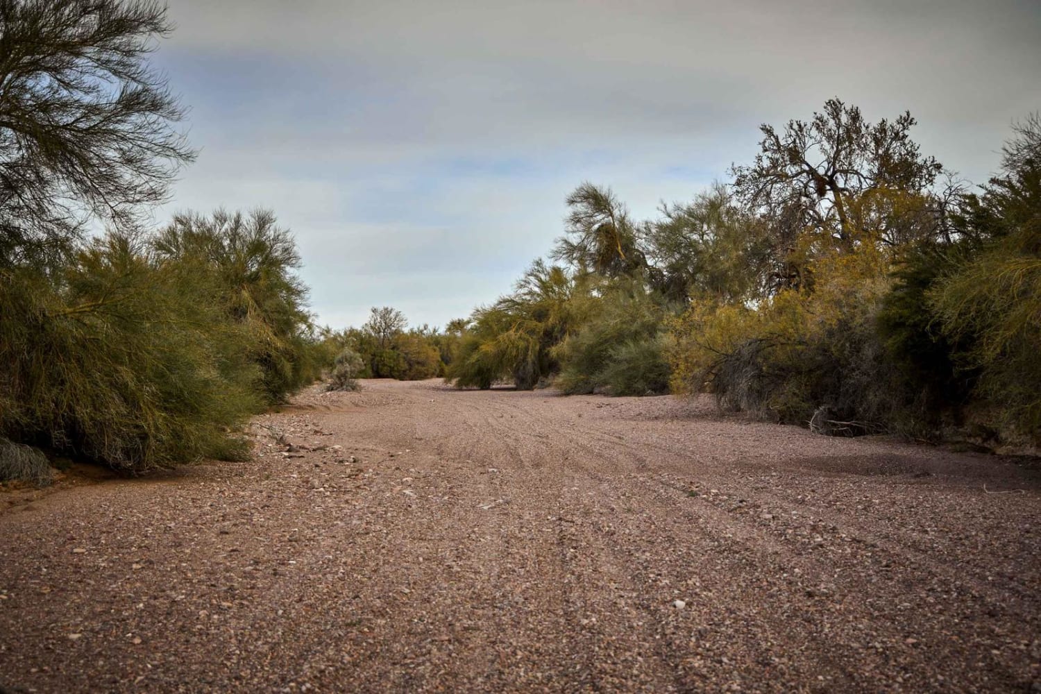
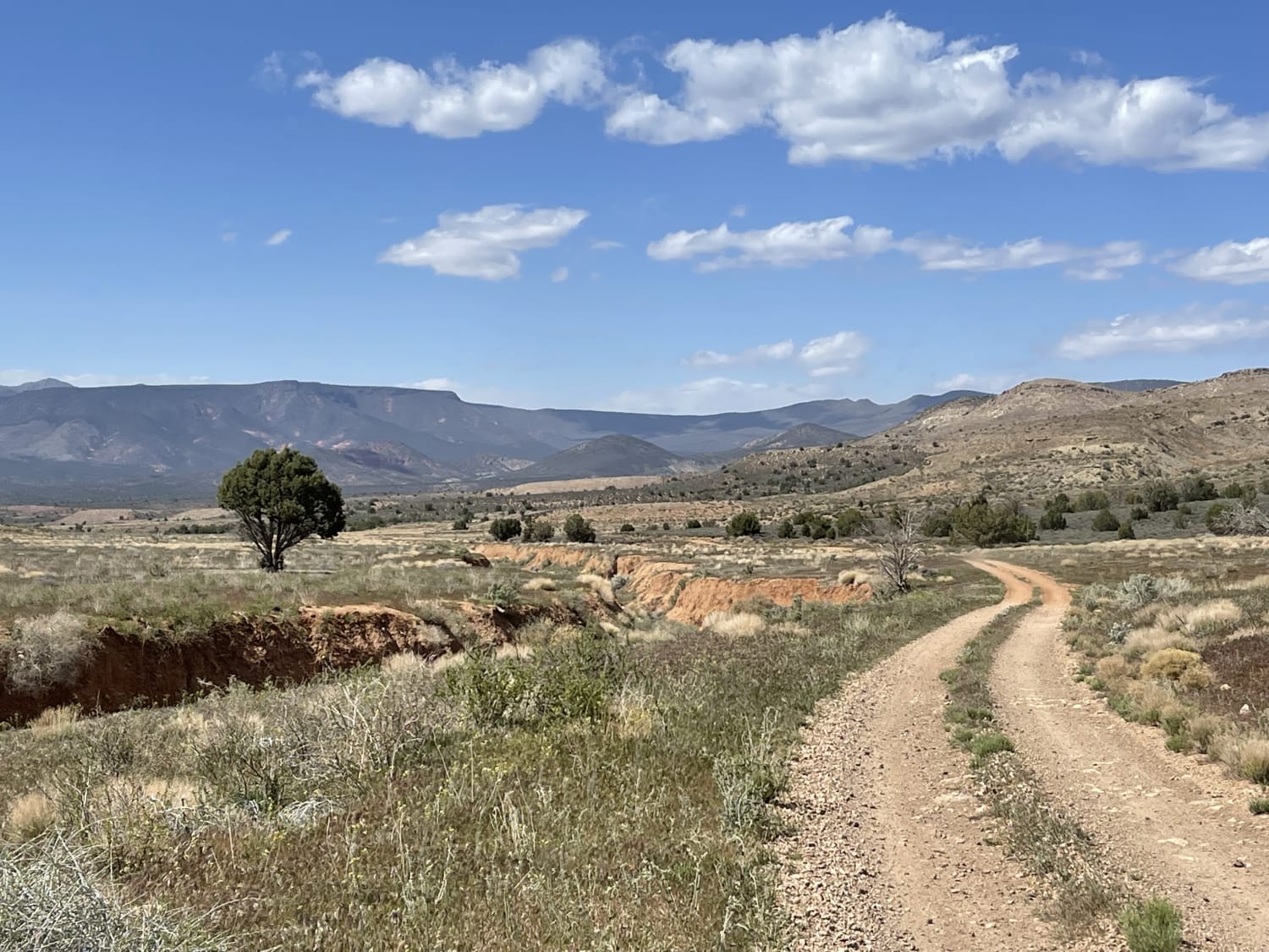
This is a loop trail with a really neat old historic cabin and homestead along the way. The trail can be picked up from Highway 260, and from this end of the trail, the cabin is only 1.4 miles in. It is undoubtedly the highlight of this trail. It's boarded up but in excellent shape. The trail continues beyond the cabin and heads off into thick juniper trees. There are multiple dense rocky sections. You'll pass two beautiful wildlife tanks that are almost like small lakes. The trail gets rockier near these and has some hills to deal with. Eventually, this trail links up with the Clear Creek Canyon trail and can be picked up and taken back to the highway. The trail gets super bouldery the last bit as it meets up with the Clear Creek Canyon.
Photos of V Lazy Y Cabin

Difficulty
The trail rating is for long rocky sections with larger boulders to navigate over and around. There are a couple of rocky hills to go up or down. This area can get muddy in spring, and there are some deep ruts to deal with.
History
The Mogollon Rim is a rugged escarpment that forms the southern limit of the Colorado Plateau. It extends across the entire forest, approximately 200 miles in total, and provides excellent views within plateau country and desert canyon country as well. Dropping as much as 2,000 feet in some areas, the Rim offers some of the most far-reaching scenery in Arizona. Views stretch from its rocky precipice to Four Peaks of the Mazatzals northeast of Phoenix. Sightseeing is a favorite activity along the Rim. Still, this forest area also boasts a historic system of hiking and horseback trails, a couple of picturesque lakes for boating and fishing, and backcountry skiing for wilderness adventurers. The Mogollon Rim is a topographical and geological feature cutting across the northern half of Arizona. It extends diagonally approximately 200 miles, starting in northern Yavapai County and running eastward, ending near the New Mexico border. It forms the southern edge of the Colorado Plateau in Arizona. The Rim is an escarpment defining the southwestern edge of the Colorado Plateau. Its central and most spectacular portions are characterized by high cliffs of limestone and sand, namely the Kaibab limestone and Coconino sandstone cliffs. This escarpment was created by erosion, faulting, and cutting dramatic canyons into it, including the Fossil Creek Canyon and Pine Canyon. The name Mogollon comes from Don Juan Ignacio Flores Mogollon, the Spanish governor of New Mexico from 1712 to 1715. The Mogollon Rim's limestones and sandstones were formed from sediments deposited in the Carboniferous and Permian Periods. Several of the Rim's rock formations are also seen on the walls of the Grand Canyon. The extensive basaltic lava flows cap or even bury the Rim in many places. Be sure to keep your eyes peeled for the endangered Mexican spotted owl. Other wildlife present on the Rim will be herds of elk and deer. You may see black bears, mountain lions, and even the occasional red-tailed hawk or peregrine falcon. There are also coyotes, horned toads, and rattlesnakes. This area frequently has fire restrictions early in the season. Be sure to contact the local ranger station for information about the current campfire restrictions. Or, at the minimum, check the Coconino Fire webpage. https://www.coconino.az.gov/2595/Fire-Restriction-Information
Status Reports

Popular Trails

Pozo Nuevo Road
Reimer Road to Squaw Peak Road
Central Red Raven Wash
The onX Offroad Difference
onX Offroad combines trail photos, descriptions, difficulty ratings, width restrictions, seasonality, and more in a user-friendly interface. Available on all devices, with offline access and full compatibility with CarPlay and Android Auto. Discover what you’re missing today!