Wheeler Wagon Trail West
Total Miles
3.7
Technical Rating
Best Time
Spring, Fall, Winter
Trail Type
Full-Width Road
Accessible By
Trail Overview
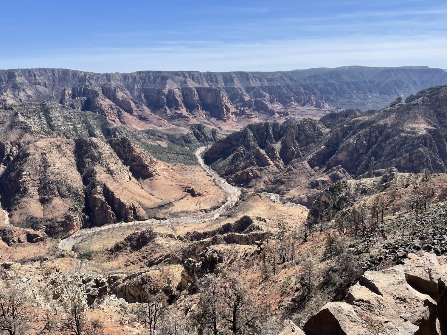
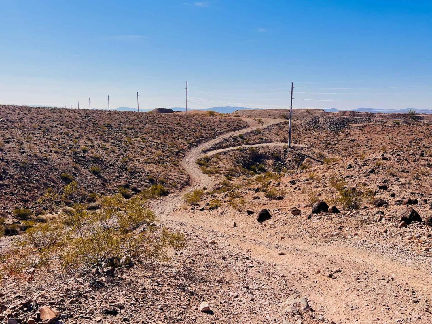
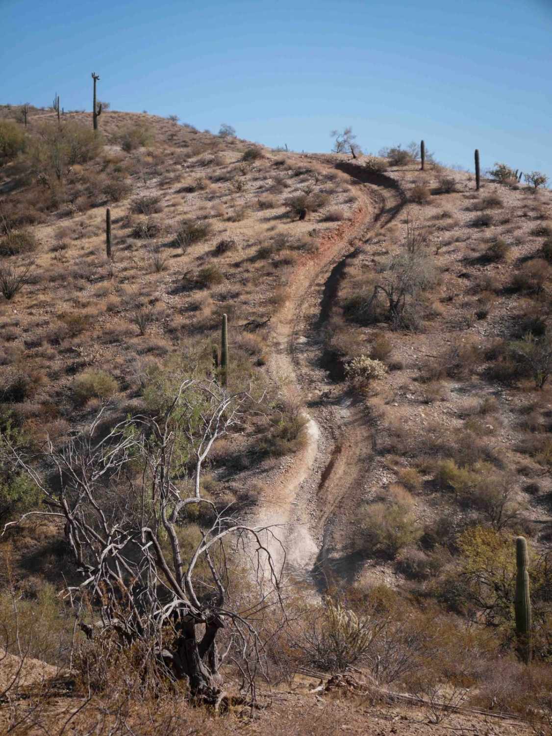
This is the western section of the Wheeler Wagon Trail running between the town of Fort Mojave and the AZPT Segment Lake Havasu to Kingman. The trail heads along a ridgeline in between two canyons. This trail is primarily narrow dirt and rock. It's not complicated, but many larger boulder rocks are on the trail. There aren't any obstacles that can't be navigated over or around with good tire placement in a higher-clearance stock 4x4. There is a slight off-camber section where it meets up with the AZPT Trail. There are lots of stacked rocks here and there along this old wagon trail. There is one flat spot close to town, neighborhoods, and the outlying communities that people pull off and possibly camp or watch the sunset. There isn't an established fire ring, though. The trail's end, closer to town, has a more challenging loop option. It takes a Y towards a neighborhood, then turns and runs along a rocky section with a long, narrow, off-camber cliff. Part of the off-camber section is along a very narrow ridgeline that has the potential to wash out eventually. The trail negotiates through some small canyons. These sections have loose rocky hill climbs and descents as they follow some powerlines. This section of the trail is best suited to smaller 4x4 vehicles and SXSs. In general, the odd part about this trail is accessing it from the city. The trail picks up from a gated neighborhood. The gates appear to be open during the day. If you are exiting this trail into the neighborhood, the exit gate will automatically open when pulling your vehicle up to it. It might be better to treat this trail as an out-and-back. Full AT&T cell service is on most of the trail due to its proximity to town. This area does get hot in the summer months. Bring extra water and supplies, and watch for rattlesnakes in the warmer months.
Photos of Wheeler Wagon Trail West
Difficulty
The one end of this trail has a very narrow and off-camber section that runs along a cliff. The cliff could erode at some point. There are also loose rocky hills along the powerline section. The transitions at the bottom are steep and can be loose and rocky. The rest of the trail has a rating of 2, with more bumpy boulders than difficult.
Status Reports
Wheeler Wagon Trail West can be accessed by the following ride types:
- High-Clearance 4x4
- SUV
- SxS (60")
- ATV (50")
- Dirt Bike
Wheeler Wagon Trail West Map
Popular Trails

FS780 / 9150 Main

Sycamore Point

Rockridge to Wash - P1346
The onX Offroad Difference
onX Offroad combines trail photos, descriptions, difficulty ratings, width restrictions, seasonality, and more in a user-friendly interface. Available on all devices, with offline access and full compatibility with CarPlay and Android Auto. Discover what you’re missing today!


